 See it in 3D
Facts
- What it is
- Mountain
- Country
- United States
- Coordinates
- 42.056°N 122.485°W
- Source
- Wikidata, CC0
Peaks near Boccard Point
- Pilot Rock5,910 ft · 6.9 km awayOn the map
- Mount Ashland7,533 ft · 19 km awayOn the map
- Grizzly Peak5,922 ft · 26 km awayOn the map
- Roxy Ann Peak3,576 ft · 41 km awayOn the map
- Aspen Butte8,215 ft · 44 km awayOn the map
- Mount McLoughlin9,495 ft · 45 km awayOn the map
- Negro Ben Mountain4,398 ft · 53 km awayOn the map
- Pelican Butte8,037 ft · 58 km awayOn the map
- Green Springs MountainMountain · 9.9 km awayOn the map
- Chinquapin MountainMountain · 11 km awayOn the map
Highest mountains in United States
- Denali20,308 ftOn the map
- Mount Saint Elias18,009 ftOn the map
- Mount Foraker17,402 ftOn the map
- Mount Bona16,535 ftOn the map
- Mount Blackburn16,390 ftOn the map
- Mount Sanford16,237 ftOn the map
- Mount Vancouver15,787 ftOn the map
- Mount Churchill15,636 ftOn the map
- Mount Fairweather15,325 ftOn the map
- Mount Hubbard14,951 ftOn the map
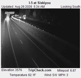
Webcams near Boccard Point



History around Boccard Point
- Klamathon Fire2018
Towns near Boccard Point
- Ashland24 km away
- Talent32 km away
- Phoenix37 km away
- Medford44 km away
- Central Point50 km away
- Eagle Point53 km away