 See it in 3D
Facts
- What it is
- Mountain
- Height above sea level
- 686 m (2,251 ft)
- Range
- Black Forest
- Country
- Germany
- Coordinates
- 48.467°N 8.026°E
- Source
- Wikidata, CC0
Peaks near Brandeckkopf
- Moos878 m · 5.5 km awayOn the map
- Geißkopf (Central Black Forest)359 m · 6.8 km awayOn the map
- Schliffkopf1,056 m · 16 km awayOn the map
- Karlsruher Grat750 m · 16 km awayOn the map
- Brandenkopf945 m · 17 km awayOn the map
- Seekopf1,055 m · 19 km awayOn the map
- Kniebis960 m · 20 km awayOn the map
- Hornisgrinde1,164 m · 20 km awayOn the map
- Rinkenkopf760 m · 26 km awayOn the map
- Mehliskopf1,008 m · 26 km awayOn the map
Highest in the Black Forest
- Feldberg1,494 mOn the map
- Belchen1,414 mOn the map
- Stübenwasen1,389 mOn the map
- Schauinsland1,284 mOn the map
- Hochkopf1,263 mOn the map
- Brenntkopf1,246 mOn the map
- Kandel1,241 mOn the map
- Hinterwaldkopf1,199 mOn the map
- Brandeckkopf686 mOn the map
Highest mountains in Germany
- Zugspitze2,962 mOn the map
- Hochwanner2,744 mOn the map
- Dreitorspitze2,682 mOn the map
- Hochkalter2,607 mOn the map
- Biberkopf2,599 mOn the map
- Großer Hundstod2,594 mOn the map
- Hochvogel2,592 mOn the map
- Östliche Karwendelspitze2,538 mOn the map
- Hocheisspitze2,523 mOn the map
- Hoher Göll2,522 mOn the map
Webcams near Brandeckkopf

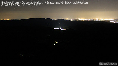


History around Brandeckkopf
- Siege of Kehl1797
- Siege of Kehl1733
- Siege of Kehl1703
- Battle of Salzbach1675
- Flugunfall der Savoia-Marchetti SM.73 OK-BAG der ČSA1938
- Battle of Kehl1796
- The Battle of Ortenbach, one of the last major engagements of the Franco-Dutch War, takes place near Offenburg at the Rhine river in southwestern Germany1678
- Siege of Kehl1678