Facts
- What it is
- Mountain
- Height above sea level
- 342 m (1,122 ft)
- Country
- Norway
- Coordinates
- 63.073°N 7.813°E
- Source
- Wikidata, CC0
Peaks near Breilia
- Kvernberget205 m · 5 km awayOn the map
- Reinsfjellet994 m · 17 km awayOn the map
- Høgheitinden694 m · 37 km awayOn the map
- Jendemsfjellet633 m · 49 km awayOn the map
- Vassnebba1,305 m · 51 km awayOn the map
- Skjorta1,712 m · 51 km awayOn the map
- Kyrkjetaket1,439 m · 52 km awayOn the map
- Ytre Sula1,318 m · 52 km awayOn the map
- Indre Sula1,325 m · 53 km awayOn the map
- Fløtatinden1,711 m · 56 km awayOn the map
Highest mountains in Norway
- Galdhøpiggen2,469 mOn the map
- Glittertind2,464 mOn the map
- Store Skagastølstind2,406 mOn the map
- Surtningssue2,368 mOn the map
- Store Memurutinden2,365 mOn the map
- Store Hellstugutinden2,346 mOn the map
- Store Knutsholstinden2,339 mOn the map
- Tjørnholstind2,323 mOn the map
- Bukkehøe2,314 mOn the map
- Dovrefjell2,286 mOn the map
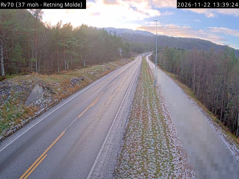
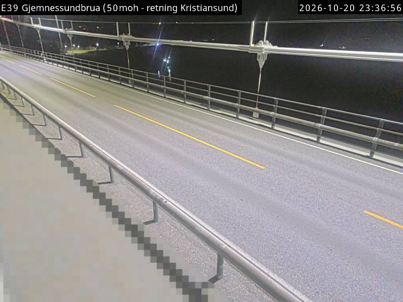
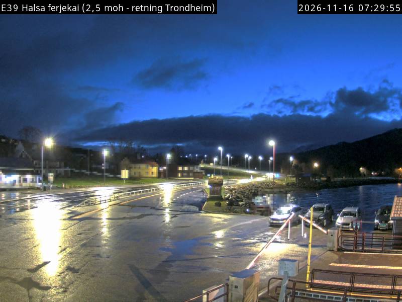
Webcams near Breilia
History around Breilia
Towns near Breilia
- Kristiansund5.9 km away
- Molde50 km away