Jendemsfjellet
633 m2,077 ft
Mountain · Norway
Jendemsfjellet is a mountain in Hustadvika Municipality in Møre og Romsdal county, Norway. The cone-shaped mountain is located just northeast of the villages of Jendem and Hollingen, southeast of the small island of Vågøya, and southwest of the village of Aureosen.
From Wikipedia, CC BY-SA · Read the article
At the summit · forecast for 1:00 AM
4 °CPartly cloudy · wind 9 km/h from the SE
 See it in 3D
Weather at the summit of Jendemsfjellet, 633 m
- 1:00 AM4 °CSE 9 km/h–
- 4:00 AM6 °CSE 12 km/h1.9 mm
- 7:00 AM6 °CSE 22 km/h–
- 10:00 AM10 °CSE 21 km/h–
- 1:00 PM11 °CS 20 km/h–
- 4:00 PM10 °CS 23 km/h–
- 7:00 PM8 °CS 31 km/h–
- 10:00 PM6 °CS 21 km/h–
| Day | Sky | High / low | Rain | Wind up to |
|---|---|---|---|---|
| Today | Partly cloudy | 12 °C / 4 °C | 1.9 mm | 32 km/h |
| Wed, Oct 28 | Cloudy | 6 °C / 4 °C | 1.8 mm | 23 km/h |
| Thu, Oct 29 | Rain | 10 °C / 4 °C | 9.7 mm | 24 km/h |
| Fri, Oct 30 | Cloudy | 10 °C / 8 °C | 2.4 mm | 12 km/h |
| Sat, Oct 31 | Rain | 9 °C / 7 °C | 3.9 mm | 8 km/h |
| Sun, Nov 1 | Rain | 8 °C / 6 °C | 7.6 mm | 14 km/h |
| Mon, Nov 2 | Cloudy | 8 °C / 6 °C | 16.3 mm | 17 km/h |
Forecast by MET Norway (CC BY 4.0), updated 12:30 AM GMT+1. Times are local.
Facts
- What it is
- Mountain
- Height above sea level
- 633 m (2,077 ft)
- Prominence
- 555 m (1,821 ft)
- Country
- Norway
- Coordinates
- 62.801°N 7.044°E
- Source
- Wikidata, CC0
Jendemsfjellet
Mountain in Hustadvika, Norway
Jendemsfjellet is a mountain in Hustadvika Municipality in Møre og Romsdal county, Norway. The cone-shaped mountain is located just northeast of the villages of Jendem and Hollingen, southeast of the small island of Vågøya, and southwest of the village of Aureosen. The 633-metre (2,077 ft) mountain sits just east of Julsundet strait and south of Frænafjorden.
From Wikipedia, CC BY-SA · Read the article
Peaks near Jendemsfjellet
- Høgheitinden694 m · 12 km awayOn the map
- Reinsfjellet994 m · 47 km awayOn the map
- Kyrkjetaket1,439 m · 49 km awayOn the map
- Bispen1,462 m · 49 km awayOn the map
- Store Trolltind1,788 m · 49 km awayOn the map
- Trollryggen1,725 m · 50 km awayOn the map
- Romsdalshornet1,550 m · 51 km awayOn the map
- Store Venjetinden1,852 m · 52 km awayOn the map
- Kvernberget205 m · 52 km awayOn the map
- Juratinden1,712 m · 57 km awayOn the map
Highest mountains in Norway
- Galdhøpiggen2,469 mOn the map
- Glittertind2,464 mOn the map
- Store Skagastølstind2,406 mOn the map
- Surtningssue2,368 mOn the map
- Store Memurutinden2,365 mOn the map
- Store Hellstugutinden2,346 mOn the map
- Store Knutsholstinden2,339 mOn the map
- Tjørnholstind2,323 mOn the map
- Bukkehøe2,314 mOn the map
- Dovrefjell2,286 mOn the map
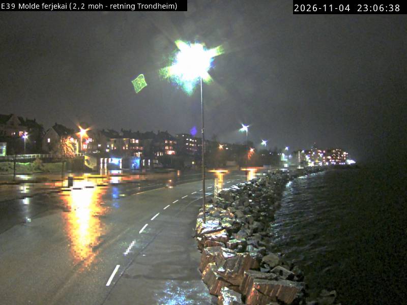
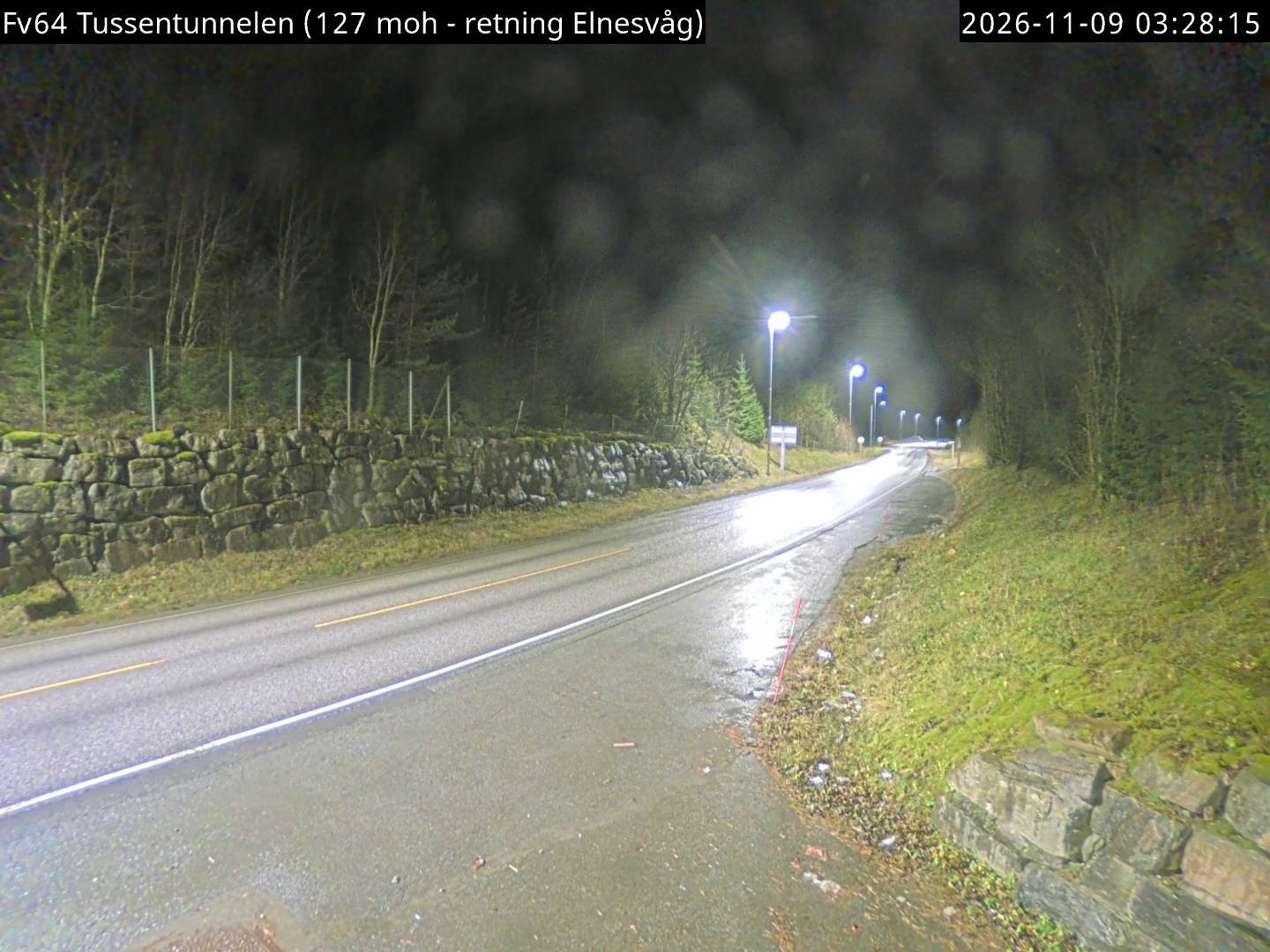
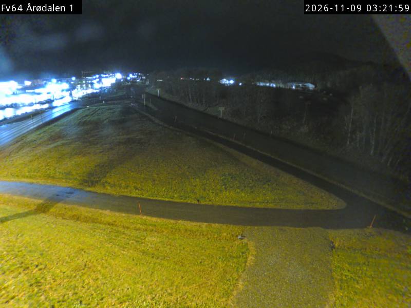
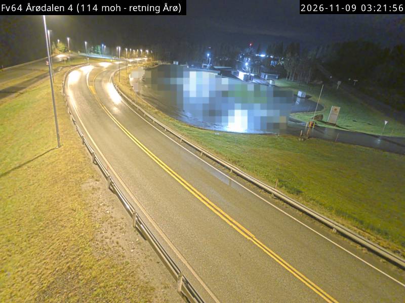
Webcams near Jendemsfjellet
Towns near Jendemsfjellet
- Molde9.2 km away
- Kristiansund49 km away
- Ålesund58 km away