Mountains in Switzerland
Brünberg
2,982 m9,783 ft
Mountain · Schreckhorn-Wetterhorn Group · Switzerland
At the summit · forecast for 12:00 AM
-2 °CCloudy · wind 3 km/h from the W
 See it in 3D
Weather at the summit of Brünberg, 2,982 m
- 12:00 AM-2 °CW 3 km/h–
- 3:00 AM-3 °CSW 3 km/h–
- 6:00 AM-5 °CSW 3 km/h–
- 9:00 AM-0 °CSW 4 km/h–
- 12:00 PM4 °CNW 4 km/h–
- 3:00 PM3 °CNW 4 km/h–
- 6:00 PM-2 °CW 4 km/h–
- 9:00 PM-6 °CW 5 km/h–
| Day | Sky | High / low | Rain | Wind up to |
|---|---|---|---|---|
| Tue, Oct 27 | Mostly clear | 4 °C / -9 °C | – | 7 km/h |
| Wed, Oct 28 | Partly cloudy | -1 °C / -10 °C | 0.4 mm | 6 km/h |
| Thu, Oct 29 | Clear | 1 °C / -9 °C | – | 5 km/h |
| Fri, Oct 30 | Clear | 1 °C / -9 °C | – | 3 km/h |
| Sat, Oct 31 | Mostly clear | 1 °C / -7 °C | – | 5 km/h |
| Sun, Nov 1 | Clear | 0 °C / -6 °C | – | 5 km/h |
| Mon, Nov 2 | Clear | -2 °C / -9 °C | – | 7 km/h |
Forecast by MET Norway (CC BY 4.0), updated 08:16 PM GMT+1. Times are local.
Facts
- What it is
- Mountain
- Height above sea level
- 2,982 m (9,783 ft)
- Prominence
- 170 m (558 ft)
- Range
- Schreckhorn-Wetterhorn Group
- Parent peak
- Finsteraarhorn
- Country
- Switzerland
- Coordinates
- 46.577°N 8.281°E
- Source
- Wikidata, CC0
Peaks near Brünberg
- Oberaarhorn3,631 m · 9.6 km awayOn the map
- Galenstock3,586 m · 11 km awayOn the map
- Lauteraarhorn4,042 m · 12 km awayOn the map
- Schreckhorn4,078 m · 13 km awayOn the map
- Finsteraarhorn4,274 m · 13 km awayOn the map
- Dammastock3,630 m · 13 km awayOn the map
- Agassizhorn3,947 m · 13 km awayOn the map
- Wetterhorn3,690 m · 14 km awayOn the map
- Witenwasserenstock3,085 m · 16 km awayOn the map
- Gross Grünhorn4,043 m · 16 km awayOn the map
Parent peak
The nearest higher peak its prominence is measured to.
- Finsteraarhorn4,274 mOn the map
Highest in the Schreckhorn-Wetterhorn Group
- Schreckhorn4,078 mOn the map
- Mittelhorn3,702 mOn the map
- Ritzlihorn3,277 mOn the map
- Brünberg2,982 mOn the map
Highest mountains in Switzerland
- Dufourspitze4,634 mOn the map
- Dom4,546 mOn the map
- Lyskamm4,532 mOn the map
- Weisshorn4,505 mOn the map
- Matterhorn4,478 mOn the map
- Dent Blanche4,357 mOn the map
- Grand Combin4,309 mOn the map
- Finsteraarhorn4,274 mOn the map
- Zinalrothorn4,221 mOn the map
- Alphubel4,206 mOn the map
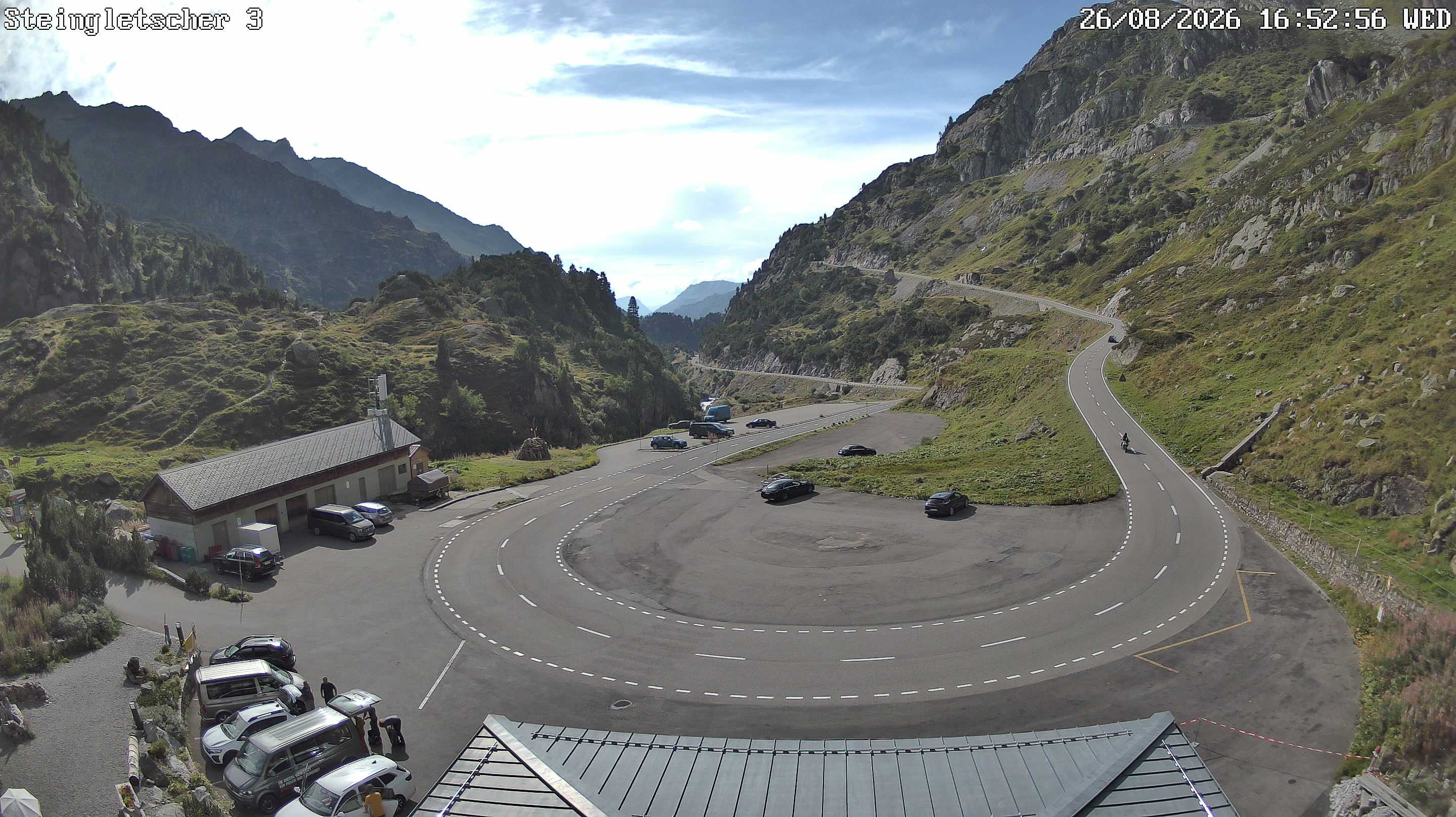
Webcams near Brünberg



History around Brünberg
Towns near Brünberg
- Kriens51 km away
- Domodossola51 km away
- Littau53 km away
- Luzern53 km away
- Thun54 km away
- Steffisburg54 km away