 See it in 3D
Facts
- What it is
- Mountain
- Height above sea level
- 2,826 ft (861 m)
- Prominence
- 1,037 ft (316 m)
- Range
- Santa Monica Mountains
- Country
- United States
- Coordinates
- 34.086°N 118.785°W
- Source
- Wikidata, CC0
Peaks near Castro Peak
- Point Dume203 ft · 9.6 km awayOn the map
- Saddle Peak2,805 ft · 12 km awayOn the map
- Simi Peak2,405 ft · 13 km awayOn the map
- Sandstone Peak3,114 ft · 14 km awayOn the map
- Exchange Peak2,949 ft · 15 km awayOn the map
- Tarantula Hill1,057 ft · 16 km awayOn the map
- Tri Peaks3,009 ft · 16 km awayOn the map
- Eagle Rock1,955 ft · 20 km awayOn the map
- Conejo Mountain1,814 ft · 22 km awayOn the map
- Chatsworth Peak2,313 ft · 23 km awayOn the map
Highest in the Santa Monica Mountains
- Sandstone Peak3,114 ftOn the map
- Castro Peak2,826 ftOn the map
- Saddle Peak2,805 ftOn the map
- Eagle Rock1,955 ftOn the map
- Cahuenga Peak1,821 ftOn the map
- Mount Hollywood1,614 ftOn the map
Highest mountains in United States
- Denali20,308 ftOn the map
- Mount Saint Elias18,009 ftOn the map
- Mount Foraker17,402 ftOn the map
- Mount Bona16,535 ftOn the map
- Mount Blackburn16,390 ftOn the map
- Mount Sanford16,237 ftOn the map
- Mount Vancouver15,787 ftOn the map
- Mount Churchill15,636 ftOn the map
- Mount Fairweather15,325 ftOn the map
- Mount Hubbard14,951 ftOn the map
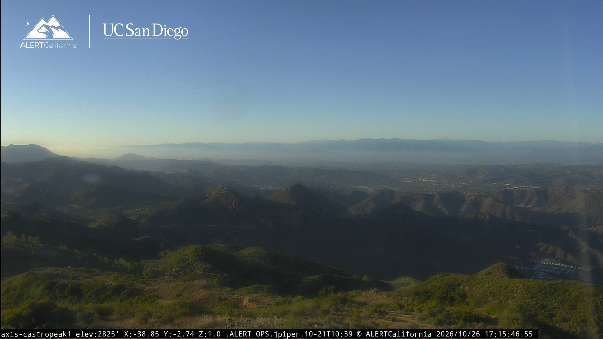
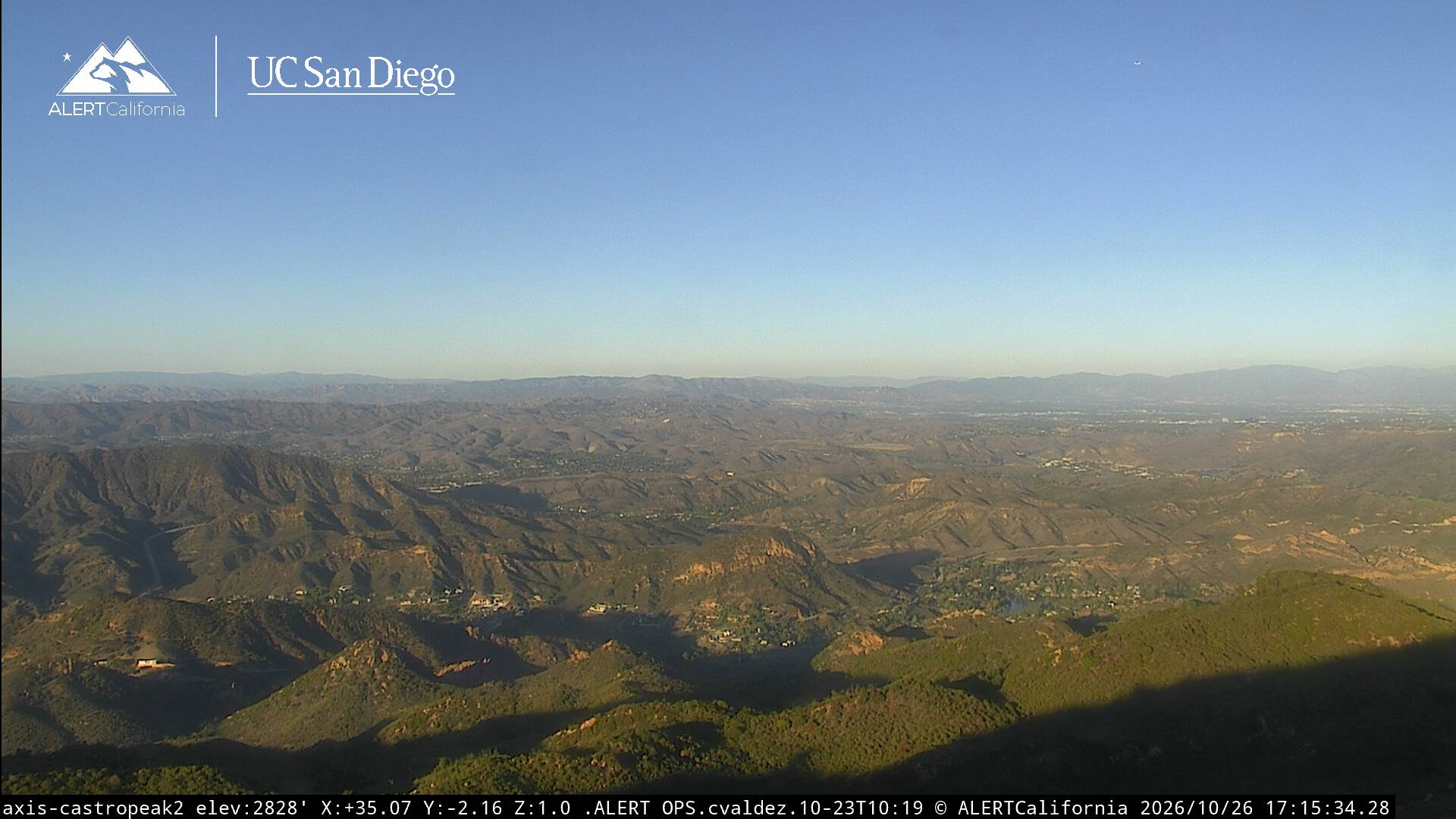
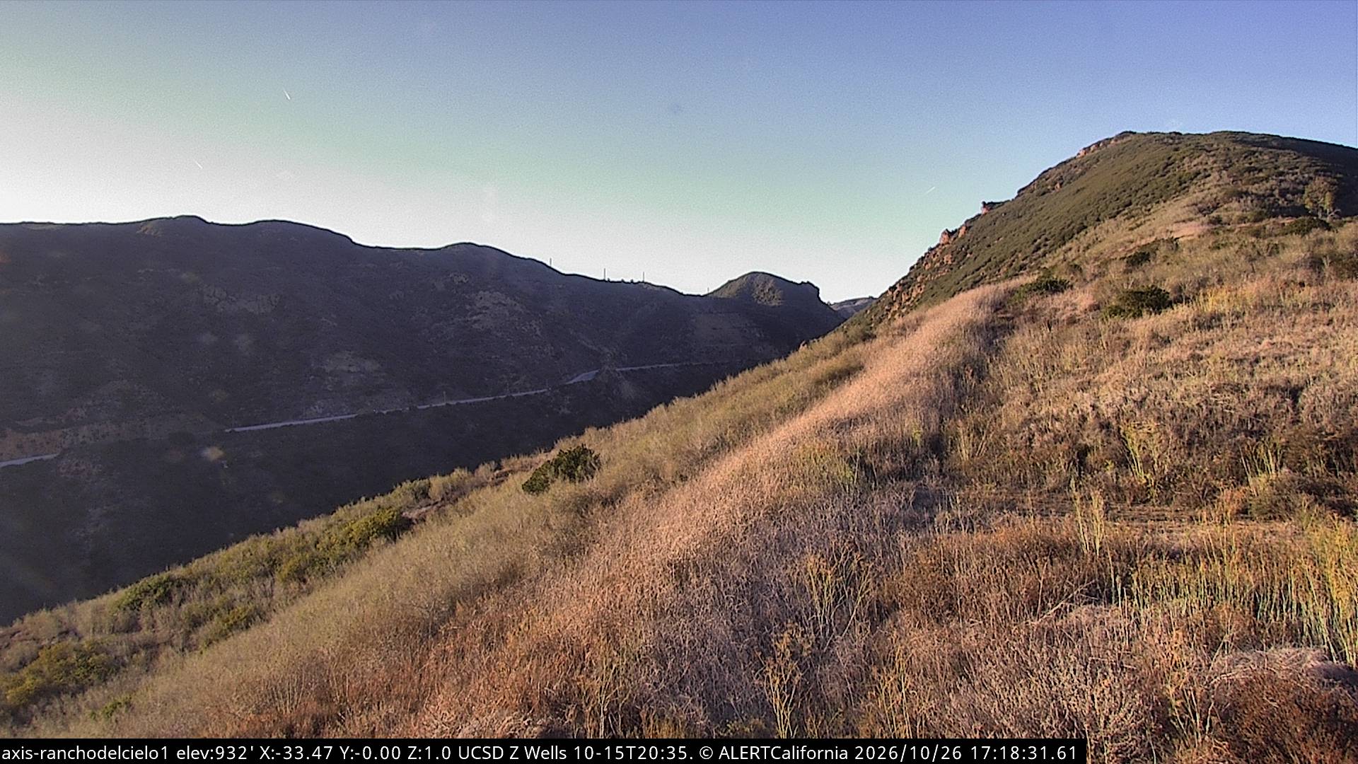
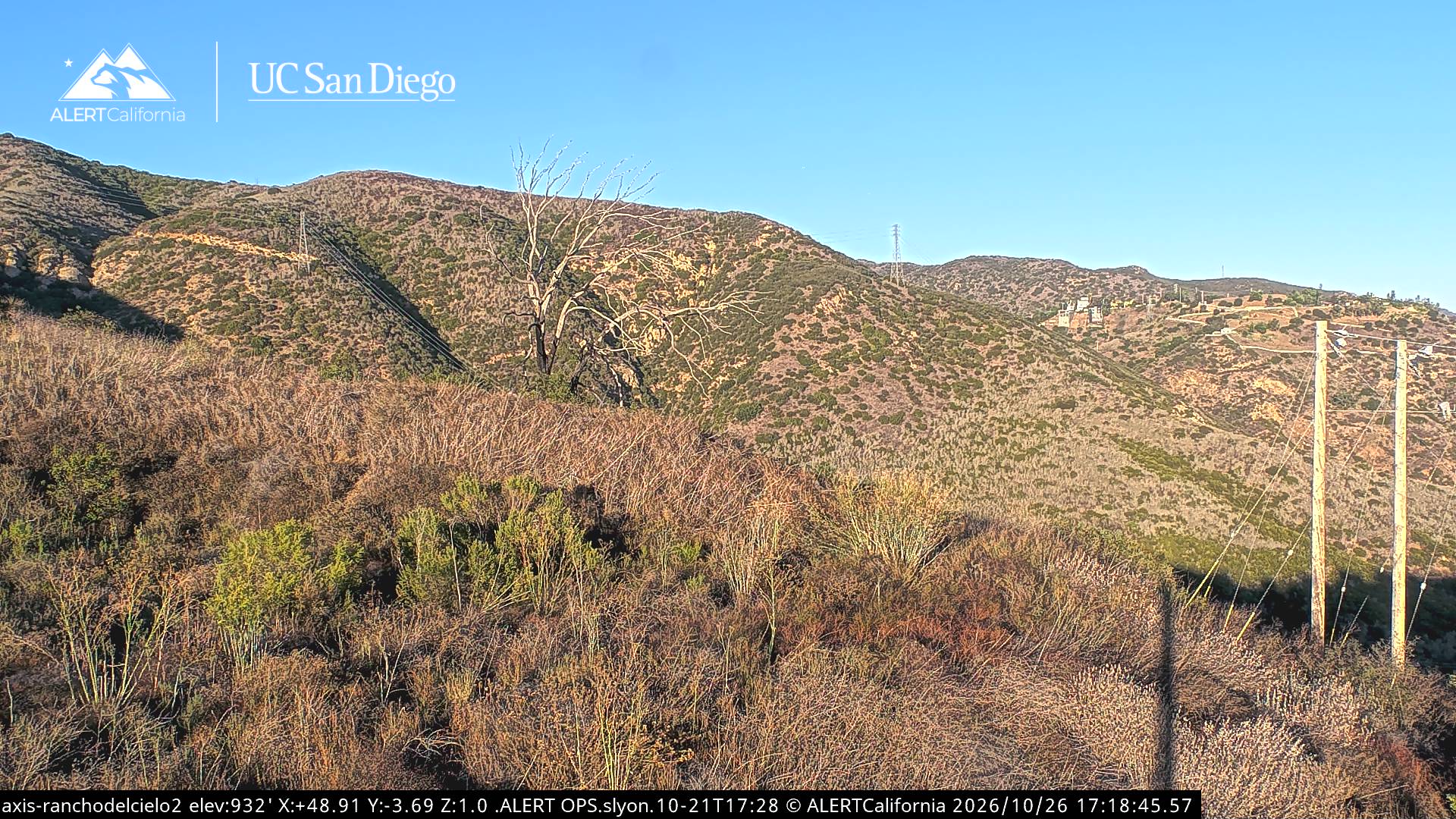
Webcams near Castro Peak

History around Castro Peak
Towns near Castro Peak
- Agoura Hills5.7 km away
- Westlake Village6.4 km away
- Malibu7.1 km away
- Agoura7.7 km away
- Thousand Oaks11 km away
- Calabasas12 km away