Conejo Mountain
1,814 ft553 m
Mountain · United States
Conejo Mountain is a 1,814-foot-high mountain (553 m) in Ventura County, California, near Camarillo on the eastern boundary of the Oxnard Plain. At the western edge of the Conejo Valley, it is adjacent to the Santa Monica Mountains.
From Wikipedia, CC BY-SA · Read the article
At the summit · forecast for 4:00 PM
67 °FClear · wind 8 mph from the SW
 See it in 3D
Weather at the summit of Conejo Mountain, 1,814 ft
- 4:00 PM67 °FSW 8 mph–
- 7:00 PM60 °FS 9 mph–
- 10:00 PM56 °FSE 5 mph–
- 1:00 AM54 °FE 4 mph–
- 4:00 AM51 °FE 5 mph–
- 7:00 AM50 °FE 5 mph–
- 10:00 AM65 °FE 5 mph–
- 1:00 PM71 °FSW 9 mph–
| Day | Sky | High / low | Rain | Wind up to |
|---|---|---|---|---|
| Tue, Oct 27 | Clear | 71 °F / 50 °F | – | 9 mph |
| Wed, Oct 28 | Mostly clear | 71 °F / 51 °F | – | 10 mph |
| Thu, Oct 29 | Cloudy | 65 °F / 52 °F | – | 4 mph |
| Fri, Oct 30 | Rain | 65 °F / 53 °F | 0.11 in | 6 mph |
| Sat, Oct 31 | Rain | 61 °F / 53 °F | 0.12 in | 3 mph |
| Sun, Nov 1 | Clear | 62 °F / 48 °F | – | 9 mph |
| Mon, Nov 2 | Clear | 73 °F / 52 °F | – | 17 mph |
Forecast by MET Norway (CC BY 4.0), updated 12:17 PM PDT. Times are local.
Facts
- What it is
- Mountain
- Height above sea level
- 1,814 ft (553 m)
- Country
- United States
- Coordinates
- 34.188°N 118.984°W
- Source
- Wikidata, CC0
Conejo Mountain
Extinct volcano in California
Conejo Mountain is a 1,814-foot-high mountain (553 m) in Ventura County, California, near Camarillo on the eastern boundary of the Oxnard Plain. At the western edge of the Conejo Valley, it is adjacent to the Santa Monica Mountains. Crossing what was once a formidable barrier for travelers, U.S. Route 101 passes through the area on the steep Conejo Grade.
From Wikipedia, CC BY-SA · Read the article
Peaks near Conejo Mountain
- Tri Peaks3,009 ft · 8 km awayOn the map
- Exchange Peak2,949 ft · 8.9 km awayOn the map
- Tarantula Hill1,057 ft · 8.9 km awayOn the map
- Sandstone Peak3,114 ft · 9 km awayOn the map
- Simi Peak2,405 ft · 19 km awayOn the map
- Castro Peak2,826 ft · 22 km awayOn the map
- Point Dume203 ft · 26 km awayOn the map
- Chatsworth Peak2,313 ft · 32 km awayOn the map
- Saddle Peak2,805 ft · 33 km awayOn the map
- Rocky Peak2,715 ft · 34 km awayOn the map
Highest mountains in United States
- Denali20,308 ftOn the map
- Mount Saint Elias18,009 ftOn the map
- Mount Foraker17,402 ftOn the map
- Mount Bona16,535 ftOn the map
- Mount Blackburn16,390 ftOn the map
- Mount Sanford16,237 ftOn the map
- Mount Vancouver15,787 ftOn the map
- Mount Churchill15,636 ftOn the map
- Mount Fairweather15,325 ftOn the map
- Mount Hubbard14,951 ftOn the map
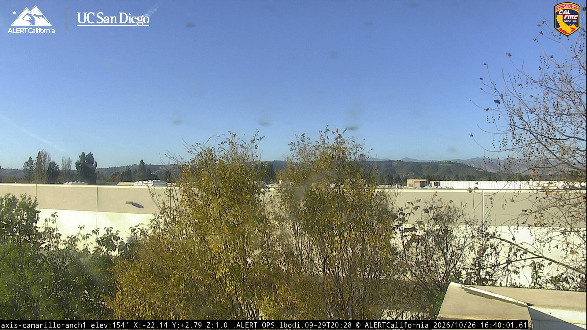
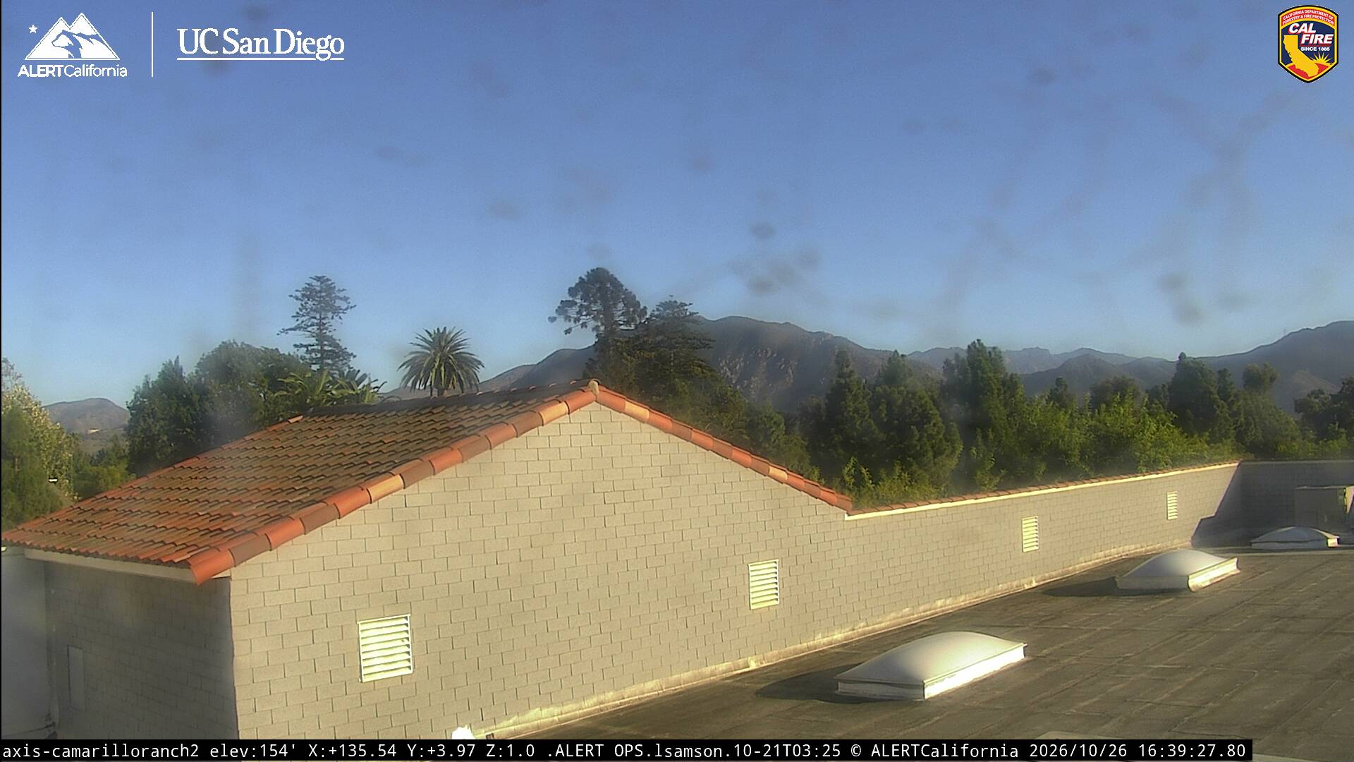
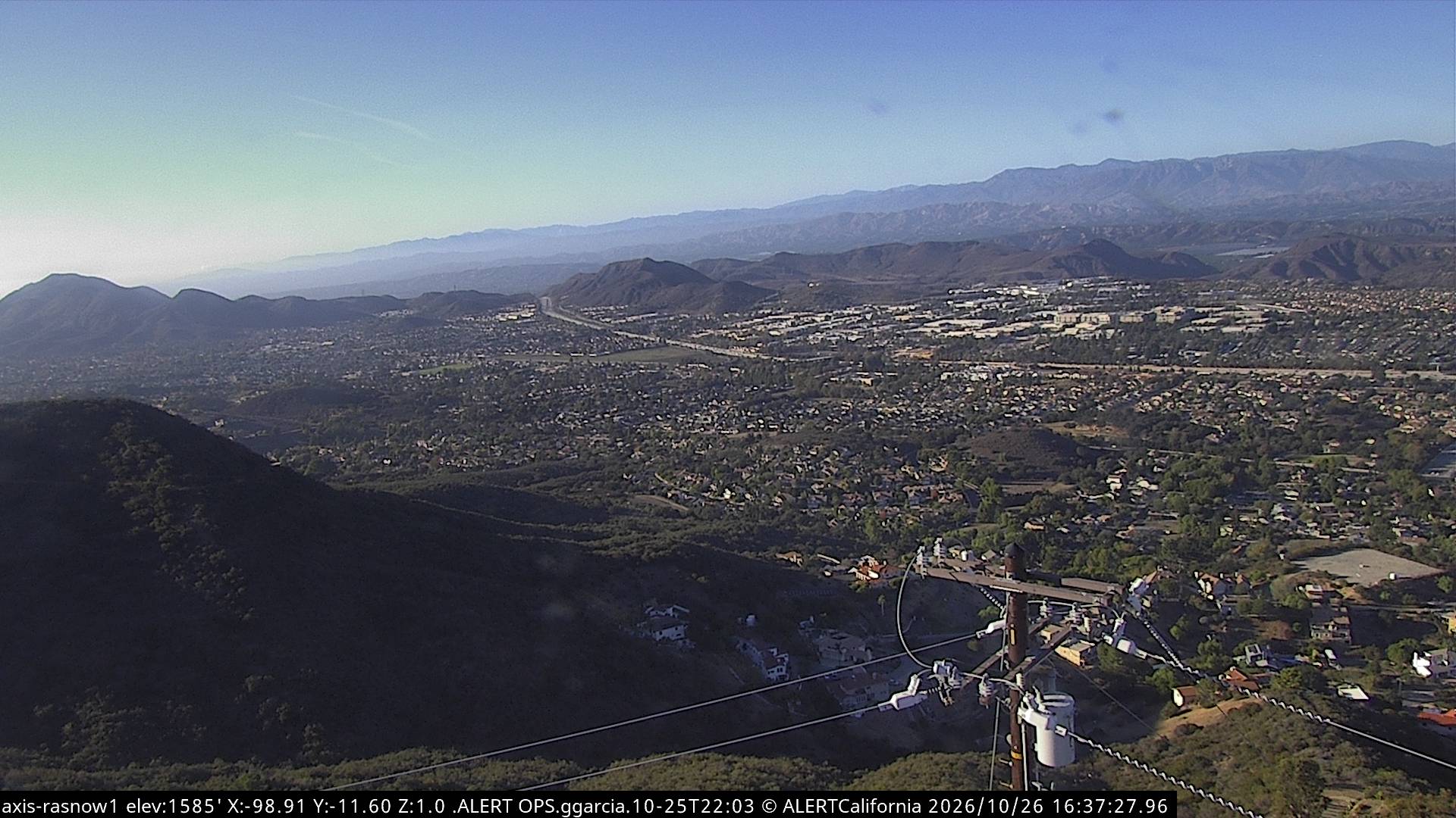
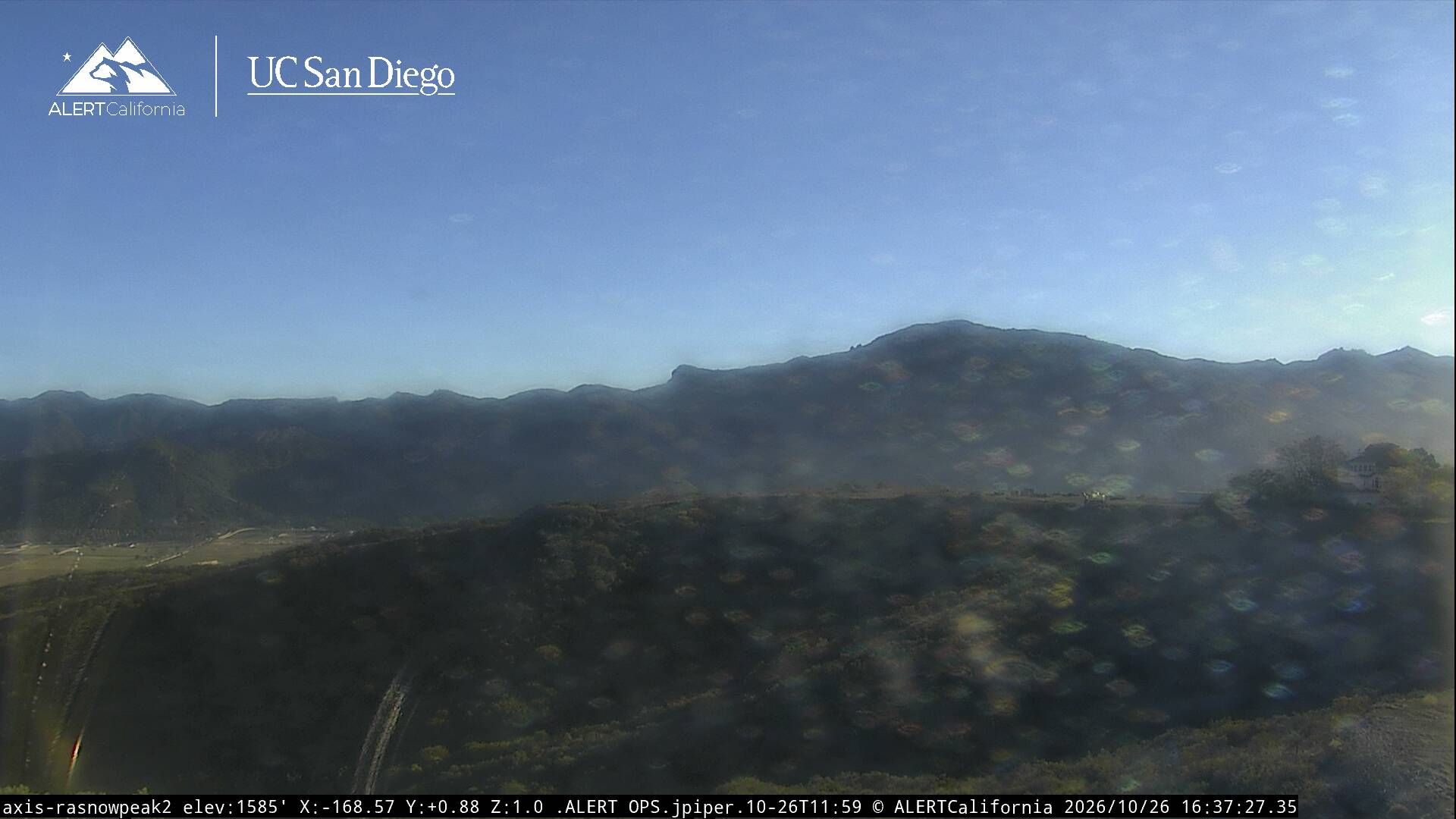
Webcams near Conejo Mountain
History around Conejo Mountain
Towns near Conejo Mountain
- Camarillo5.8 km away
- Thousand Oaks14 km away
- Moorpark14 km away
- Westlake Village16 km away
- Oxnard18 km away
- Santa Paula20 km away