Mountains in Ireland
See it in 3DCoppanagh
365 m1,198 ft
Mountain · Ireland
Coppanagh is a hill in County Kilkenny, Ireland. At 365 metres (1,198 ft) it is the second highest summit in County Kilkenny behind Brandon Hill and the 886th highest summit in Ireland. Both Coppanagh and Brandon Hill are situated near Mount Alto.
From Wikipedia, CC BY-SA · Read the article
At the summit · forecast for 3:00 AM
7 °CClear · wind 28 km/h from the SW
Weather at the summit of Coppanagh, 365 m
- 3:00 AM7 °CSW 28 km/h–
- 6:00 AM6 °CSW 25 km/h–
- 9:00 AM8 °CSW 25 km/h–
- 12:00 PM10 °CW 28 km/h–
- 3:00 PM9 °CW 29 km/h–
- 6:00 PM7 °CSW 19 km/h–
- 9:00 PM6 °CSW 19 km/h–
- 12:00 AM8 °CSW 23 km/h–
| Day | Sky | High / low | Rain | Wind up to |
|---|---|---|---|---|
| Today | Mostly clear | 10 °C / 6 °C | – | 32 km/h |
| Wed, Oct 28 | Partly cloudy | 13 °C / 8 °C | – | 29 km/h |
| Thu, Oct 29 | Cloudy | 11 °C / 10 °C | 0.9 mm | 29 km/h |
| Fri, Oct 30 | Cloudy | 13 °C / 10 °C | 7.1 mm | 33 km/h |
| Sat, Oct 31 | Rain | 12 °C / 9 °C | 6.8 mm | 18 km/h |
| Sun, Nov 1 | Cloudy | 8 °C / 5 °C | – | 13 km/h |
| Mon, Nov 2 | Partly cloudy | 9 °C / 3 °C | – | 16 km/h |
Forecast by MET Norway (CC BY 4.0), updated 11:20 PM GMT. Times are local.
Facts
- What it is
- Mountain
- Height above sea level
- 365 m (1,198 ft)
- Prominence
- 210 m (689 ft)
- Country
- Ireland
- Coordinates
- 52.539°N 7.041°W
- Source
- Wikidata, CC0
Peaks near Coppanagh
- Brandon Hill515 m · 5.6 km awayOn the map
- Mount Alto, Kilkenny276 m · 8.2 km awayOn the map
- Blackstairs Mountain735 m · 16 km awayOn the map
- Mount Leinster796 m · 20 km awayOn the map
- Black Rock Mountain599 m · 23 km awayOn the map
- Croaghaun, County Carlow455 m · 23 km awayOn the map
- Knocknamuck340 m · 35 km awayOn the map
- Slieveardagh Hills349 m · 35 km awayOn the map
- Slievenamon719 m · 37 km awayOn the map
- Clomantagh Hill349 m · 39 km awayOn the map
Highest mountains in Ireland
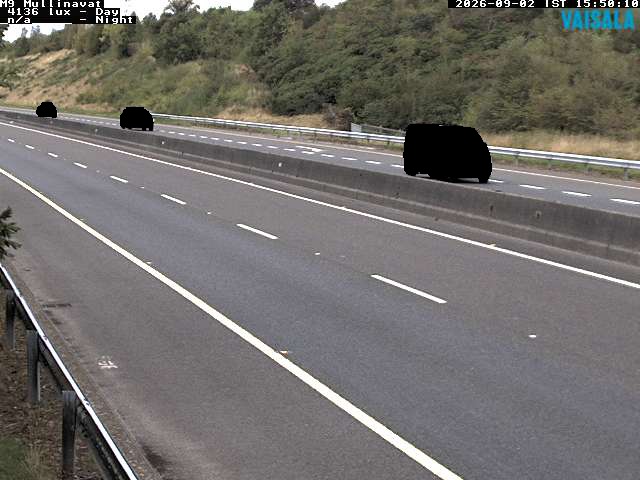
Webcams near Coppanagh

History around Coppanagh
Towns near Coppanagh
- Kilkenny19 km away
- Waterford32 km away
- Carlow34 km away
- Wexford46 km away
- Cluain Meala49 km away
- Portlaoise58 km away