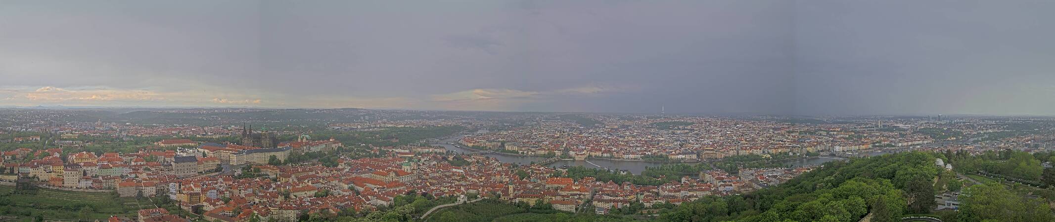
Děd
492 m1,614 ft
Mountain · Czechia
Der Děd ist ein Berg in Tschechien. Er liegt drei Kilometer westlich des Stadtzentrums von Beroun und ist Teil der Křivoklátská vrchovina. Auf seinem Gipfel befindet sich seit 1893 ein steinerner Aussichtsturm. Es war der erste Aussichtsturm des Klubs českých turistů - KČT, der erst 5 Jahre früher gegründet worden war.
From German Wikipedia, CC BY-SA · Read the article
At the summit · forecast for 9:00 AM
6 °CPartly cloudy · wind 9 km/h from the S
 See it in 3D
Weather at the summit of Děd, 492 m
- 9:00 AM6 °CS 9 km/h–
- 12:00 PM12 °CSE 9 km/h–
- 3:00 PM12 °CSE 12 km/h–
- 6:00 PM7 °CSE 9 km/h–
- 9:00 PM5 °CSE 10 km/h–
- 12:00 AM4 °CSE 10 km/h–
- 3:00 AM2 °CSW 4 km/h–
- 6:00 AM1 °CW 6 km/h–
| Day | Sky | High / low | Rain | Wind up to |
|---|---|---|---|---|
| Today | Clear | 13 °C / 4 °C | – | 12 km/h |
| Wed, Oct 28 | Cloudy | 12 °C / 1 °C | 3.1 mm | 13 km/h |
| Thu, Oct 29 | Mostly clear | 11 °C / 4 °C | – | 12 km/h |
| Fri, Oct 30 | Cloudy | 10 °C / 2 °C | 0.1 mm | 8 km/h |
| Sat, Oct 31 | Cloudy | 9 °C / 5 °C | – | 10 km/h |
| Sun, Nov 1 | Partly cloudy | 9 °C / 1 °C | – | 5 km/h |
| Mon, Nov 2 | Clear | 9 °C / 2 °C | – | 12 km/h |
Forecast by MET Norway (CC BY 4.0), updated 06:20 AM GMT+1. Times are local.
Facts
- What it is
- Mountain
- Height above sea level
- 492 m (1,614 ft)
- Prominence
- 130 m (427 ft)
- Isolation
- 5.6 km to higher ground
- Country
- Czechia
- Coordinates
- 49.968°N 14.034°E
- Source
- Wikidata, CC0
Děd
Berg in Tschechien
Der Děd ist ein Berg in Tschechien. Er liegt drei Kilometer westlich des Stadtzentrums von Beroun und ist Teil der Křivoklátská vrchovina. Auf seinem Gipfel befindet sich seit 1893 ein steinerner Aussichtsturm. Es war der erste Aussichtsturm des Klubs českých turistů - KČT, der erst 5 Jahre früher gegründet worden war. Sein Name bedeutet „Großvater“, „Greis“ oder „Alter“ (Mann).
From German Wikipedia, CC BY-SA · Read the article
Peaks near Děd
- Bílá hora381 m · 24 km awayOn the map
- Petřín331 m · 29 km awayOn the map
- Letná265 m · 31 km awayOn the map
- Vítkov271 m · 33 km awayOn the map
- Vrch sv. Kříže276 m · 33 km awayOn the map
- Vršíček436 m · 41 km awayOn the map
- Říp Mountain461 m · 50 km awayOn the map
- Městská hora290 m · 2.2 km awayOn the map
- Damil396 m · 4.5 km awayOn the map
- Krušná hora609 m · 7.5 km awayOn the map
Highest mountains in Czechia
- Sněžka1,603 mOn the map
- Wielki Szyszak1,510 mOn the map
- Praděd1,491 mOn the map
- Smogornia1,490 mOn the map
- Mały Szyszak1,440 mOn the map
- Keprník1,423 mOn the map
- Králický Sněžník1,423 mOn the map
- Plechý / Plöckenstein1,379 mOn the map
- Bayerischer Plöckenstein1,362 mOn the map
- Boubín1,362 mOn the map