Mountains in United States
Devils Head
9,749 ft2,972 m
Mountain · Front Range · United States
Devils Head is a mountain summit in the Rampart Range of the Rocky Mountains of Colorado. The 9,749-foot (2,971 m) peak is located in Pike National Forest, 14.2 miles (22.9 km) southwest by south of the community of Sedalia in Douglas County, Colorado, United States.
From Wikipedia, CC BY-SA · Read the article
At the summit · forecast for 5:00 PM
47 °FClear · wind 9 mph from the N
 See it in 3D
Weather at the summit of Devils Head, 9,749 ft
- 5:00 PM47 °FN 9 mph–
- 8:00 PM32 °FSW 4 mph–
- 11:00 PM30 °FS 10 mph–
- 2:00 AM31 °FSW 11 mph–
- 5:00 AM29 °FSW 10 mph–
- 8:00 AM29 °FSW 10 mph–
- 11:00 AM48 °FS 10 mph–
- 2:00 PM55 °FSW 11 mph–
| Day | Sky | High / low | Rain | Wind up to |
|---|---|---|---|---|
| Tue, Oct 27 | Clear | 55 °F / 28 °F | – | 11 mph |
| Wed, Oct 28 | Clear | 53 °F / 30 °F | – | 13 mph |
| Thu, Oct 29 | Cloudy | 51 °F / 28 °F | – | 9 mph |
| Fri, Oct 30 | Partly cloudy | 53 °F / 30 °F | – | 7 mph |
| Sat, Oct 31 | Mostly clear | 42 °F / 29 °F | 0.03 in | 5 mph |
| Sun, Nov 1 | Cloudy | 47 °F / 30 °F | 0.14 in | 8 mph |
| Mon, Nov 2 | Cloudy | 31 °F / 15 °F | 0.33 in | 7 mph |
Forecast by MET Norway (CC BY 4.0), updated 01:17 PM MDT. Times are local.
Facts
- What it is
- Mountain
- Height above sea level
- 9,749 ft (2,972 m)
- Prominence
- 1,248 ft (380 m)
- Range
- Front Range
- Country
- United States
- Coordinates
- 39.260°N 105.101°W
- Source
- Wikidata, CC0
Peaks near Devils Head
- Long Scraggy Peak8,796 ft · 13 km awayOn the map
- Green Mountain10,427 ft · 18 km awayOn the map
- Buffalo Peak11,594 ft · 23 km awayOn the map
- McCurdy Mountain12,172 ft · 32 km awayOn the map
- Bison Peak12,432 ft · 34 km awayOn the map
- Mount Bailey9,089 ft · 35 km awayOn the map
- Berrian Mountain9,151 ft · 37 km awayOn the map
- Blodgett Peak9,426 ft · 37 km awayOn the map
- Badger Mountain11,295 ft · 43 km awayOn the map
- Shawnee Peak11,932 ft · 45 km awayOn the map
Highest in the Front Range
- Grays Peak14,272 ftOn the map
- Mount Blue Sky14,265 ftOn the map
- Longs Peak14,255 ftOn the map
- Pikes Peak14,114 ftOn the map
- Mount Bierstadt14,062 ftOn the map
- Mount Silverheels13,829 ftOn the map
- Bard Peak13,647 ftOn the map
- North Arapaho Peak13,508 ftOn the map
- Devils Head9,749 ftOn the map
Highest mountains in United States
- Denali20,308 ftOn the map
- Mount Saint Elias18,009 ftOn the map
- Mount Foraker17,402 ftOn the map
- Mount Bona16,535 ftOn the map
- Mount Blackburn16,390 ftOn the map
- Mount Sanford16,237 ftOn the map
- Mount Vancouver15,787 ftOn the map
- Mount Churchill15,636 ftOn the map
- Mount Fairweather15,325 ftOn the map
- Mount Hubbard14,951 ftOn the map
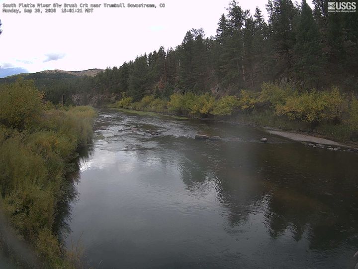
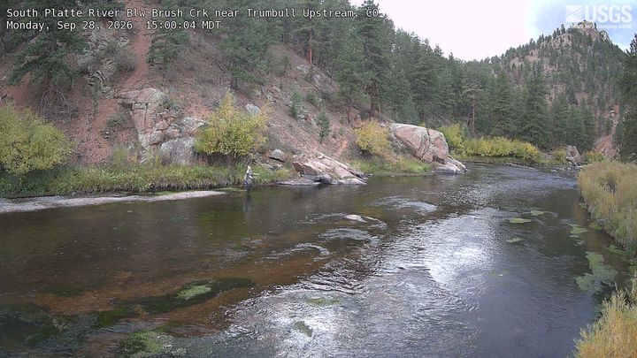
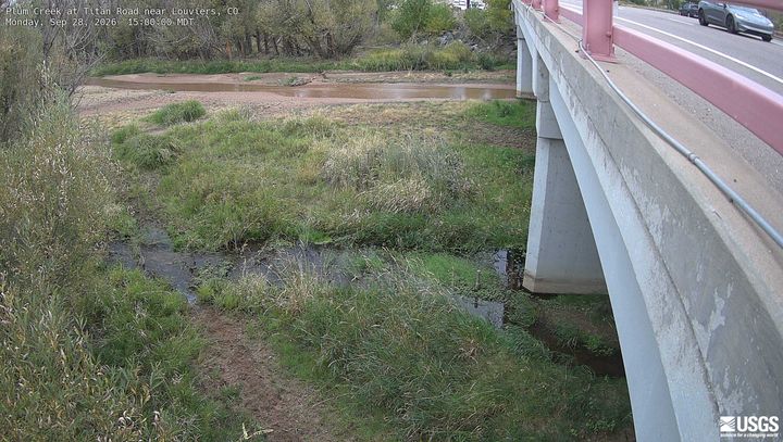
Webcams near Devils Head

Towns near Devils Head
- Castle Rock24 km away
- Castle Pines30 km away
- Monument30 km away
- Highlands Ranch35 km away
- Ken Caryl35 km away
- Lone Tree36 km away