Mountains
See it in 3DDittmar Volcano
Mountain
Dittmar Volcano, located on the border of Shasta, Lassen, and Tehama counties in California, is an extinct stratovolcano in the Cascade Range.
From Wikipedia, CC BY-SA · Read the article
At the summit · forecast for 1:00 PM
10 °CClear · wind 7 km/h from the SW
Dittmar Volcano weather forecast
- 1:00 PM10 °CSW 7 km/h–
- 4:00 PM10 °CSW 9 km/h–
- 7:00 PM2 °CNW 4 km/h–
- 10:00 PM1 °CSW 6 km/h–
- 1:00 AM1 °CSW 6 km/h–
- 4:00 AM1 °CSW 7 km/h–
- 7:00 AM2 °CSW 5 km/h–
- 10:00 AM7 °CS 5 km/h–
| Day | Sky | High / low | Rain | Wind up to |
|---|---|---|---|---|
| Thu, Oct 29 | Cloudy | 9 °C / -0 °C | – | 13 km/h |
| Fri, Oct 30 | Partly cloudy | 7 °C / -1 °C | – | 20 km/h |
| Sat, Oct 31 | Sleet | 2 °C / -4 °C | 7.7 mm | 12 km/h |
| Sun, Nov 1 | Partly cloudy | 1 °C / -5 °C | – | 12 km/h |
| Mon, Nov 2 | Cloudy | 6 °C / -4 °C | – | 5 km/h |
| Tue, Nov 3 | Partly cloudy | 12 °C / 0 °C | – | 3 km/h |
| Wed, Nov 4 | Cloudy | 12 °C / 4 °C | – | 13 km/h |
Forecast by MET Norway (CC BY 4.0), updated 10:19 AM PDT. Times are local.
Facts
- What it is
- Mountain
- Coordinates
- 40.453°N 121.347°W
- Source
- Wikidata, CC0
Peaks near Dittmar Volcano
- Cinder Cone and the Fantastic Lava Beds6,907 ft · 11 km awayOn the map
- Bumpass Mountain8,757 ft · 13 km awayOn the map
- Lassen Peak10,463 ft · 14 km awayOn the map
- Chaos Crags8,123 ft · 17 km awayOn the map
- Mount Tehama9,239 ft · 18 km awayOn the map
- Twin Buttes5,340 ft · 42 km awayOn the map
- Big Cave4,131 ft · 56 km awayOn the map
- Mount HarknessMountain · 4.6 km awayOn the map
- Hat Mountain7,693 ft · 8.3 km awayOn the map
- Mount Helen8,842 ft · 13 km awayOn the map
Webcams near Dittmar Volcano
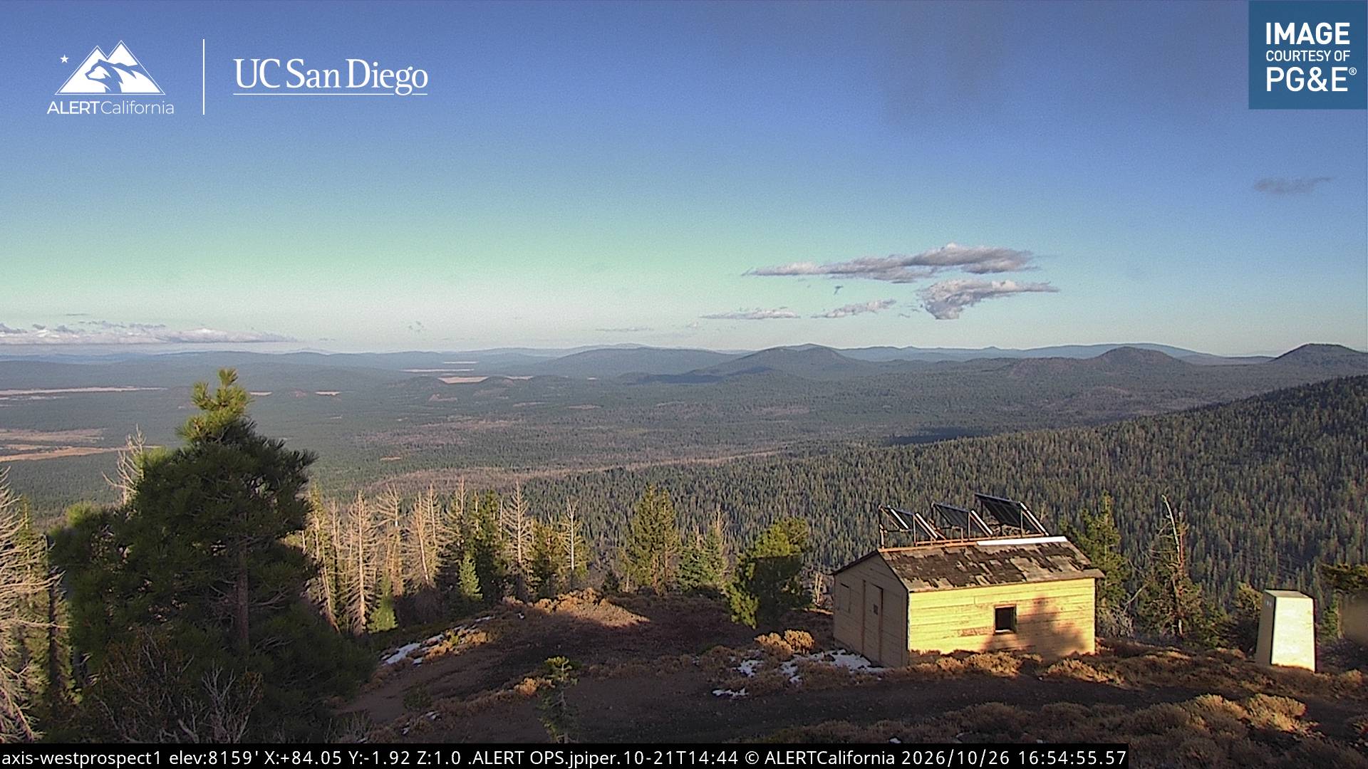

Towns near Dittmar Volcano
- Susanville59 km away