Mountains in Germany
Drachenberg
99 m325 ft
Mountain · Germany
Der Drachenberg, auch Drachenfliegerberg oder Kleiner Teufelsberg genannt, ist eine 99 m ü. NHN hohe Erhebung im Bezirk Charlottenburg-Wilmersdorf in Berlin. Er liegt im Ortsteil Grunewald, südlich der Heerstraße und etwa 700 m nordöstlich des Teufelsbergs.
From German Wikipedia, CC BY-SA · Read the article
At the summit · forecast for 5:00 AM
7 °CCloudy · wind 5 km/h from the S
 See it in 3D
Weather at the summit of Drachenberg, 99 m
- 5:00 AM7 °CS 5 km/h–
- 8:00 AM10 °CNW 10 km/h0.1 mm
- 11:00 AM13 °CNW 14 km/h–
- 2:00 PM14 °CNW 13 km/h–
- 5:00 PM11 °CNW 9 km/h–
- 8:00 PM8 °CW 9 km/h–
- 11:00 PM7 °CW 9 km/h–
- 2:00 AM6 °CW 7 km/h–
| Day | Sky | High / low | Rain | Wind up to |
|---|---|---|---|---|
| Today | Partly cloudy | 14 °C / 7 °C | 0.1 mm | 14 km/h |
| Thu, Oct 29 | Cloudy | 13 °C / 5 °C | 0.1 mm | 10 km/h |
| Fri, Oct 30 | Cloudy | 12 °C / 7 °C | 0.1 mm | 7 km/h |
| Sat, Oct 31 | Partly cloudy | 11 °C / 9 °C | 0.4 mm | 11 km/h |
| Sun, Nov 1 | Partly cloudy | 9 °C / 8 °C | 1.1 mm | 4 km/h |
| Mon, Nov 2 | Partly cloudy | 11 °C / 8 °C | 2.3 mm | 15 km/h |
| Tue, Nov 3 | Partly cloudy | 12 °C / 6 °C | 0.2 mm | 16 km/h |
Forecast by MET Norway (CC BY 4.0), updated 08:17 PM GMT+1. Times are local.
Facts
- What it is
- Mountain
- Height above sea level
- 99 m (325 ft)
- Country
- Germany
- Coordinates
- 52.503°N 13.248°E
- Source
- Wikidata, CC0
Peaks near Drachenberg
- Teufelsberg120 m · 0.7 km awayOn the map
- Kreuzberg66 m · 9.2 km awayOn the map
- Humboldthöhe85 m · 10 km awayOn the map
- Rixdorfer Höhe68 m · 11 km awayOn the map
- Volkspark Prenzlauer Berg91 m · 15 km awayOn the map
- Pfingstberg76 m · 16 km awayOn the map
- Ruinenberg74 m · 18 km awayOn the map
- Telegrafenberg94 m · 18 km awayOn the map
- Arkenberge121 m · 19 km awayOn the map
- Mathiasberg50 m · 19 km awayOn the map
Highest mountains in Germany
- Zugspitze2,962 mOn the map
- Hochwanner2,744 mOn the map
- Dreitorspitze2,682 mOn the map
- Hochkalter2,607 mOn the map
- Biberkopf2,599 mOn the map
- Großer Hundstod2,594 mOn the map
- Hochvogel2,592 mOn the map
- Östliche Karwendelspitze2,538 mOn the map
- Hocheisspitze2,523 mOn the map
- Hoher Göll2,522 mOn the map
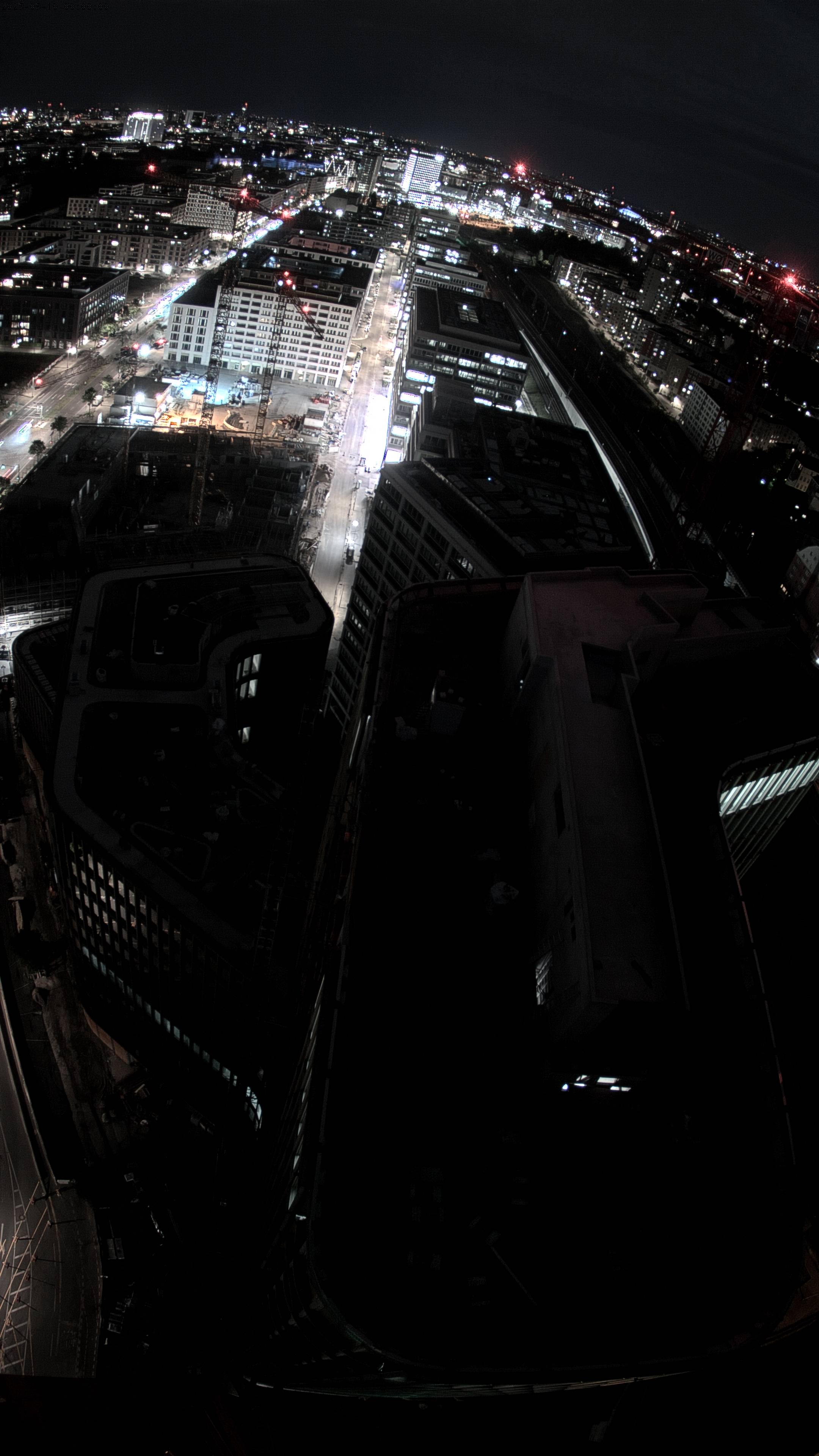
Webcams near Drachenberg


History around Drachenberg
- The 2006 FIFA World Cup takes place in Germany; Italy defeats France in the final2006
- Reichstag fire: Germany's parliament building in Berlin, the Reichstag building, is set on fire under controversial circumstances1933
- Potsdam Conference1945
- Battle of Berlin1945
- Tripartite Pact1940
- Kristallnacht1938
- German Revolution of 1918–19191918
- Berlin truck attack: A truck is deliberately driven into the Christmas market next to the Kaiser Wilhelm Memorial Church at Breitscheidplatz in Berlin2016
Towns near Drachenberg
- Kleinmachnow11 km away
- Teltow11 km away
- Berlin11 km away
- Falkensee12 km away
- Hennigsdorf15 km away
- Potsdam17 km away