 See it in 3D
Facts
- What it is
- Mountain
- Height above sea level
- 6,247 ft (1,904 m)
- Range
- Olympic Mountains
- Country
- United States
- Coordinates
- 47.939°N 123.409°W
- Source
- Wikidata, CC0
Peaks near Eagle Point
- Obstruction Peak6,450 ft · 2.8 km awayOn the map
- Mount Angeles6,454 ft · 7.6 km awayOn the map
- Mount Cameron7,192 ft · 14 km awayOn the map
- Lost Peak6,516 ft · 15 km awayOn the map
- Mount Claywood6,837 ft · 16 km awayOn the map
- Mount Fromme6,706 ft · 17 km awayOn the map
- Mount Fitzhenry6,043 ft · 17 km awayOn the map
- Mount Fairchild6,916 ft · 17 km awayOn the map
- Mount Dana6,213 ft · 17 km awayOn the map
- Mount Clark7,530 ft · 18 km awayOn the map
Highest in the Olympic Mountains
- Mount Olympus7,979 ftOn the map
- Mount Deception7,788 ftOn the map
- Mount Constance7,756 ftOn the map
- Gray Wolf Ridge7,218 ftOn the map
- Mount Cameron7,192 ftOn the map
- Mount Mathias7,146 ftOn the map
- Mount Carrie6,995 ftOn the map
- Buckhorn Mountain6,988 ftOn the map
- Eagle Point6,247 ftOn the map
Highest mountains in United States
- Denali20,308 ftOn the map
- Mount Saint Elias18,009 ftOn the map
- Mount Foraker17,402 ftOn the map
- Mount Bona16,535 ftOn the map
- Mount Blackburn16,390 ftOn the map
- Mount Sanford16,237 ftOn the map
- Mount Vancouver15,787 ftOn the map
- Mount Churchill15,636 ftOn the map
- Mount Fairweather15,325 ftOn the map
- Mount Hubbard14,951 ftOn the map
Webcams near Eagle Point

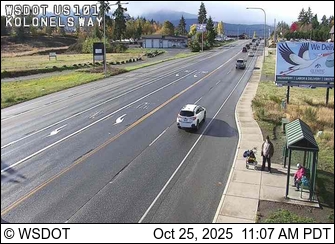

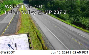

Towns near Eagle Point
- Port Angeles20 km away
- Sequim28 km away
- Port Townsend50 km away
- Sooke54 km away
- Colwood55 km away
- Esquimalt55 km away