Mountains in Germany
Eichholzkopf
610 m2,001 ft
Mountain · Rothaar Mountains · Germany
Eichholzkopf is a mountain of Hesse, Germany. At an elevation of 610m, its peak is located near the local center Rittershausen, which is part of the municipality Dietzhölztal.
From Wikipedia, CC BY-SA · Read the article
 See it in 3D
Facts
- What it is
- Mountain
- Height above sea level
- 610 m (2,001 ft)
- Range
- Rothaar Mountains
- Country
- Germany
- Coordinates
- 50.853°N 8.290°E
- Source
- Wikidata, CC0
Peaks near Eichholzkopf
- Tiefenrother Höhe552 m · 9.1 km awayOn the map
- Kalteiche580 m · 12 km awayOn the map
- Schwarzenberg561 m · 15 km awayOn the map
- Nimerich533 m · 16 km awayOn the map
- Hornberg451 m · 19 km awayOn the map
- Schweinskopf473 m · 20 km awayOn the map
- Sackpfeife673 m · 21 km awayOn the map
- Arennest592 m · 22 km awayOn the map
- Rahnsberg561 m · 22 km awayOn the map
- Bartenstein614 m · 22 km awayOn the map
Highest in the Rothaar Mountains
- Langenberg844 mOn the map
- Clemensberg837 mOn the map
- Hopperkopf832 mOn the map
- Hoher Eimberg806 mOn the map
- Nordhelle792 mOn the map
- Reets-Berg792 mOn the map
- Öhrenstein792 mOn the map
- Albrechts-Berg771 mOn the map
- Eichholzkopf610 mOn the map
Highest mountains in Germany
- Zugspitze2,962 mOn the map
- Hochwanner2,744 mOn the map
- Dreitorspitze2,682 mOn the map
- Hochkalter2,607 mOn the map
- Biberkopf2,599 mOn the map
- Großer Hundstod2,594 mOn the map
- Hochvogel2,592 mOn the map
- Östliche Karwendelspitze2,538 mOn the map
- Hocheisspitze2,523 mOn the map
- Hoher Göll2,522 mOn the map
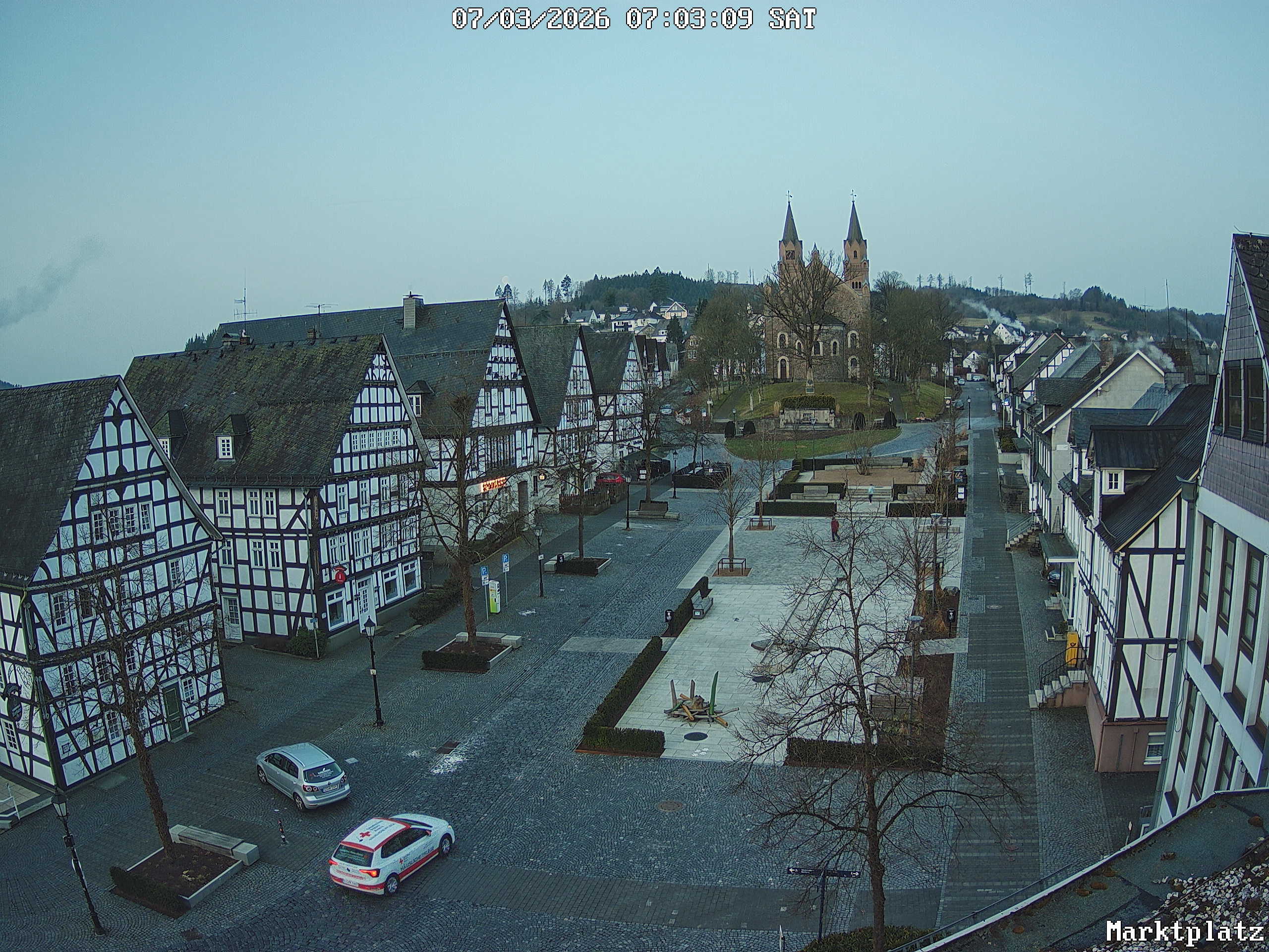
Webcams near Eichholzkopf




History around Eichholzkopf
Towns near Eichholzkopf
- Dillenburg12 km away
- Bad Laasphe13 km away
- Haiger14 km away
- Wilnsdorf14 km away
- Netphen15 km away
- Siegen19 km away