Mountains in China
Finger Hill
95 m312 ft
Hill · China
At the summit · forecast for 7:00 AM
24 °CMostly clear · wind 17 km/h from the N
 See it in 3D

Weather at the summit of Finger Hill, 95 m
- 7:00 AM24 °CN 17 km/h–
- 10:00 AM27 °CNE 23 km/h–
- 1:00 PM29 °CE 23 km/h0.2 mm
- 4:00 PM28 °CE 23 km/h–
- 7:00 PM26 °CE 23 km/h–
- 10:00 PM26 °CE 25 km/h0.1 mm
- 1:00 AM24 °CE 31 km/h0.3 mm
- 4:00 AM24 °CE 36 km/h–
| Day | Sky | High / low | Rain | Wind up to |
|---|---|---|---|---|
| Today | Partly cloudy | 29 °C / 24 °C | 0.2 mm | 26 km/h |
| Wed, Oct 28 | Clear | 28 °C / 24 °C | 0.4 mm | 38 km/h |
| Thu, Oct 29 | Clear | 28 °C / 23 °C | – | 34 km/h |
| Fri, Oct 30 | Clear | 29 °C / 24 °C | – | 18 km/h |
| Sat, Oct 31 | Mostly clear | 28 °C / 25 °C | – | 16 km/h |
| Sun, Nov 1 | Clear | 29 °C / 25 °C | 0.5 mm | 15 km/h |
| Mon, Nov 2 | Clear | 31 °C / 25 °C | 0.2 mm | 10 km/h |
Forecast by MET Norway (CC BY 4.0), updated 07:19 AM GMT+8. Times are local.
Facts
- What it is
- Hill
- Height above sea level
- 95 m (312 ft)
- Country
- China
- Coordinates
- 22.284°N 114.044°E
- Source
- Wikidata, CC0
Peaks near Finger Hill
- Lin Fa Shan766 m · 7.5 km awayOn the map
- Yi Tung Shan747 m · 8.4 km awayOn the map
- Por Kai Shan529 m · 8.6 km awayOn the map
- Pok To Yan529 m · 9.1 km awayOn the map
- Lung Fu Shan253 m · 9.4 km awayOn the map
- Sunset Peak869 m · 9.5 km awayOn the map
- Victoria Peak552 m · 10 km awayOn the map
- Kau Keng Shan507 m · 13 km awayOn the map
- Lantau Peak934 m · 14 km awayOn the map
- Nei Lak Shan751 m · 14 km awayOn the map
Highest mountains in China
- Mount Everest8,849 mOn the map
- Lhotse8,516 mOn the map
- Makalu8,485 mOn the map
- Cho Oyu8,188 mOn the map
- Gasherbrum8,080 mOn the map
- Broad Peak8,051 mOn the map
- Gasherbrum II8,034 mOn the map
- Shishapangma8,027 mOn the map
- Gyachung Kang7,952 mOn the map
- Gasherbrum III7,946 mOn the map
Webcams near Finger Hill
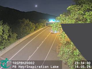 Penny's Bay Highway near Inspiration Lake Recreation Centre - Northbound4.6 km from the summit
 Penny's Bay Highway4.7 km from the summit
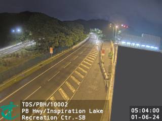 Penny's Bay Highway near Inspiration Lake Recreation Centre - Southbound4.7 km from the summit
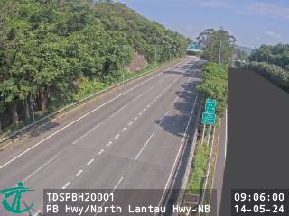 Penny's Bay Highway near North Lantau Highway - Northbound5.1 km from the summit
History around Finger Hill
Towns near Finger Hill
- Discovery Bay3.3 km away
- Mount Davis7.6 km away
- Cheung Chau8.3 km away
- Kennedy Town8.8 km away
- Pok Fu Lam8.9 km away
- Sham Tseng9.2 km away