 See it in 3D
Facts
- What it is
- Hill
- Height above sea level
- 561 m (1,841 ft)
- Range
- Western Graz Highlands
- Country
- Austria
- Coordinates
- 47.092°N 15.371°E
- Source
- Wikidata, CC0
Peaks near Frauenkogel
- Fürstenstand754 m · 1.1 km awayOn the map
- Plabutsch754 m · 1.1 km awayOn the map
- Steinkogel742 m · 1.7 km awayOn the map
- Frauenkogel683 m · 2.3 km awayOn the map
- Hubertushöhe562 m · 2.4 km awayOn the map
- Kanzelkogel608 m · 2.9 km awayOn the map
- Admonter Kogel566 m · 3.2 km awayOn the map
- Generalkogel713 m · 3.6 km awayOn the map
- Reinerkogel500 m · 4.7 km awayOn the map
- Schlossberg474 m · 5.3 km awayOn the map
Highest in the Western Graz Highlands
- Hirtlkogel961 mOn the map
- Hochstein925 mOn the map
- Hochkogel794 mOn the map
- Knobelberg790 mOn the map
- Steinkogel742 mOn the map
- Pfaffenkogel734 mOn the map
- Generalkogel713 mOn the map
- Kugelstein633 mOn the map
- Frauenkogel561 mOn the map
Highest mountains in Austria
- Grossglockner3,798 mOn the map
- Wildspitze3,768 mOn the map
- Weißkugel3,738 mOn the map
- Großvenediger3,657 mOn the map
- Hintere Schwärze3,624 mOn the map
- Großes Wiesbachhorn3,564 mOn the map
- Ramolkogel3,549 mOn the map
- Schalfkogel3,537 mOn the map
- Watzespitze3,532 mOn the map
- Fineilspitze3,514 mOn the map
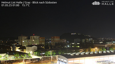
Webcams near Frauenkogel

History around Frauenkogel
Towns near Frauenkogel
- Graz6.1 km away
- Wolfsberg49 km away
- Maribor63 km away
- Eisenzicken70 km away