Mountains in Germany
Galgenberg bei Wellheim
440 m1,444 ft
Mountain · Franconian Jura · Germany
At the summit · forecast for 2:00 AM
5 °CPartly cloudy · wind 7 km/h from the W
 See it in 3D
Weather at the summit of Galgenberg bei Wellheim, 440 m
- 2:00 AM5 °CW 7 km/h–
- 5:00 AM7 °CW 12 km/h–
- 8:00 AM10 °CW 11 km/h0.3 mm
- 11:00 AM11 °CNW 17 km/h0.1 mm
- 2:00 PM12 °CNW 15 km/h–
- 5:00 PM9 °CNW 8 km/h–
- 8:00 PM7 °CNW 10 km/h–
- 11:00 PM5 °CNW 8 km/h–
| Day | Sky | High / low | Rain | Wind up to |
|---|---|---|---|---|
| Today | Cloudy | 12 °C / 5 °C | 0.4 mm | 18 km/h |
| Thu, Oct 29 | Mostly clear | 11 °C / 2 °C | – | 10 km/h |
| Fri, Oct 30 | Clear | 11 °C / 2 °C | – | 13 km/h |
| Sat, Oct 31 | Partly cloudy | 10 °C / 2 °C | – | 7 km/h |
| Sun, Nov 1 | Cloudy | 9 °C / 2 °C | 0.1 mm | 8 km/h |
| Mon, Nov 2 | Cloudy | 7 °C / 5 °C | 1.1 mm | 12 km/h |
| Tue, Nov 3 | Cloudy | 8 °C / 3 °C | 0.9 mm | 13 km/h |
Forecast by MET Norway (CC BY 4.0), updated 12:18 AM GMT+1. Times are local.
Facts
- What it is
- Mountain
- Height above sea level
- 440 m (1,444 ft)
- Range
- Franconian Jura
- Country
- Germany
- Coordinates
- 48.826°N 11.095°E
- Source
- Wikidata, CC0
Peaks near Galgenberg bei Wellheim
- Hühnerberg570 m · 32 km awayOn the map
- Dürrenberg656 m · 32 km awayOn the map
- Gelber Berg628 m · 34 km awayOn the map
- Arzberg510 m · 37 km awayOn the map
- Hesselberg689 m · 50 km awayOn the map
- Stauffersberg574 m · 51 km awayOn the map
- Buchberg591 m · 52 km awayOn the map
- Göschberg621 m · 53 km awayOn the map
- Ipf668 m · 54 km awayOn the map
- Dillberg595 m · 59 km awayOn the map
Highest in the Franconian Jura
- Laubbichel636 mOn the map
- Steinbühl632 mOn the map
- Gehäubichel631 mOn the map
- Kleiner Kulm627 mOn the map
- Auf der Ebene625 mOn the map
- Steinberg625 mOn the map
- Göschberg621 mOn the map
- Kirschbühl615 mOn the map
- Galgenberg bei Wellheim440 mOn the map
Highest mountains in Germany
- Zugspitze2,962 mOn the map
- Hochwanner2,744 mOn the map
- Dreitorspitze2,682 mOn the map
- Hochkalter2,607 mOn the map
- Biberkopf2,599 mOn the map
- Großer Hundstod2,594 mOn the map
- Hochvogel2,592 mOn the map
- Östliche Karwendelspitze2,538 mOn the map
- Hocheisspitze2,523 mOn the map
- Hoher Göll2,522 mOn the map
Webcams near Galgenberg bei Wellheim
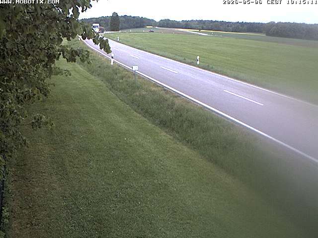

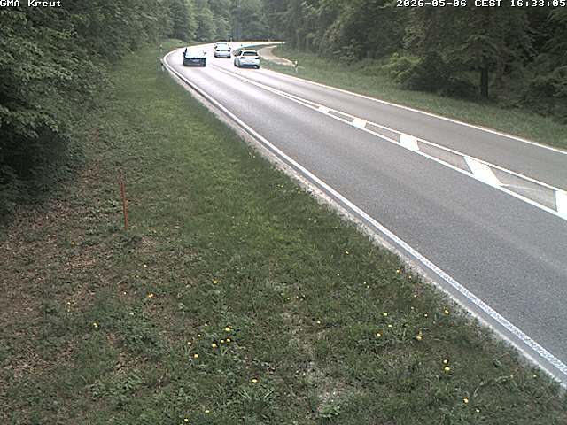

History around Galgenberg bei Wellheim
- Treaty of Ried1813
- Treaty of Neuberg1379
- Battle of Neuburg1800
- La Tour monument1800
Towns near Galgenberg bei Wellheim
- Neuburg an der Donau12 km away
- Weißenburg in Bayern24 km away
- Ingolstadt25 km away
- Donauwörth26 km away
- Schrobenhausen32 km away
- Gunzenhausen41 km away