 See it in 3D
Facts
- What it is
- Mountain
- Height above sea level
- 521 m (1,709 ft)
- Range
- Spessart
- Country
- Germany
- Coordinates
- 49.841°N 9.322°E
- Source
- Wikidata, CC0
Peaks near Geishöhe
- Hohe Warte572 m · 7.8 km awayOn the map
- Lärchhöhe573 m · 9.5 km awayOn the map
- Geiersberg586 m · 10 km awayOn the map
- Weickertshöhe546 m · 20 km awayOn the map
- Otzberg368 m · 30 km awayOn the map
- Schanzenkopf343 m · 30 km awayOn the map
- Hermannskoppe567 m · 33 km awayOn the map
- Morsberg517 m · 34 km awayOn the map
- Krähberg555 m · 36 km awayOn the map
- Kinzert553 m · 37 km awayOn the map
Highest in the Spessart
- Querberg567 mOn the map
- Hermannskoppe567 mOn the map
- Klosterkuppel553 mOn the map
- Weickertshöhe546 mOn the map
- Steckenlaubshöhe542 mOn the map
- Hoher Knuck539 mOn the map
- Sohlhöhe531 mOn the map
- Schindershöh522 mOn the map
- Geishöhe521 mOn the map
Highest mountains in Germany
- Zugspitze2,962 mOn the map
- Hochwanner2,744 mOn the map
- Dreitorspitze2,682 mOn the map
- Hochkalter2,607 mOn the map
- Biberkopf2,599 mOn the map
- Großer Hundstod2,594 mOn the map
- Hochvogel2,592 mOn the map
- Östliche Karwendelspitze2,538 mOn the map
- Hocheisspitze2,523 mOn the map
- Hoher Göll2,522 mOn the map
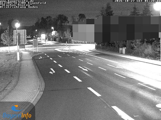
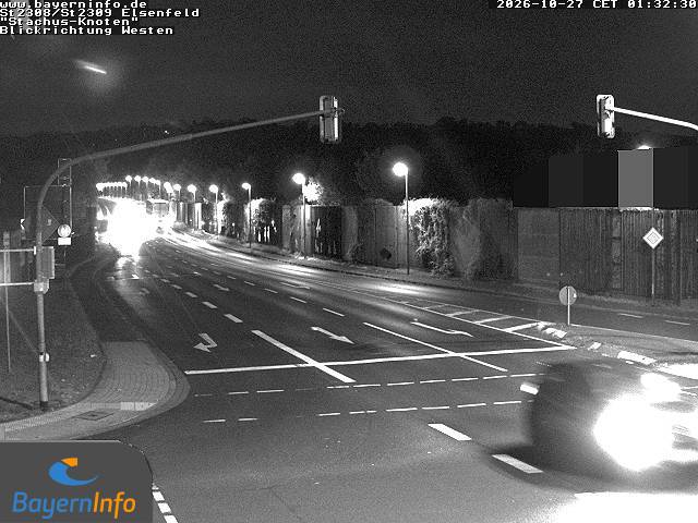
Webcams near Geishöhe



History around Geishöhe
Towns near Geishöhe
- Wertheim16 km away
- Aschaffenburg19 km away
- Großostheim20 km away
- Lohr am Main24 km away
- Groß-Umstadt28 km away
- Michelstadt29 km away