 See it in 3D
Facts
- What it is
- Mountain
- Height above sea level
- 1,871 m (6,138 ft)
- Range
- Totes Gebirge
- Country
- Austria
- Coordinates
- 47.669°N 13.785°E
- Source
- Wikidata, CC0
Peaks near Greimuth
- Loser1,837 m · 1.4 km awayOn the map
- Rotgschirr2,270 m · 16 km awayOn the map
- Großer Höllkogel1,862 m · 16 km awayOn the map
- Feuerkogel1,592 m · 17 km awayOn the map
- Spitzmauer2,446 m · 21 km awayOn the map
- Brunnkogel1,708 m · 21 km awayOn the map
- Großer Priel2,515 m · 21 km awayOn the map
- Traunstein1,691 m · 23 km awayOn the map
- Gamsfeld2,027 m · 23 km awayOn the map
- Gjaidstein2,794 m · 24 km awayOn the map
Highest in the Totes Gebirge
- Großer Hochkasten2,389 mOn the map
- Hebenkas2,285 mOn the map
- Plankamira2,178 mOn the map
- Kleiner Priel2,136 mOn the map
- Elm2,128 mOn the map
- Hirscheck2,068 mOn the map
- Lawinenstein1,965 mOn the map
- Fäustling1,919 mOn the map
- Greimuth1,871 mOn the map
Highest mountains in Austria
- Grossglockner3,798 mOn the map
- Wildspitze3,768 mOn the map
- Weißkugel3,738 mOn the map
- Großvenediger3,657 mOn the map
- Hintere Schwärze3,624 mOn the map
- Großes Wiesbachhorn3,564 mOn the map
- Ramolkogel3,549 mOn the map
- Schalfkogel3,537 mOn the map
- Watzespitze3,532 mOn the map
- Fineilspitze3,514 mOn the map
Webcams near Greimuth


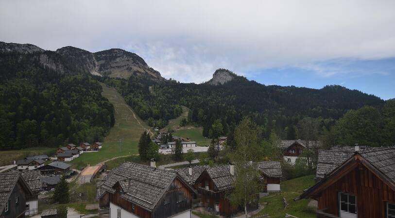
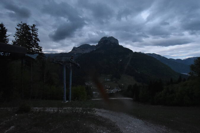

Towns near Greimuth
- Salzburg57 km away
- Wels58 km away
- Freilassing63 km away
- Steyr63 km away
- Bad Reichenhall68 km away
- Traun70 km away