Mountains in United States
See it in 3DHeckletooth Mountain
Mountain · United States
Heckletooth Mountain is a summit in Lane County, Oregon, in the United States with an elevation of 3,682 feet (1,122 m) NGVD 29. It is located just north of the Willamette Highway, in the Willamette National Forest.
From Wikipedia, CC BY-SA · Read the article
At the summit · forecast for 5:00 PM
41 °FRain · wind 4 mph from the NE
Heckletooth Mountain weather forecast
- 5:00 PM41 °FNE 4 mph0.02 in
- 8:00 PM41 °FSW 3 mph–
- 11:00 PM38 °FSW 4 mph–
- 2:00 AM35 °FS 6 mph–
- 5:00 AM37 °FS 6 mph–
- 8:00 AM38 °FS 6 mph–
- 11:00 AM43 °FSW 7 mph0.02 in
- 2:00 PM45 °FSW 8 mph0.03 in
| Day | Sky | High / low | Rain | Wind up to |
|---|---|---|---|---|
| Wed, Oct 28 | Light rain | 46 °F / 35 °F | 0.06 in | 8 mph |
| Thu, Oct 29 | Cloudy | 50 °F / 32 °F | – | 5 mph |
| Fri, Oct 30 | Mostly clear | 46 °F / 29 °F | 0.16 in | 4 mph |
| Sat, Oct 31 | Clear | 45 °F / 26 °F | 0.02 in | 6 mph |
| Sun, Nov 1 | Mostly clear | 46 °F / 31 °F | 0.01 in | 2 mph |
| Mon, Nov 2 | Clear | 60 °F / 30 °F | – | 2 mph |
| Tue, Nov 3 | Clear | 59 °F / 35 °F | – | 2 mph |
Forecast by MET Norway (CC BY 4.0), updated 04:18 PM PDT. Times are local.
Facts
- What it is
- Mountain
- Country
- United States
- Coordinates
- 43.741°N 122.369°W
- Source
- Wikidata, CC0
Peaks near Heckletooth Mountain
- Swastika Mountain4,197 ft · 20 km awayOn the map
- Waldo Mountain6,361 ft · 22 km awayOn the map
- Bohemia Mountain5,994 ft · 30 km awayOn the map
- Diamond Peak8,748 ft · 30 km awayOn the map
- Maiden Peak7,823 ft · 35 km awayOn the map
- Williamson Mountain6,304 ft · 48 km awayOn the map
- Cinnamon Butte6,427 ft · 59 km awayOn the map
- Tufti MountainMountain · 7.7 km awayOn the map
- Mount David DouglasMountain · 19 km awayOn the map
- Davis Lake volcanic fieldVolcano · 49 km awayOn the map
Highest mountains in United States
- Denali20,308 ftOn the map
- Mount Saint Elias18,009 ftOn the map
- Mount Foraker17,402 ftOn the map
- Mount Bona16,535 ftOn the map
- Mount Blackburn16,390 ftOn the map
- Mount Sanford16,237 ftOn the map
- Mount Vancouver15,787 ftOn the map
- Mount Churchill15,636 ftOn the map
- Mount Fairweather15,325 ftOn the map
- Mount Hubbard14,951 ftOn the map
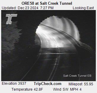
Webcams near Heckletooth Mountain

History around Heckletooth Mountain
- Cedar Creek Fire2022
Towns near Heckletooth Mountain
- Springfield62 km away
- Eugene67 km away