Mountains in Germany
Heisteig
649 m2,129 ft
Mountain · Germany
Heisteig ist der Name eines bewaldeten Höhenzugs zwischen Wiedergeltingen und Weicht in den bayerischen Landkreisen Ostallgäu und Unterallgäu. Mit Heisteig wird auch der genau über den Höhenzug verlaufende Weg bezeichnet.
From German Wikipedia, CC BY-SA · Read the article
At the summit · forecast for 1:00 PM
16 °CClear · wind 9 km/h from the E
 See it in 3D
Weather at the summit of Heisteig, 649 m
- 1:00 PM16 °CE 9 km/h–
- 4:00 PM15 °CE 5 km/h–
- 7:00 PM9 °CS 7 km/h–
- 10:00 PM9 °CSW 12 km/h–
- 1:00 AM10 °CW 16 km/h–
- 4:00 AM10 °CSW 15 km/h–
- 7:00 AM10 °CW 14 km/h0.7 mm
- 10:00 AM10 °CNW 15 km/h1 mm
| Day | Sky | High / low | Rain | Wind up to |
|---|---|---|---|---|
| Wed, Oct 28 | Cloudy | 11 °C / 4 °C | 1.7 mm | 17 km/h |
| Thu, Oct 29 | Partly cloudy | 10 °C / 2 °C | – | 16 km/h |
| Fri, Oct 30 | Clear | 9 °C / 4 °C | – | 13 km/h |
| Sat, Oct 31 | Partly cloudy | 9 °C / 3 °C | – | 13 km/h |
| Sun, Nov 1 | Mostly clear | 9 °C / 3 °C | – | 9 km/h |
| Mon, Nov 2 | Cloudy | 7 °C / 1 °C | – | 10 km/h |
| Tue, Nov 3 | Cloudy | 5 °C / 0 °C | 0.1 mm | 6 km/h |
Forecast by MET Norway (CC BY 4.0), updated 10:22 AM GMT+1. Times are local.
Facts
- What it is
- Mountain
- Height above sea level
- 649 m (2,129 ft)
- Country
- Germany
- Coordinates
- 48.022°N 10.667°E
- Source
- Wikidata, CC0
Peaks near Heisteig
- Ursersberg1,129 m · 50 km awayOn the map
- Reuterwanne1,539 m · 50 km awayOn the map
- Salober1,293 m · 51 km awayOn the map
- Tegelberg1,881 m · 52 km awayOn the map
- Klammspitze1,924 m · 52 km awayOn the map
- Geiselstein1,884 m · 53 km awayOn the map
- Breitenberg1,838 m · 53 km awayOn the map
- Ammergauer Hochplatte2,082 m · 54 km awayOn the map
- Teufelstättkopf1,758 m · 54 km awayOn the map
- Osterseen591 m · 54 km awayOn the map
Highest mountains in Germany
- Zugspitze2,962 mOn the map
- Hochwanner2,744 mOn the map
- Dreitorspitze2,682 mOn the map
- Hochkalter2,607 mOn the map
- Biberkopf2,599 mOn the map
- Großer Hundstod2,594 mOn the map
- Hochvogel2,592 mOn the map
- Östliche Karwendelspitze2,538 mOn the map
- Hocheisspitze2,523 mOn the map
- Hoher Göll2,522 mOn the map
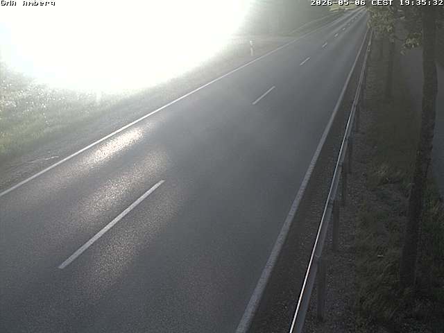
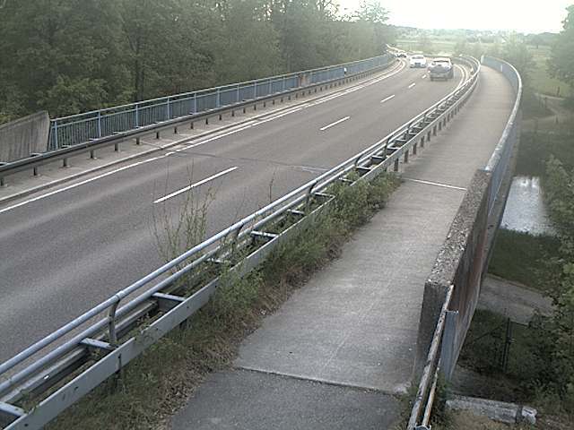
Webcams near Heisteig
History around Heisteig
Towns near Heisteig
- Kaufbeuren16 km away
- Landsberg am Lech16 km away
- Marktoberdorf27 km away
- Bobingen30 km away
- Königsbrunn33 km away
- Memmingen36 km away