Mountains in Belgium
See it in 3Dhill-2027839
Hill · Belgium
At the summit · forecast for 5:00 AM
7 °CClear · wind 10 km/h from the SW
hill-2027839 weather forecast
- 5:00 AM7 °CSW 10 km/h–
- 8:00 AM6 °CSW 11 km/h–
- 11:00 AM11 °CW 12 km/h–
- 2:00 PM13 °CW 13 km/h–
- 5:00 PM10 °CSW 5 km/h–
- 8:00 PM8 °CS 7 km/h–
- 11:00 PM7 °CSW 9 km/h–
- 2:00 AM6 °CS 7 km/h–
| Day | Sky | High / low | Rain | Wind up to |
|---|---|---|---|---|
| Today | Mostly clear | 13 °C / 6 °C | – | 13 km/h |
| Thu, Oct 29 | Partly cloudy | 14 °C / 5 °C | – | 10 km/h |
| Fri, Oct 30 | Clear | 13 °C / 6 °C | – | 11 km/h |
| Sat, Oct 31 | Clear | 13 °C / 5 °C | – | 12 km/h |
| Sun, Nov 1 | Cloudy | 8 °C / 5 °C | – | 9 km/h |
| Mon, Nov 2 | Partly cloudy | 10 °C / 7 °C | 0.8 mm | 18 km/h |
| Tue, Nov 3 | Cloudy | 10 °C / 5 °C | 0.2 mm | 11 km/h |
Forecast by MET Norway (CC BY 4.0), updated 12:18 AM GMT+1. Times are local.
Facts
- What it is
- Hill
- Country
- Belgium
- Coordinates
- 50.490°N 5.056°E
- Source
- Wikidata, CC0
Peaks near hill-2027839
- Baraque de Fraiture652 m · 55 km awayOn the map
- Mount Saint Peter171 m · 57 km awayOn the map
- Côte de Peu d'EauHill · 3.7 km awayOn the map
- hill-4761281Hill · 4.8 km awayOn the map
- Côte de BohissauHill · 4.8 km awayOn the map
- hill-2202675Hill · 5.7 km awayOn the map
- île des BéguinesVolcano · 6.5 km awayOn the map
- île des ChanoinesVolcano · 6.6 km awayOn the map
- Côte de CheraveHill · 13 km awayOn the map
- Côte d'EreffeHill · 14 km awayOn the map
Highest mountains in Belgium
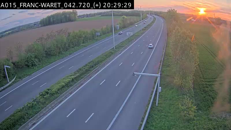
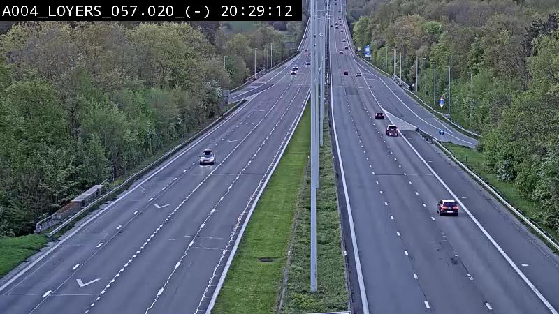
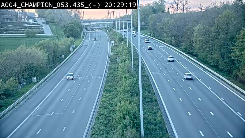
Webcams near hill-2027839
History around hill-2027839
- Battle of Ramillies1706
- Siege of Namur1695
- Siege of Namur1692
- Battle of Les Avins1635
- Battle of Hannut1940
- Siege of Namur1792
- Siege of Namur1746
- Siege of Namur1914