Facts
- What it is
- Mountain
- Height above sea level
- 2,527 m (8,291 ft)
- Range
- Dachstein Mountains
- Country
- Austria
- Coordinates
- 47.502°N 13.602°E
- Source
- Wikidata, CC0
Peaks near Hoher Ochsenkogel
- Hoher Dachstein2,995 m · 3 km awayOn the map
- Gjaidstein2,794 m · 3.2 km awayOn the map
- Bischofsmütze2,458 m · 6.9 km awayOn the map
- Planai1,906 m · 14 km awayOn the map
- Gamsfeld2,027 m · 16 km awayOn the map
- Hauser Kaibling2,015 m · 20 km awayOn the map
- Loser1,837 m · 22 km awayOn the map
- Hochwildstelle2,747 m · 25 km awayOn the map
- Werfener Hochthron2,363 m · 27 km awayOn the map
- Raucheck2,430 m · 28 km awayOn the map
Highest in the Dachstein Mountains
- Hoher Dachstein2,995 mOn the map
- Hoher Ochsenkogel2,527 mOn the map
- Rötelstein2,247 mOn the map
- Zinken1,854 mOn the map
Highest mountains in Austria
- Grossglockner3,798 mOn the map
- Wildspitze3,768 mOn the map
- Weißkugel3,738 mOn the map
- Großvenediger3,657 mOn the map
- Hintere Schwärze3,624 mOn the map
- Großes Wiesbachhorn3,564 mOn the map
- Ramolkogel3,549 mOn the map
- Schalfkogel3,537 mOn the map
- Watzespitze3,532 mOn the map
- Fineilspitze3,514 mOn the map
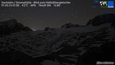
Webcams near Hoher Ochsenkogel



History around Hoher Ochsenkogel
Towns near Hoher Ochsenkogel
- Salzburg53 km away
- Saalfelden am Steinernen Meer57 km away
- Freilassing60 km away
- Bad Reichenhall60 km away