Mountains in Germany
Katzenberg
475 m1,558 ft
Hill · Steigerwald · Germany
Der Katzenberg mit einer Höhe von 475 m ü. NHN zählt zu den höchsten Bergen im Steigerwald. Er erstreckt sich über die Gemeinden Geiselwind, Ebrach und Oberschwarzach in den unterfränkischen Landkreisen Kitzingen und Schweinfurt sowie den oberfränkischen Landkreis Bamberg in Bayern.
From German Wikipedia, CC BY-SA · Read the article
At the summit · forecast for 8:00 PM
9 °CPartly cloudy · wind 12 km/h from the SE
 See it in 3D
Weather at the summit of Katzenberg, 475 m
- 8:00 PM9 °CSE 12 km/h–
- 11:00 PM7 °CSE 8 km/h–
- 2:00 AM7 °CS 6 km/h–
- 5:00 AM8 °CW 9 km/h3.4 mm
- 8:00 AM8 °CNW 12 km/h–
- 11:00 AM10 °CNW 14 km/h0.3 mm
- 2:00 PM12 °CNW 15 km/h–
- 5:00 PM9 °CNW 8 km/h–
| Day | Sky | High / low | Rain | Wind up to |
|---|---|---|---|---|
| Wed, Oct 28 | Light rain | 12 °C / 5 °C | 3.7 mm | 15 km/h |
| Thu, Oct 29 | Clear | 11 °C / 2 °C | – | 9 km/h |
| Fri, Oct 30 | Clear | 10 °C / 2 °C | – | 12 km/h |
| Sat, Oct 31 | Cloudy | 9 °C / 3 °C | – | 10 km/h |
| Sun, Nov 1 | Partly cloudy | 9 °C / 2 °C | – | 8 km/h |
| Mon, Nov 2 | Cloudy | 6 °C / 2 °C | 0.8 mm | 8 km/h |
| Tue, Nov 3 | Rain | 6 °C / 2 °C | 1.2 mm | 14 km/h |
Forecast by MET Norway (CC BY 4.0), updated 06:17 PM GMT+1. Times are local.
Facts
- What it is
- Hill
- Height above sea level
- 475 m (1,558 ft)
- Range
- Steigerwald
- Country
- Germany
- Coordinates
- 49.820°N 10.446°E
- Source
- Wikidata, CC0
Peaks near Katzenberg
- Zabelstein489 m · 14 km awayOn the map
- Schwanberg474 m · 17 km awayOn the map
- Scheinberg498 m · 26 km awayOn the map
- Nassacher Höhe512 m · 41 km awayOn the map
- Friesener Warte562 m · 43 km awayOn the map
- Geisberg585 m · 45 km awayOn the map
- Zeilberg463 m · 45 km awayOn the map
- Büttelberg530 m · 45 km awayOn the map
- Kellerberg340 m · 46 km awayOn the map
- Reisberg554 m · 48 km awayOn the map
Highest in the Steigerwald
- Hoher Landsberg498 mOn the map
- Scheinberg498 mOn the map
- Zabelstein489 mOn the map
- Großer Knetzberg488 mOn the map
- Iffigheimer Berg482 mOn the map
- Rehhügel477 mOn the map
- Stollberg476 mOn the map
- Katzenberg475 mOn the map
- Schwanberg474 mOn the map
Highest mountains in Germany
- Zugspitze2,962 mOn the map
- Hochwanner2,744 mOn the map
- Dreitorspitze2,682 mOn the map
- Hochkalter2,607 mOn the map
- Biberkopf2,599 mOn the map
- Großer Hundstod2,594 mOn the map
- Hochvogel2,592 mOn the map
- Östliche Karwendelspitze2,538 mOn the map
- Hocheisspitze2,523 mOn the map
- Hoher Göll2,522 mOn the map
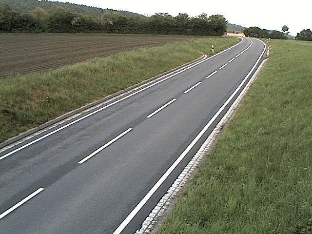
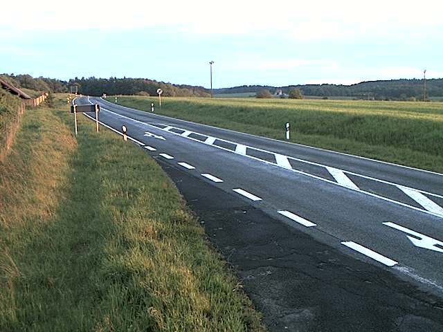
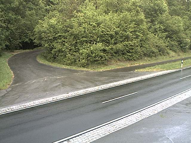
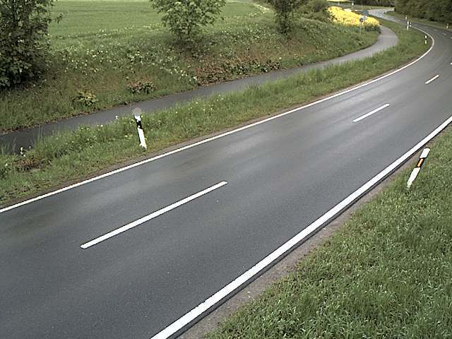
Webcams near Katzenberg
History around Katzenberg
Towns near Katzenberg
- Kitzingen23 km away
- Schweinfurt30 km away
- Bamberg34 km away
- Würzburg36 km away
- Herzogenaurach42 km away
- Forchheim45 km away