 See it in 3D
Facts
- What it is
- Mountain
- Height above sea level
- 507 m (1,663 ft)
- Country
- Germany
- Coordinates
- 50.473°N 12.157°E
- Source
- Wikidata, CC0
Peaks near Kemmler
- Platzerberg629 m · 15 km awayOn the map
- Rehhübel932 m · 16 km awayOn the map
- Thierberg783 m · 20 km awayOn the map
- Schneckenstein883 m · 22 km awayOn the map
- Schwarzberg802 m · 22 km awayOn the map
- Hoher Brand803 m · 22 km awayOn the map
- Steinberg bei Wernesgrün659 m · 23 km awayOn the map
- Kiel942 m · 23 km awayOn the map
- Kuhberg795 m · 25 km awayOn the map
- Wirtsberg664 m · 26 km awayOn the map
Highest mountains in Germany
- Zugspitze2,962 mOn the map
- Hochwanner2,744 mOn the map
- Dreitorspitze2,682 mOn the map
- Hochkalter2,607 mOn the map
- Biberkopf2,599 mOn the map
- Großer Hundstod2,594 mOn the map
- Hochvogel2,592 mOn the map
- Östliche Karwendelspitze2,538 mOn the map
- Hocheisspitze2,523 mOn the map
- Hoher Göll2,522 mOn the map
Webcams near Kemmler
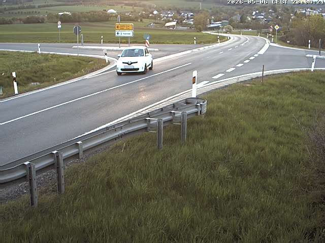


History around Kemmler
Towns near Kemmler
- Plauen3 km away
- Auerbach18 km away
- Reichenbach/Vogtland20 km away
- Greiz21 km away
- Zeulenroda-Triebes23 km away
- Hof25 km away