Kirchstein
1,802 m5,912 ft
Mountain · Schliersee Mountains · Germany
Der Kirchstein ist ein markanter Vorgipfel der Rotwand, auf dem Grat gelegen, den die Rotwand nach Westen bis zum Klammstein aussendet. Über den Sattel zwischen beiden Gipfeln, dem Kirschsteinsattel, verläuft der Verbindungsweg zwischen Rotwandhaus und Taubenstein.
From German Wikipedia, CC BY-SA · Read the article
At the summit · forecast for 2:00 AM
2 °CCloudy · wind 4 km/h from the SW
 See it in 3D
Weather at the summit of Kirchstein, 1,802 m
- 2:00 AM2 °CSW 4 km/h–
- 5:00 AM4 °CSW 3 km/h–
- 8:00 AM4 °CS 5 km/h–
- 11:00 AM11 °CSE 7 km/h–
- 2:00 PM12 °CNE 8 km/h–
- 5:00 PM6 °CSE 5 km/h–
- 8:00 PM4 °CS 4 km/h–
- 11:00 PM6 °CW 10 km/h–
| Day | Sky | High / low | Rain | Wind up to |
|---|---|---|---|---|
| Today | Clear | 12 °C / 2 °C | – | 10 km/h |
| Wed, Oct 28 | Heavy rain | 7 °C / 1 °C | 4.5 mm | 15 km/h |
| Thu, Oct 29 | Partly cloudy | 4 °C / -2 °C | – | 12 km/h |
| Fri, Oct 30 | Mostly clear | 3 °C / -2 °C | – | 8 km/h |
| Sat, Oct 31 | Mostly clear | 4 °C / -2 °C | – | 9 km/h |
| Sun, Nov 1 | Mostly clear | 6 °C / -1 °C | – | 6 km/h |
| Mon, Nov 2 | Clear | 3 °C / -3 °C | – | 6 km/h |
Forecast by MET Norway (CC BY 4.0), updated 12:20 AM GMT+1. Times are local.
Facts
- What it is
- Mountain
- Height above sea level
- 1,802 m (5,912 ft)
- Prominence
- 10 m (33 ft)
- Isolation
- 0.2 km to higher ground
- Range
- Schliersee Mountains
- Country
- Germany
- Coordinates
- 47.648°N 11.926°E
- Source
- Wikidata, CC0
Kirchstein (Mangfallgebirge)
Berggipfel in Deutschland
Der Kirchstein ist ein markanter Vorgipfel der Rotwand, auf dem Grat gelegen, den die Rotwand nach Westen bis zum Klammstein aussendet. Über den Sattel zwischen beiden Gipfeln, dem Kirschsteinsattel, verläuft der Verbindungsweg zwischen Rotwandhaus und Taubenstein. Der Kirchstein kann in leichter Kletterei bestiegen werden.
From German Wikipedia, CC BY-SA · Read the article
Peaks near Kirchstein
- Rotwand1,884 m · 0.7 km awayOn the map
- Aiplspitz1,759 m · 2.8 km awayOn the map
- Wendelstein1,838 m · 8.9 km awayOn the map
- Wallberg1,722 m · 10 km awayOn the map
- Naunspitze1,633 m · 24 km awayOn the map
- Hochiss2,299 m · 24 km awayOn the map
- Petersköpfl1,745 m · 24 km awayOn the map
- Hackenköpfe2,126 m · 26 km awayOn the map
- Hohe Salve1,828 m · 29 km awayOn the map
- Treffauer2,304 m · 29 km awayOn the map
Highest in the Schliersee Mountains
- Rotwand1,884 mOn the map
- Großer Traithen1,852 mOn the map
- Wendelstein1,838 mOn the map
- Kirchstein1,802 mOn the map
- Trainsjoch1,708 mOn the map
- Brecherspitz1,683 mOn the map
- Bodenschneid1,668 mOn the map
- Brünnstein1,634 mOn the map
- Schmaleggerjoch1,633 mOn the map
Highest mountains in Germany
- Zugspitze2,962 mOn the map
- Hochwanner2,744 mOn the map
- Dreitorspitze2,682 mOn the map
- Hochkalter2,607 mOn the map
- Biberkopf2,599 mOn the map
- Großer Hundstod2,594 mOn the map
- Hochvogel2,592 mOn the map
- Östliche Karwendelspitze2,538 mOn the map
- Hocheisspitze2,523 mOn the map
- Hoher Göll2,522 mOn the map
Webcams near Kirchstein


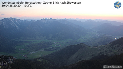
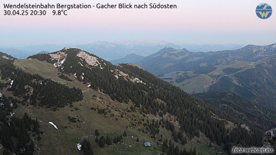
History around Kirchstein
Towns near Kirchstein
- Kolbermoor25 km away
- Bad Aibling25 km away
- Bruckmühl26 km away
- Rosenheim27 km away
- Bad Tölz30 km away
- Holzkirchen30 km away