 See it in 3D
Facts
- What it is
- Mountain
- Height above sea level
- 690 m (2,264 ft)
- Prominence
- 565 m (1,854 ft)
- Country
- Ireland
- Coordinates
- 51.993°N 10.175°W
- Source
- Wikidata, CC0
Peaks near Knocknadobar
- Bentee376 m · 7.2 km awayOn the map
- Carhoo Hill184 m · 15 km awayOn the map
- Mount Eagle516 m · 22 km awayOn the map
- Mullaghanattin773 m · 24 km awayOn the map
- Beenoskee826 m · 25 km awayOn the map
- Mount Brandon952 m · 27 km awayOn the map
- Caher West Top973 m · 28 km awayOn the map
- Stumpa Dúloigh784 m · 28 km awayOn the map
- Caher1,000 m · 29 km awayOn the map
- The Bones957 m · 29 km awayOn the map
Highest mountains in Ireland
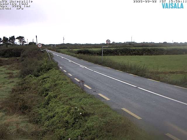
Webcams near Knocknadobar

History around Knocknadobar
Towns near Knocknadobar
- Tralee45 km away