 See it in 3D
Facts
- What it is
- Mountain
- Height above sea level
- 1,771 m (5,810 ft)
- Range
- Karwendel
- Country
- Germany
- Coordinates
- 47.530°N 11.519°E
- Source
- Wikidata, CC0
Peaks near Kotzen
- Birkkarspitze2,749 m · 15 km awayOn the map
- Kaltwasserkarspitze2,733 m · 15 km awayOn the map
- Lamsenspitze2,508 m · 17 km awayOn the map
- Herzogstand1,731 m · 18 km awayOn the map
- Hochiss2,299 m · 20 km awayOn the map
- Krottenkopf2,086 m · 25 km awayOn the map
- Hafelekarspitze2,334 m · 26 km awayOn the map
- Wank1,780 m · 28 km awayOn the map
- Nordkette2,637 m · 29 km awayOn the map
- Kellerjoch2,344 m · 30 km awayOn the map
Highest in the Karwendel
- Birkkarspitze2,749 mOn the map
- Nordkette2,637 mOn the map
- Gamsjoch2,452 mOn the map
- mountain-1399972362,000 mOn the map
- Vorderskopf1,858 mOn the map
- Kotzen1,771 mOn the map
- Zirler Berg1,057 mOn the map
Highest mountains in Germany
- Zugspitze2,962 mOn the map
- Hochwanner2,744 mOn the map
- Dreitorspitze2,682 mOn the map
- Hochkalter2,607 mOn the map
- Biberkopf2,599 mOn the map
- Großer Hundstod2,594 mOn the map
- Hochvogel2,592 mOn the map
- Östliche Karwendelspitze2,538 mOn the map
- Hocheisspitze2,523 mOn the map
- Hoher Göll2,522 mOn the map
Webcams near Kotzen
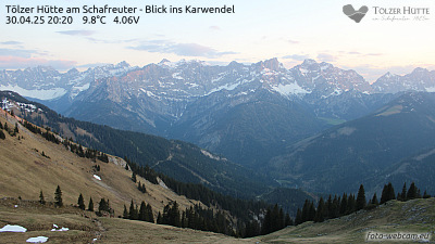
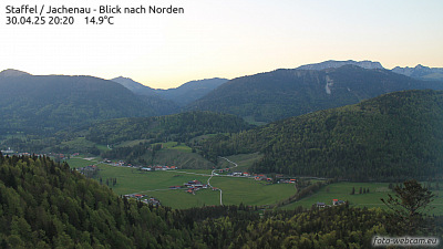


Towns near Kotzen
- Bad Tölz26 km away
- Penzberg27 km away
- Innsbruck31 km away
- Garmisch-Partenkirchen32 km away
- Geretsried37 km away
- Holzkirchen41 km away