Kyes Peak
Mountain · Cascade Range · United States
Kyes Peak, which is also known as "Goblin Peak", is a mountain peak located in the Henry M. Jackson Wilderness in Washington, United States. Kyes Peak rises to over 7,280 feet (2,220 m). Together with Columbia Peak and Monte Cristo Peak it forms a basin that contains Columbia Glacier and Blanca Lake.
From Wikipedia, CC BY-SA · Read the article
At the summit · forecast for 4:00 PM
32 °FSnow · wind 5 mph from the SW
 See it in 3D
Kyes Peak weather forecast
- 4:00 PM32 °FSW 5 mph0.11 in
- 7:00 PM30 °FSW 6 mph0.09 in
- 10:00 PM28 °FSW 8 mph0.28 in
- 1:00 AM28 °FS 4 mph0.24 in
- 4:00 AM27 °FS 5 mph0.2 in
- 7:00 AM26 °FS 6 mph0.09 in
- 10:00 AM28 °FS 4 mph0.15 in
- 1:00 PM28 °FS 7 mph0.03 in
| Day | Sky | High / low | Rain | Wind up to |
|---|---|---|---|---|
| Wed, Oct 28 | Snow | 29 °F / 25 °F | 0.86 in | 8 mph |
| Thu, Oct 29 | Partly cloudy | 33 °F / 17 °F | – | 10 mph |
| Fri, Oct 30 | Snow | 29 °F / 17 °F | 0.45 in | 8 mph |
| Sat, Oct 31 | Clear | 32 °F / 19 °F | – | 6 mph |
| Sun, Nov 1 | Mostly clear | 32 °F / 8 °F | 0 in | 2 mph |
| Mon, Nov 2 | Partly cloudy | 36 °F / 21 °F | – | 6 mph |
| Tue, Nov 3 | Clear | 45 °F / 27 °F | – | 5 mph |
Forecast by MET Norway (CC BY 4.0), updated 12:17 PM PDT. Times are local.
Facts
- What it is
- Mountain
- Range
- Cascade Range
- Country
- United States
- Coordinates
- 47.965°N 121.333°W
- Source
- Wikidata, CC0
Kyes Peak
Mountain in Washington (state), United States
Kyes Peak, which is also known as "Goblin Peak", is a mountain peak located in the Henry M. Jackson Wilderness in Washington, United States. Kyes Peak rises to over 7,280 feet (2,220 m). Together with Columbia Peak and Monte Cristo Peak it forms a basin that contains Columbia Glacier and Blanca Lake. It is the highest summit in the Monte Cristo group of peaks.
From Wikipedia, CC BY-SA · Read the article
Peaks near Kyes Peak
- Monte Cristo Peak7,136 ft · 1 km awayOn the map
- Columbia Peak7,172 ft · 2.1 km awayOn the map
- Wilmans Peaks6,883 ft · 2.5 km awayOn the map
- Cadet Peak7,185 ft · 2.6 km awayOn the map
- Sloan Peak7,835 ft · 8.5 km awayOn the map
- Sheep Mountain6,166 ft · 9.2 km awayOn the map
- Bedal Peak6,522 ft · 12 km awayOn the map
- Sperry Peak6,119 ft · 14 km awayOn the map
- Vesper Peak6,221 ft · 15 km awayOn the map
- Mount Dickerman5,722 ft · 15 km awayOn the map
Peaks below Kyes Peak
- Monte Cristo Peak7,136 ftOn the map
Highest in the Cascade Range
- Mount Rainier14,400 ftOn the map
- Mount Adams12,280 ftOn the map
- Mount McLoughlin9,495 ftOn the map
- Mount Thielsen9,183 ftOn the map
- Broken Top9,177 ftOn the map
- Black Peak8,976 ftOn the map
- Dome Peak8,921 ftOn the map
- Silver Star Mountain8,875 ftOn the map
Highest mountains in United States
- Denali20,308 ftOn the map
- Mount Saint Elias18,009 ftOn the map
- Mount Foraker17,402 ftOn the map
- Mount Bona16,535 ftOn the map
- Mount Blackburn16,390 ftOn the map
- Mount Sanford16,237 ftOn the map
- Mount Vancouver15,787 ftOn the map
- Mount Churchill15,636 ftOn the map
- Mount Fairweather15,325 ftOn the map
- Mount Hubbard14,951 ftOn the map
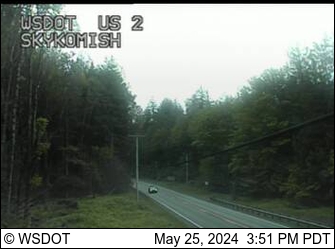
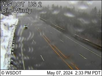
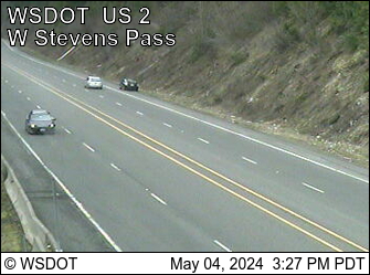
Webcams near Kyes Peak
Towns near Kyes Peak
- Sultan37 km away
- Monroe49 km away
- Granite Falls49 km away
- Lake Stevens55 km away
- Snohomish57 km away
- West Lake Stevens57 km away