Mountains in Ireland
Lyracappul
825 m2,707 ft
Mountain · Galtee Mountains · Ireland
At the summit · forecast for 11:00 PM
8 °CRain · wind 33 km/h from the SW
 See it in 3D
Weather at the summit of Lyracappul, 825 m
- 11:00 PM8 °CSW 33 km/h0.4 mm
- 2:00 AM4 °CSW 33 km/h–
- 5:00 AM4 °CSW 28 km/h0.2 mm
- 8:00 AM3 °CSW 30 km/h0.1 mm
- 11:00 AM6 °CW 30 km/h0.8 mm
- 2:00 PM6 °CW 28 km/h–
- 5:00 PM5 °CW 26 km/h–
- 8:00 PM4 °CSW 23 km/h–
| Day | Sky | High / low | Rain | Wind up to |
|---|---|---|---|---|
| Tue, Oct 27 | Rain | 6 °C / 3 °C | 1.1 mm | 34 km/h |
| Wed, Oct 28 | Partly cloudy | 11 °C / 6 °C | – | 32 km/h |
| Thu, Oct 29 | Cloudy | 9 °C / 6 °C | 2.6 mm | 31 km/h |
| Fri, Oct 30 | Partly cloudy | 9 °C / 3 °C | 1.7 mm | 28 km/h |
| Sat, Oct 31 | Light rain | 5 °C / 2 °C | 0.7 mm | 7 km/h |
| Sun, Nov 1 | Partly cloudy | 5 °C / 2 °C | – | 10 km/h |
| Mon, Nov 2 | Clear | 4 °C / -1 °C | – | 12 km/h |
Forecast by MET Norway (CC BY 4.0), updated 07:16 PM GMT. Times are local.
Facts
- What it is
- Mountain
- Height above sea level
- 825 m (2,707 ft)
- Prominence
- 100 m (328 ft)
- Range
- Galtee Mountains
- Country
- Ireland
- Coordinates
- 52.360°N 8.227°W
- Source
- Wikidata, CC0
Peaks near Lyracappul
- Temple Hill785 m · 1.8 km awayOn the map
- Galtymore918 m · 3.3 km awayOn the map
- Seefin528 m · 21 km awayOn the map
- Sugarloaf Hill663 m · 23 km awayOn the map
- Carron Mountain440 m · 24 km awayOn the map
- Knockmealdown794 m · 26 km awayOn the map
- Keeper Hill694 m · 43 km awayOn the map
- Slievenamon719 m · 46 km awayOn the map
- Fauscoum792 m · 49 km awayOn the map
- Mount Hillary391 m · 49 km awayOn the map
Highest in the Galtee Mountains
- Galtymore918 mOn the map
- Lyracappul825 mOn the map
Highest mountains in Ireland
- Carrauntoohil1,039 mOn the map
- Mount Brandon952 mOn the map
- Lugnaquilla925 mOn the map
- Galtymore918 mOn the map
- Baurtregaum851 mOn the map
- Mullaghcleevaun849 mOn the map
- Mangerton Mountain838 mOn the map
- Purple Mountain832 mOn the map
- Beenoskee826 mOn the map
- Lyracappul825 mOn the map
Webcams near Lyracappul
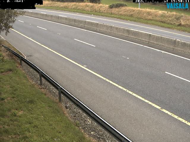
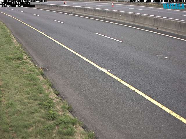
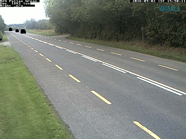

History around Lyracappul
Towns near Lyracappul
- Cluain Meala36 km away
- Limerick43 km away
- Cork54 km away
- Douglas56 km away
- Ballincollig58 km away
- Carrigaline62 km away