Mountains in Ireland
See it in 3DSeefin
528 m1,732 ft
Mountain · Ballyhoura Mountains · Ireland
Seefin is a mountain near the southern border of County Limerick, Ireland. At 528m it is the highest point and the second most northerly summit in the Ballyhoura Mountains and the 396th highest in Ireland. Latitude: 52.313847 Longitude: -8.522738.
From Wikipedia, CC BY-SA · Read the article
The highest point of Ballyhoura Mountains
At the summit · forecast for 11:00 PM
9 °CRain · wind 31 km/h from the SW
Weather at the summit of Seefin, 528 m
- 11:00 PM9 °CSW 31 km/h0.3 mm
- 2:00 AM6 °CSW 32 km/h–
- 5:00 AM6 °CSW 29 km/h0.5 mm
- 8:00 AM5 °CSW 25 km/h0.2 mm
- 11:00 AM8 °CW 27 km/h0.7 mm
- 2:00 PM8 °CW 30 km/h–
- 5:00 PM7 °CW 22 km/h–
- 8:00 PM6 °CSW 22 km/h–
| Day | Sky | High / low | Rain | Wind up to |
|---|---|---|---|---|
| Tue, Oct 27 | Light rain | 8 °C / 5 °C | 1.4 mm | 33 km/h |
| Wed, Oct 28 | Partly cloudy | 13 °C / 8 °C | – | 30 km/h |
| Thu, Oct 29 | Cloudy | 11 °C / 9 °C | 2.4 mm | 35 km/h |
| Fri, Oct 30 | Clear | 11 °C / 5 °C | 1.1 mm | 32 km/h |
| Sat, Oct 31 | Light rain | 7 °C / 4 °C | 0.8 mm | 7 km/h |
| Sun, Nov 1 | Partly cloudy | 6 °C / 2 °C | – | 11 km/h |
| Mon, Nov 2 | Clear | 8 °C / 1 °C | – | 12 km/h |
Forecast by MET Norway (CC BY 4.0), updated 07:16 PM GMT. Times are local.
Facts
- What it is
- Mountain
- Height above sea level
- 528 m (1,732 ft)
- Range
- Ballyhoura Mountains
- Country
- Ireland
- Highest point of
- Ballyhoura Mountains
- Coordinates
- 52.313°N 8.521°W
- Source
- Wikidata, CC0
Peaks near Seefin
- Carron Mountain440 m · 3.6 km awayOn the map
- Temple Hill785 m · 19 km awayOn the map
- Lyracappul825 m · 21 km awayOn the map
- Galtymore918 m · 24 km awayOn the map
- Mount Hillary391 m · 30 km awayOn the map
- Sugarloaf Hill663 m · 40 km awayOn the map
- Knockmealdown794 m · 42 km awayOn the map
- Musheramore644 m · 46 km awayOn the map
- Spur Hill137 m · 51 km awayOn the map
- Keeper Hill694 m · 52 km awayOn the map
Highest mountains in Ireland
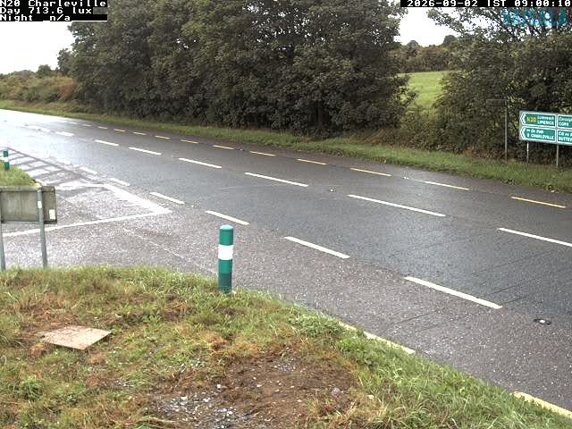
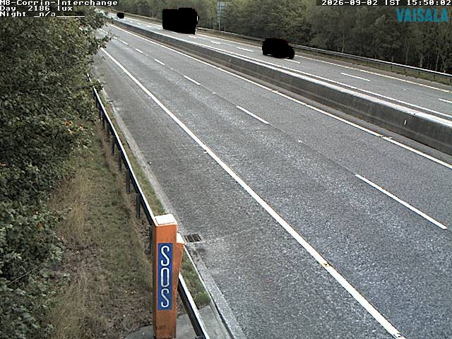
Webcams near Seefin
History around Seefin
Towns near Seefin
- Limerick40 km away
- Cork46 km away
- Ballincollig48 km away
- Douglas49 km away
- Cluain Meala56 km away
- Carrigaline56 km away