Facts
- What it is
- Volcano
- Height above sea level
- 215 m (705 ft)
- Country
- New Zealand
- Coordinates
- 35.370°S 173.882°E
- Source
- Wikidata, CC0
Peaks near Maungaturoto
- Kaikohe Hill282 m · 9.9 km awayOn the map
- Te Puke136 m · 19 km awayOn the map
- TarahiVolcano · 2.9 km awayOn the map
- PoueruaHill · 4.5 km awayOn the map
- Te AhuahuHill · 5 km awayOn the map
- PutahiHill · 6.7 km awayOn the map
- TauanuiHill · 14 km awayOn the map
- HikurangiHill · 19 km awayOn the map
- Flagstaff HillHill · 25 km awayOn the map
- Te RaupuaHill · 38 km awayOn the map
Highest mountains in New Zealand
- Aoraki / Mount Cook3,724 mOn the map
- Mount Tasman3,497 mOn the map
- Malte-Brun3,199 mOn the map
- Mount Sefton3,151 mOn the map
- Mount Elie De Beaumont3,109 mOn the map
- La Perouse3,078 mOn the map
- Douglas Peak3,077 mOn the map
- The Minarets3,040 mOn the map
- Mount Aspiring / Tititea3,033 mOn the map
- Mount Hamilton3,025 mOn the map
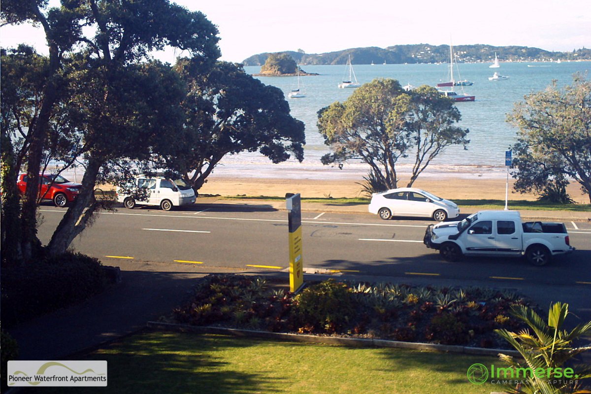
Webcams near Maungaturoto
History around Maungaturoto
Towns near Maungaturoto
- Whangarei57 km away