Mountains in New Zealand
Putahi
Hill · New Zealand
Putahi is a 381 m (1,250 ft) high rhyolite dome, in the Kaikohe-Bay of Islands volcanic field in New Zealand. To the north of Putahi is Lake Ōmāpere. To its north east are the volcanoes of Tarahi and Te Ahuahu.
From Wikipedia, CC BY-SA · Read the article
At the summit · forecast for 1:00 PM
17 °CRain · wind 32 km/h from the NW
 See it in 3D
Putahi weather forecast
- 1:00 PM17 °CNW 32 km/h1.4 mm
- 4:00 PM17 °CW 22 km/h–
- 7:00 PM15 °CSW 17 km/h–
- 10:00 PM11 °CSW 8 km/h–
- 1:00 AM10 °CSW 7 km/h–
- 4:00 AM9 °CW 7 km/h–
- 7:00 AM7 °CW 9 km/h–
- 10:00 AM14 °CSW 14 km/h–
| Day | Sky | High / low | Rain | Wind up to |
|---|---|---|---|---|
| Wed, Oct 28 | Partly cloudy | 17 °C / 7 °C | 0.5 mm | 23 km/h |
| Thu, Oct 29 | Partly cloudy | 18 °C / 11 °C | 1.1 mm | 31 km/h |
| Fri, Oct 30 | Cloudy | 15 °C / 10 °C | 0.2 mm | 24 km/h |
| Sat, Oct 31 | Cloudy | 16 °C / 10 °C | 0.1 mm | 20 km/h |
| Sun, Nov 1 | Cloudy | 16 °C / 8 °C | – | 18 km/h |
| Mon, Nov 2 | Cloudy | 16 °C / 11 °C | 0.2 mm | 22 km/h |
| Tue, Nov 3 | Light rain | 18 °C / 11 °C | 0.9 mm | 13 km/h |
Forecast by MET Norway (CC BY 4.0), updated 08:16 AM GMT+13. Times are local.
Facts
- What it is
- Hill
- Country
- New Zealand
- Coordinates
- 35.373°S 173.808°E
- Source
- Wikidata, CC0
Peaks near Putahi
- Kaikohe Hill282 m · 4.6 km awayOn the map
- Maungaturoto215 m · 6.7 km awayOn the map
- Te Puke136 m · 24 km awayOn the map
- TarahiVolcano · 4.2 km awayOn the map
- Te AhuahuHill · 4.8 km awayOn the map
- PoueruaHill · 11 km awayOn the map
- TauanuiHill · 14 km awayOn the map
- HikurangiHill · 21 km awayOn the map
- Flagstaff HillHill · 31 km awayOn the map
- Te RaupuaHill · 32 km awayOn the map
Highest mountains in New Zealand
- Aoraki / Mount Cook3,724 mOn the map
- Mount Tasman3,497 mOn the map
- Malte-Brun3,199 mOn the map
- Mount Sefton3,151 mOn the map
- Mount Elie De Beaumont3,109 mOn the map
- La Perouse3,078 mOn the map
- Douglas Peak3,077 mOn the map
- The Minarets3,040 mOn the map
- Mount Aspiring / Tititea3,033 mOn the map
- Mount Hamilton3,025 mOn the map
Webcams near Putahi
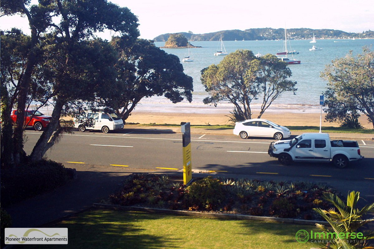
History around Putahi
Towns near Putahi
- Whangarei61 km away