Mountains in Switzerland
Mittagstock
2,989 m9,806 ft
Mountain · Uri Alps · Switzerland
The Mittagstock is a mountain of the Urner Alps, overlooking the Göscheneralpsee in the canton of Uri. It lies on the chain that separates the Göschenertal from the valley called Urseren.
From Wikipedia, CC BY-SA · Read the article
At the summit · forecast for 12:00 PM
4 °CClear · wind 4 km/h from the NW
 See it in 3D
Weather at the summit of Mittagstock, 2,989 m
- 12:00 PM4 °CNW 4 km/h–
- 3:00 PM4 °CNW 6 km/h–
- 6:00 PM-3 °CNW 5 km/h–
- 9:00 PM-6 °CNW 6 km/h–
- 12:00 AM-6 °CNW 8 km/h–
- 3:00 AM-6 °CNW 7 km/h0.3 mm
- 6:00 AM-4 °CNW 5 km/h–
- 9:00 AM-2 °CNW 8 km/h–
| Day | Sky | High / low | Rain | Wind up to |
|---|---|---|---|---|
| Wed, Oct 28 | Cloudy | -1 °C / -6 °C | 0.3 mm | 9 km/h |
| Thu, Oct 29 | Clear | 2 °C / -9 °C | – | 5 km/h |
| Fri, Oct 30 | Clear | 1 °C / -8 °C | – | 6 km/h |
| Sat, Oct 31 | Clear | 1 °C / -12 °C | – | 6 km/h |
| Sun, Nov 1 | Clear | 2 °C / -9 °C | – | 4 km/h |
| Mon, Nov 2 | Clear | 3 °C / -8 °C | – | 4 km/h |
| Tue, Nov 3 | Partly cloudy | 1 °C / -7 °C | – | 8 km/h |
Forecast by MET Norway (CC BY 4.0), updated 02:17 AM GMT+1. Times are local.
Facts
- What it is
- Mountain
- Height above sea level
- 2,989 m (9,806 ft)
- Prominence
- 160 m (525 ft)
- Range
- Uri Alps
- Parent peak
- Müeterlishorn
- Country
- Switzerland
- Coordinates
- 46.632°N 8.512°E
- Source
- Wikidata, CC0
Peaks near Mittagstock
- Dammastock3,630 m · 7.1 km awayOn the map
- Galenstock3,586 m · 7.6 km awayOn the map
- Witenwasserenstock3,085 m · 12 km awayOn the map
- Titlis3,238 m · 17 km awayOn the map
- Basòdino3,272 m · 25 km awayOn the map
- Blinnenhorn3,374 m · 28 km awayOn the map
- Oberaarhorn3,631 m · 28 km awayOn the map
- Lauteraarhorn4,042 m · 30 km awayOn the map
- Wetterhorn3,690 m · 30 km awayOn the map
- Schreckhorn4,078 m · 30 km awayOn the map
Parent peak
The nearest higher peak its prominence is measured to.
- Müeterlishorn3,066 mOn the map
Highest in the Uri Alps
- Dammastock3,630 mOn the map
- Sustenhorn3,503 mOn the map
- Fleckistock3,417 mOn the map
- Diechterhorn3,389 mOn the map
- Titlis3,238 mOn the map
- Gross Spannort3,198 mOn the map
- Schlossberg3,133 mOn the map
- Mittagstock2,989 mOn the map
Highest mountains in Switzerland
- Dufourspitze4,634 mOn the map
- Dom4,546 mOn the map
- Lyskamm4,532 mOn the map
- Weisshorn4,505 mOn the map
- Matterhorn4,478 mOn the map
- Dent Blanche4,357 mOn the map
- Grand Combin4,309 mOn the map
- Finsteraarhorn4,274 mOn the map
- Zinalrothorn4,221 mOn the map
- Alphubel4,206 mOn the map
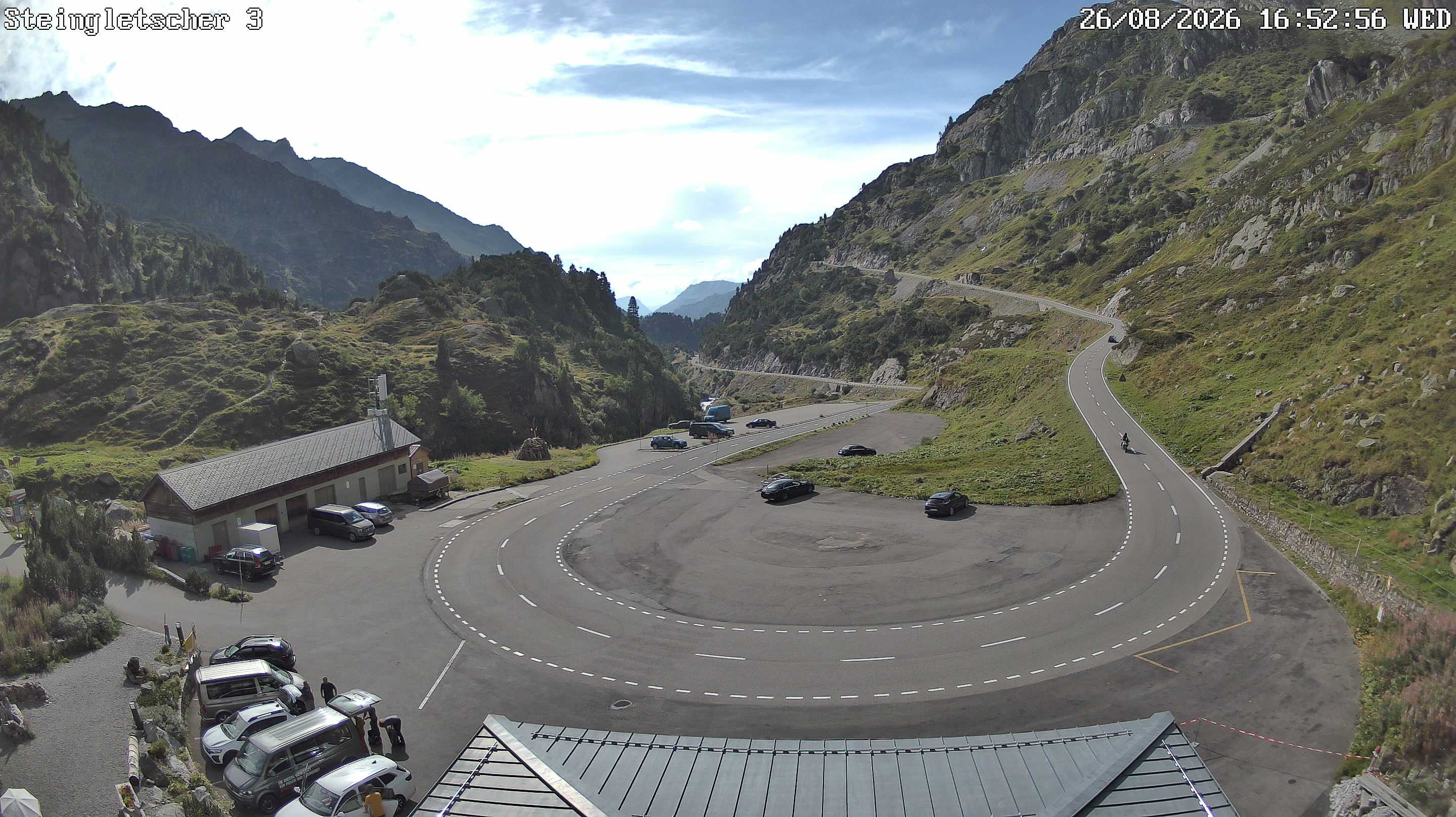
Webcams near Mittagstock

History around Mittagstock
- The Rhineland massacres: Members of the People's Crusade led by Count Emicho destroy most of the Jewish communities along the Rhine in a series of large…1096
- Göschenen riots1875
- Battle of Gotthard Pass1799
- Earthquake — Switzerland1601
- F/A-18 Absturz am Sustenpass2016
- Explosionsunglück am Steingletscher1992
- Lawinenunfall bei Wassen1888
- Battle of Devil's Bridge1799