 See it in 3D
Facts
- What it is
- Mountain
- Height above sea level
- 350 m (1,148 ft)
- Country
- France
- Coordinates
- 49.570°N 5.273°E
- Source
- Wikidata, CC0
Peaks near Mont Saint-Walfroy
- Zolwerknapp422 m · 48 km awayOn the map
- Croix Scaille504 m · 52 km awayOn the map
- Napoléonsgaard554 m · 54 km awayOn the map
- Mont St. Jean411 m · 57 km awayOn the map
- Côte Saint-GermainHill · 19 km awayOn the map
- Butte de MontfauconHill · 34 km awayOn the map
- Titelberg397 m · 42 km awayOn the map
- Mont-Olympe Charleville-Mézières197 m · 46 km awayOn the map
- Côtes de Meuse454 m · 48 km awayOn the map
- Gaalgebierg401 m · 52 km awayOn the map
Highest mountains in France
- Mont Blanc4,806 mOn the map
- Pointe Walker4,208 mOn the map
- Grandes Jorasses4,208 mOn the map
- Aiguille Verte4,122 mOn the map
- Barre des Écrins4,102 mOn the map
- Meije3,983 mOn the map
- Ailefroide3,954 mOn the map
- Mont Pelvoux3,946 mOn the map
- Pic Sans Nom3,913 mOn the map
- Aiguille de Tré la Tête3,911 mOn the map
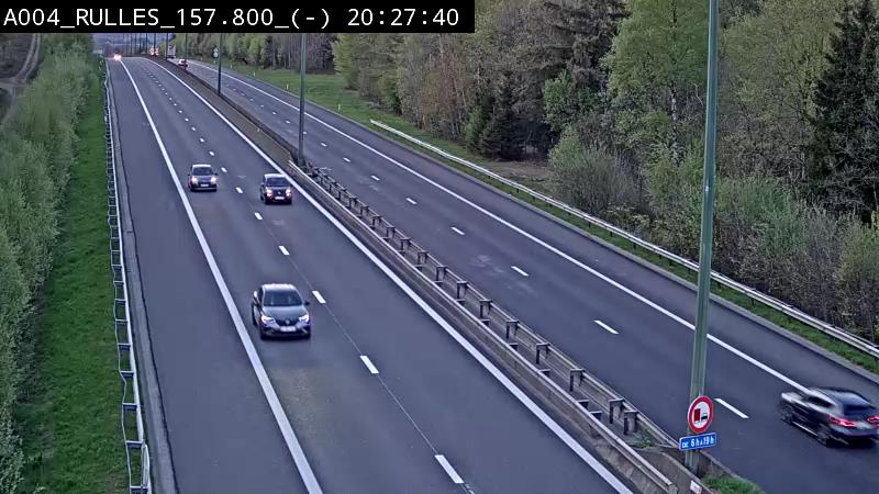
Webcams near Mont Saint-Walfroy

History around Mont Saint-Walfroy
Towns near Mont Saint-Walfroy
- Sedan28 km away
- Arlon41 km away
- Charleville-Mézières45 km away
- Verdun46 km away
- Esch-sur-Alzette52 km away
- Dudelange60 km away