Mountains in Germany
Moritzberg
604 m1,980 ft
Mountain · Franconian Jura · Germany
At the summit · forecast for 12:00 AM
6 °CPartly cloudy · wind 11 km/h from the S
 See it in 3D
Weather at the summit of Moritzberg, 604 m
- 12:00 AM6 °CS 11 km/h–
- 3:00 AM5 °CS 11 km/h–
- 6:00 AM5 °CSE 10 km/h–
- 9:00 AM7 °CSE 8 km/h–
- 12:00 PM13 °CSE 10 km/h–
- 3:00 PM14 °CSE 10 km/h–
- 6:00 PM8 °CSE 12 km/h–
- 9:00 PM7 °CSE 13 km/h–
| Day | Sky | High / low | Rain | Wind up to |
|---|---|---|---|---|
| Today | Clear | 14 °C / 5 °C | – | 14 km/h |
| Wed, Oct 28 | Partly cloudy | 11 °C / 3 °C | 3.6 mm | 16 km/h |
| Thu, Oct 29 | Mostly clear | 10 °C / 0 °C | – | 8 km/h |
| Fri, Oct 30 | Clear | 9 °C / -1 °C | – | 7 km/h |
| Sat, Oct 31 | Cloudy | 9 °C / -0 °C | – | 6 km/h |
| Sun, Nov 1 | Partly cloudy | 8 °C / -0 °C | 0.3 mm | 8 km/h |
| Mon, Nov 2 | Partly cloudy | 8 °C / 3 °C | 0.5 mm | 4 km/h |
Forecast by MET Norway (CC BY 4.0), updated 08:16 PM GMT+1. Times are local.
Facts
- What it is
- Mountain
- Height above sea level
- 604 m (1,980 ft)
- Prominence
- 177 m (581 ft)
- Isolation
- 9.4 km to higher ground
- Range
- Franconian Jura
- Parent peak
- Arzberg
- Country
- Germany
- Coordinates
- 49.466°N 11.312°E
- Source
- Wikidata, CC0
Peaks near Moritzberg
- Schmausenbuck390 m · 12 km awayOn the map
- Dillberg595 m · 17 km awayOn the map
- Ottenberg588 m · 20 km awayOn the map
- Buchberg591 m · 26 km awayOn the map
- Ehrenbürg532 m · 30 km awayOn the map
- Kellerberg340 m · 34 km awayOn the map
- Schloßberg543 m · 36 km awayOn the map
- Kleiner Kulm627 m · 38 km awayOn the map
- Göschberg621 m · 38 km awayOn the map
- Zipser Berg552 m · 38 km awayOn the map
Highest in the Franconian Jura
- Laubbichel636 mOn the map
- Steinbühl632 mOn the map
- Gehäubichel631 mOn the map
- Kleiner Kulm627 mOn the map
- Auf der Ebene625 mOn the map
- Steinberg625 mOn the map
- Göschberg621 mOn the map
- Kirschbühl615 mOn the map
- Moritzberg604 mOn the map
Highest mountains in Germany
- Zugspitze2,962 mOn the map
- Hochwanner2,744 mOn the map
- Dreitorspitze2,682 mOn the map
- Hochkalter2,607 mOn the map
- Biberkopf2,599 mOn the map
- Großer Hundstod2,594 mOn the map
- Hochvogel2,592 mOn the map
- Östliche Karwendelspitze2,538 mOn the map
- Hocheisspitze2,523 mOn the map
- Hoher Göll2,522 mOn the map
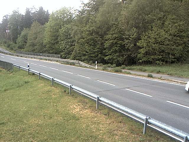
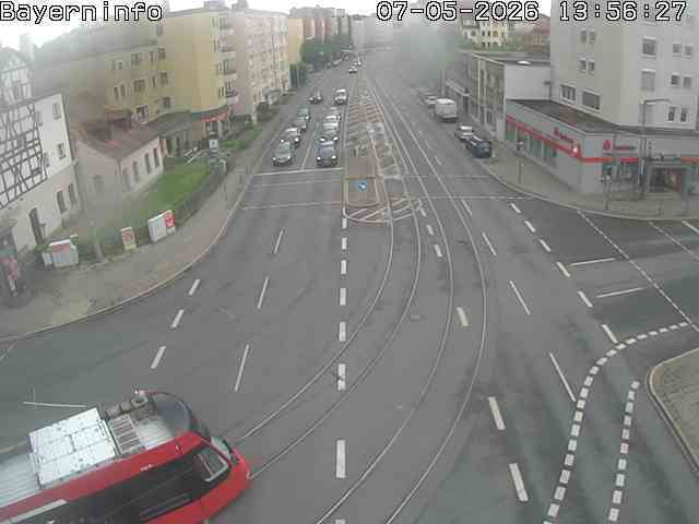
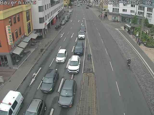
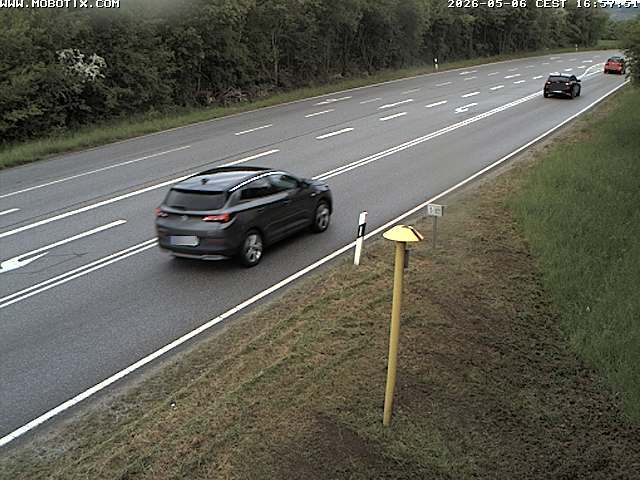
Webcams near Moritzberg

History around Moritzberg
- The Nuremberg trials begin: Trials against 22 Nazis for war crimes of World War II start at the Palace of Justice, Nuremberg1945
- Nuremberg trials conclude1946
- Doctors' trial1947
- 1982 Nuremberg shooting1982
- ČSA Flight 511 (March 1961)1961
- The Nuremberg Trials heard the story of German plans to create a revolution in Ireland during World War II.1945
- Battle of Nuremberg1945
- Siege of Nuremberg1632
Towns near Moritzberg
- Lauf an der Pegnitz5.8 km away
- Altdorf bei Nürnberg9.5 km away
- Nuremberg17 km away
- Wendelstein17 km away
- Neumarkt in der Oberpfalz23 km away
- Fürth23 km away