Mountains in Canada
Mount Arrowsmith
1,819 m5,968 ft
Mountain · Vancouver Island Ranges · Canada
Mount Arrowsmith is the highest mountain east of Port Alberni on Vancouver Island. Its dominant rock is basalt. The mountain is contained within the Mount Arrowsmith Biosphere Region and as of September 18, 2009 is designated part of 1,300 ha hectare Mt. Arrowsmith Massif Regional Park.
From Wikipedia, CC BY-SA · Read the article
 See it in 3D
Facts
- What it is
- Mountain
- Height above sea level
- 1,819 m (5,968 ft)
- Prominence
- 1,429 m (4,688 ft)
- Range
- Vancouver Island Ranges
- Country
- Canada
- Coordinates
- 49.120°N 124.290°W
- Source
- Wikidata, CC0
Peaks near Mount Arrowsmith
- Mount Moriarty1,603 m · 12 km awayOn the map
- Mount Benson1,023 m · 18 km awayOn the map
- Mount Whymper1,554 m · 21 km awayOn the map
- Mount McQuillan1,575 m · 23 km awayOn the map
- Mount Cokely1,619 m · 25 km awayOn the map
- Mount Sicker723 m · 48 km awayOn the map
- Mount Prevost788 m · 50 km awayOn the map
- Mount Joan1,556 m · 56 km awayOn the map
- Maple Mountain506 m · 59 km awayOn the map
Highest in the Vancouver Island Ranges
- Golden Hinde2,195 mOn the map
- Mount Albert Edward2,093 mOn the map
- Mount McBride2,083 mOn the map
- Mount Filberg2,035 mOn the map
- The Red Pillar2,034 mOn the map
- Mount Cobb2,030 mOn the map
- Mount Harmston2,009 mOn the map
- Alexandra Peak1,983 mOn the map
- Mount Arrowsmith1,819 mOn the map
Highest mountains in Canada
- Mount Logan5,959 mOn the map
- Mount Saint Elias18,009 ftOn the map
- Mount Lucania5,240 mOn the map
- King Peak5,173 mOn the map
- Mount Steele5,073 mOn the map
- Mount Wood4,850 mOn the map
- Mount Vancouver15,787 ftOn the map
- Mount Slaggard4,742 mOn the map
- Mount Macaulay4,700 mOn the map
- Mount Fairweather15,325 ftOn the map
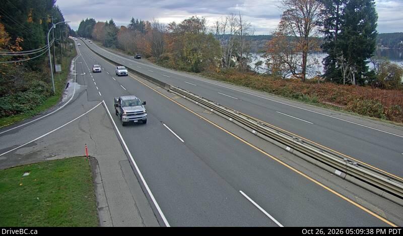
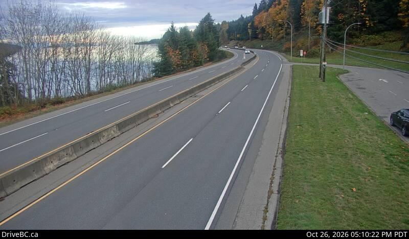
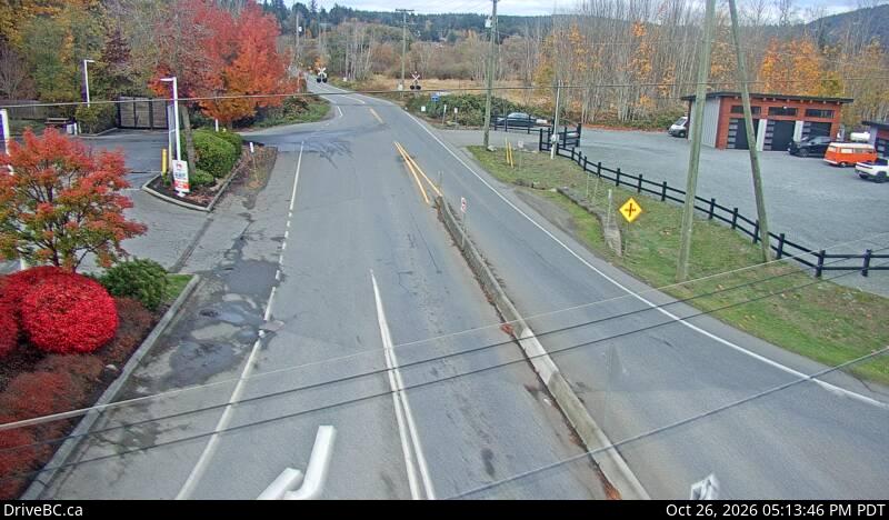
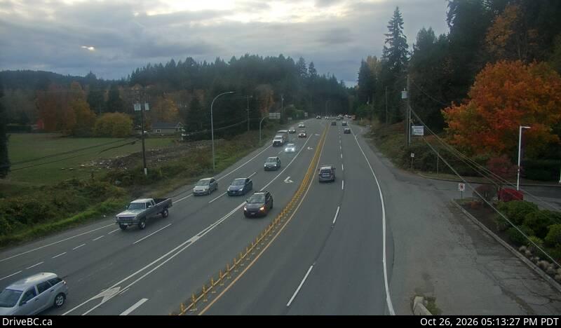
Webcams near Mount Arrowsmith
Towns near Mount Arrowsmith
- Harewood25 km away
- Nanaimo26 km away
- Port Alberni40 km away
- North Cowichan54 km away
- Duncan57 km away