Mount Benson
1,023 m3,356 ft
Mountain · Vancouver Island Ranges · Canada
Mount Benson is a mountain located on Vancouver Island, British Columbia located 9 km (5.6 mi) west of Nanaimo. At one time, there was road access to the peak as there was a fire lookout at the summit.
From Wikipedia, CC BY-SA · Read the article
At the summit · forecast for 3:00 PM
3 °CPartly cloudy · wind 19 km/h from the E
 See it in 3D
Weather at the summit of Mount Benson, 1,023 m
- 3:00 PM3 °CE 19 km/h0.1 mm
- 6:00 PM1 °CSE 21 km/h0.1 mm
- 9:00 PM0 °CSE 35 km/h2.2 mm
- 12:00 AM1 °CSE 25 km/h3.4 mm
- 3:00 AM1 °CE 34 km/h3.4 mm
- 6:00 AM1 °CSE 37 km/h4 mm
- 9:00 AM1 °CSE 35 km/h2.2 mm
- 12:00 PM1 °CE 36 km/h2.2 mm
| Day | Sky | High / low | Rain | Wind up to |
|---|---|---|---|---|
| Thu, Oct 29 | Sleet | 1 °C / -0 °C | 18.1 mm | 39 km/h |
| Fri, Oct 30 | Partly cloudy | 4 °C / -4 °C | 1.4 mm | 17 km/h |
| Sat, Oct 31 | Clear | 4 °C / -3 °C | – | 9 km/h |
| Sun, Nov 1 | Mostly clear | 4 °C / -4 °C | – | 7 km/h |
| Mon, Nov 2 | Cloudy | 4 °C / -1 °C | 0.1 mm | 7 km/h |
| Tue, Nov 3 | Cloudy | 5 °C / -1 °C | – | 7 km/h |
| Wed, Nov 4 | Clear | 7 °C / 0 °C | – | 9 km/h |
Forecast by MET Norway (CC BY 4.0), updated 06:17 AM PDT. Times are local.
Facts
- What it is
- Mountain
- Height above sea level
- 1,023 m (3,356 ft)
- Prominence
- 668 m (2,192 ft)
- Range
- Vancouver Island Ranges
- Country
- Canada
- Coordinates
- 49.150°N 124.051°W
- Source
- Wikidata, CC0
Mount Benson (British Columbia)
Mountain on Vancouver Island, British Columbia, Canada
Mount Benson is a mountain located on Vancouver Island, British Columbia located 9 km (5.6 mi) west of Nanaimo. At one time, there was road access to the peak as there was a fire lookout at the summit. Today, the road is closed to vehicles but the mountain has become popular with local hikers as it has great views of the Strait of Georgia, the mainland Coast Mountains of British Columbia, the Nanaimo River valley, an…
From Wikipedia, CC BY-SA · Read the article
Peaks near Mount Benson
- Mount Arrowsmith1,819 m · 18 km awayOn the map
- Mount Whymper1,554 m · 24 km awayOn the map
- Mount Moriarty1,603 m · 29 km awayOn the map
- Mount Sicker723 m · 38 km awayOn the map
- Mount Cokely1,619 m · 40 km awayOn the map
- Mount McQuillan1,575 m · 41 km awayOn the map
- Mount Prevost788 m · 41 km awayOn the map
- Maple Mountain506 m · 48 km awayOn the map
- Mount Tzouhalem536 m · 52 km awayOn the map
Highest in the Vancouver Island Ranges
- Golden Hinde2,195 mOn the map
- Mount Albert Edward2,093 mOn the map
- Mount McBride2,083 mOn the map
- Mount Filberg2,035 mOn the map
- The Red Pillar2,034 mOn the map
- Mount Cobb2,030 mOn the map
- Mount Harmston2,009 mOn the map
- Alexandra Peak1,983 mOn the map
- Mount Benson1,023 mOn the map
Highest mountains in Canada
- Mount Logan5,959 mOn the map
- Mount Saint Elias18,009 ftOn the map
- Mount Lucania5,240 mOn the map
- King Peak5,173 mOn the map
- Mount Steele5,073 mOn the map
- Mount Wood4,850 mOn the map
- Mount Vancouver15,787 ftOn the map
- Mount Slaggard4,742 mOn the map
- Mount Macaulay4,700 mOn the map
- Mount Fairweather15,325 ftOn the map
Webcams near Mount Benson
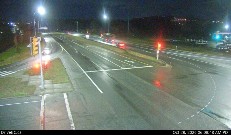
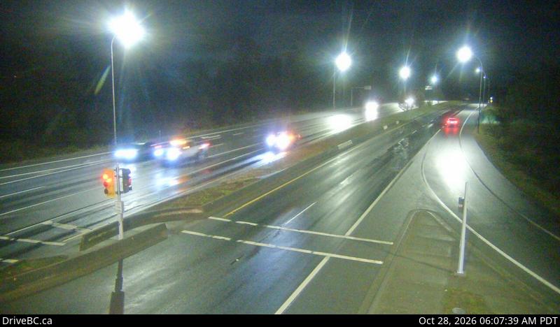
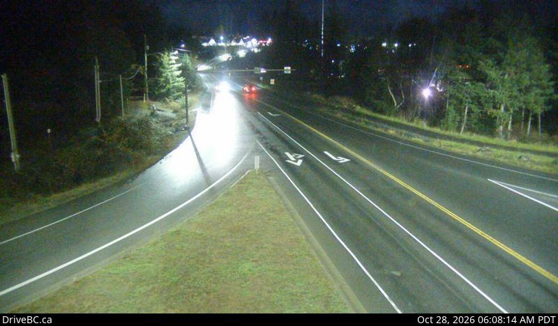
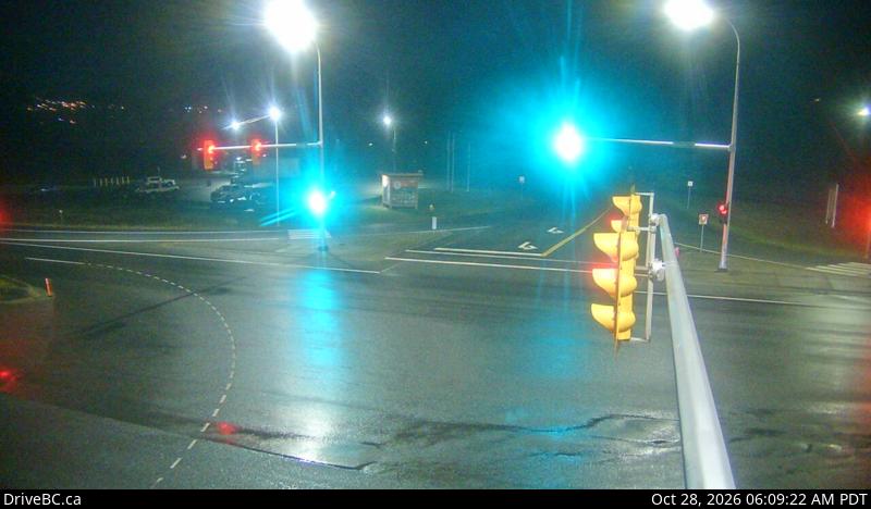

History around Mount Benson
Towns near Mount Benson
- Harewood7.5 km away
- Nanaimo8.3 km away
- North Cowichan43 km away
- Duncan48 km away
- Port Alberni56 km away
- Richmond67 km away