Mount Diablo
3,806 ft1,160 m
Mountain · Diablo Range · United States
Mount Diablo is a mountain of the Diablo Range, in Contra Costa County of the eastern San Francisco Bay Area in Northern California. It is south of Clayton and northeast of Danville. It is an isolated upthrust peak of 3,849 feet, visible from most of the San Francisco Bay Area.
From Wikipedia, CC BY-SA · Read the article
At the summit · forecast for 5:00 PM
55 °FClear · wind 9 mph from the W
 See it in 3D
Weather at the summit of Mount Diablo, 3,806 ft
- 5:00 PM55 °FW 9 mph–
- 8:00 PM46 °FW 8 mph–
- 11:00 PM41 °FSW 8 mph–
- 2:00 AM39 °FSW 8 mph–
- 5:00 AM37 °FSW 9 mph–
- 8:00 AM37 °FSW 8 mph–
- 11:00 AM48 °FSW 9 mph–
- 2:00 PM54 °FW 8 mph–
| Day | Sky | High / low | Rain | Wind up to |
|---|---|---|---|---|
| Tue, Oct 27 | Partly cloudy | 54 °F / 37 °F | – | 9 mph |
| Wed, Oct 28 | Partly cloudy | 57 °F / 37 °F | – | 6 mph |
| Thu, Oct 29 | Cloudy | 55 °F / 42 °F | – | 6 mph |
| Fri, Oct 30 | Clear | 49 °F / 38 °F | – | 9 mph |
| Sat, Oct 31 | Cloudy | 50 °F / 36 °F | – | 7 mph |
| Sun, Nov 1 | Clear | 56 °F / 37 °F | – | 6 mph |
| Mon, Nov 2 | Clear | 60 °F / 42 °F | – | 4 mph |
Forecast by MET Norway (CC BY 4.0), updated 04:20 PM PDT. Times are local.
Facts
- What it is
- Mountain
- Height above sea level
- 3,806 ft (1,160 m)
- Prominence
- 3,109 ft (948 m)
- Range
- Diablo Range
- Country
- United States
- Coordinates
- 37.882°N 121.914°W
- Source
- Wikidata, CC0
Mount Diablo
Mountain in California, US
Mount Diablo is a mountain of the Diablo Range, in Contra Costa County of the eastern San Francisco Bay Area in Northern California. It is south of Clayton and northeast of Danville. It is an isolated upthrust peak of 3,849 feet, visible from most of the San Francisco Bay Area. Mount Diablo appears from many angles to be a double pyramid and has many subsidiary peaks.
From Wikipedia, CC BY-SA · Read the article
Peaks near Mount Diablo
- Round Top1,764 ft · 25 km awayOn the map
- Grizzly Peak1,758 ft · 28 km awayOn the map
- William Rust Summit1,004 ft · 33 km awayOn the map
- Albany Hill310 ft · 34 km awayOn the map
- Sulfur Springs Mountain1,112 ft · 39 km awayOn the map
- Mount Allison2,664 ft · 43 km awayOn the map
- Telegraph Hill299 ft · 44 km awayOn the map
- Monument Peak2,598 ft · 44 km awayOn the map
- Nob Hill371 ft · 45 km awayOn the map
- Mount Olympus561 ft · 49 km awayOn the map
Highest in the Diablo Range
- San Benito Mountain5,267 ftOn the map
- Santa Rita peak5,165 ftOn the map
- Mount Hamilton4,354 ftOn the map
- Black Mountain4,345 ftOn the map
- Black Mountain3,955 ftOn the map
- Mount Diablo3,806 ftOn the map
- Laveaga Peak3,804 ftOn the map
- Black Mountain3,758 ftOn the map
- Mount Oso3,352 ftOn the map
Highest mountains in United States
- Denali20,308 ftOn the map
- Mount Saint Elias18,009 ftOn the map
- Mount Foraker17,402 ftOn the map
- Mount Bona16,535 ftOn the map
- Mount Blackburn16,390 ftOn the map
- Mount Sanford16,237 ftOn the map
- Mount Vancouver15,787 ftOn the map
- Mount Churchill15,636 ftOn the map
- Mount Fairweather15,325 ftOn the map
- Mount Hubbard14,951 ftOn the map
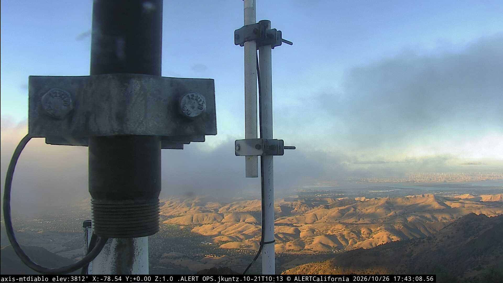
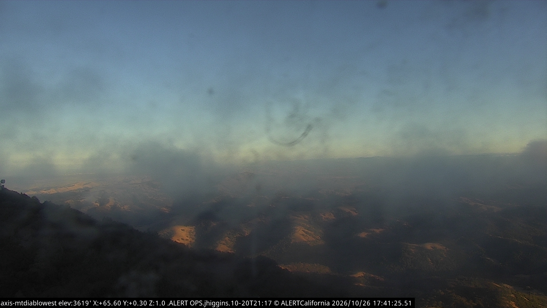
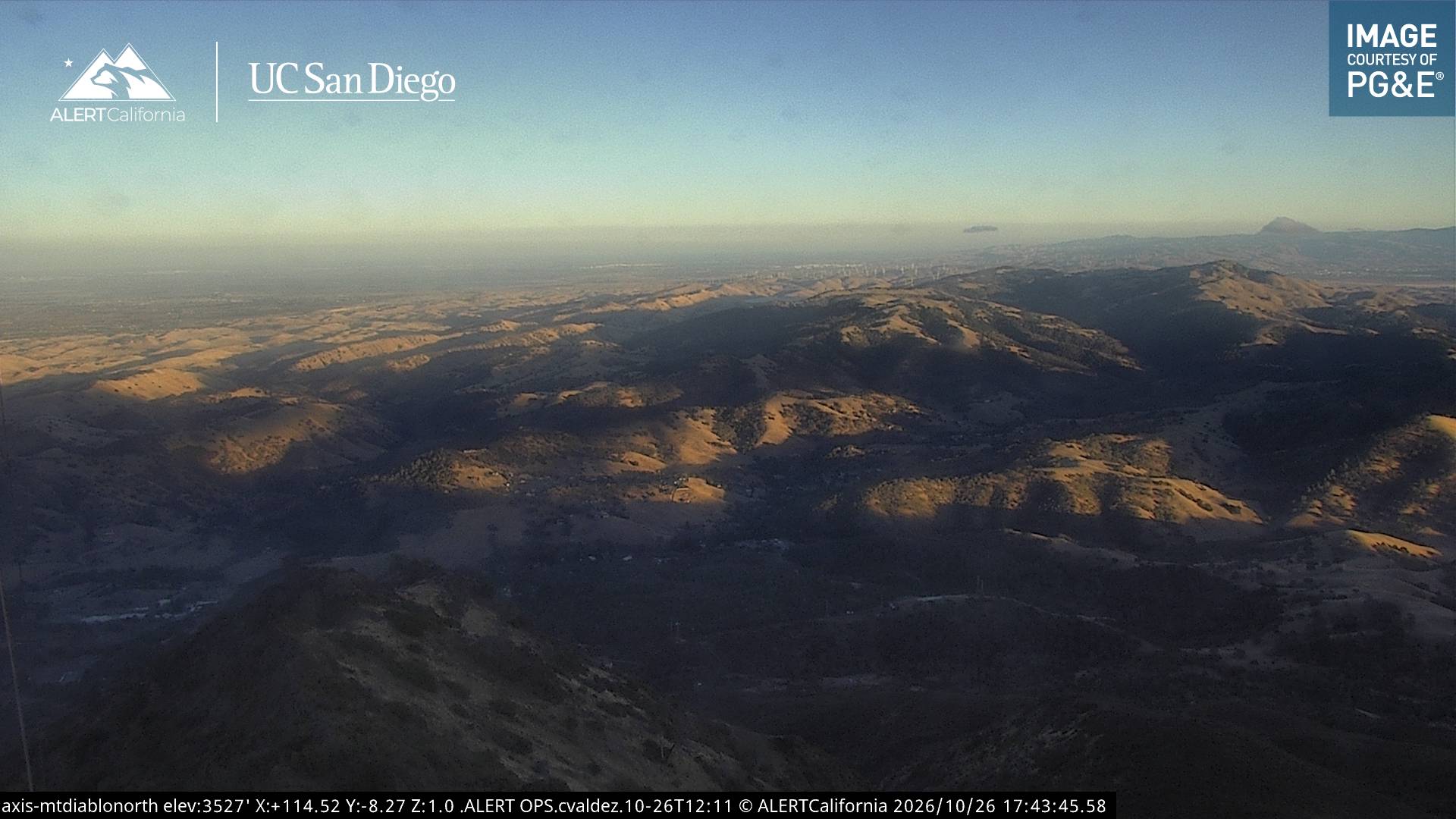
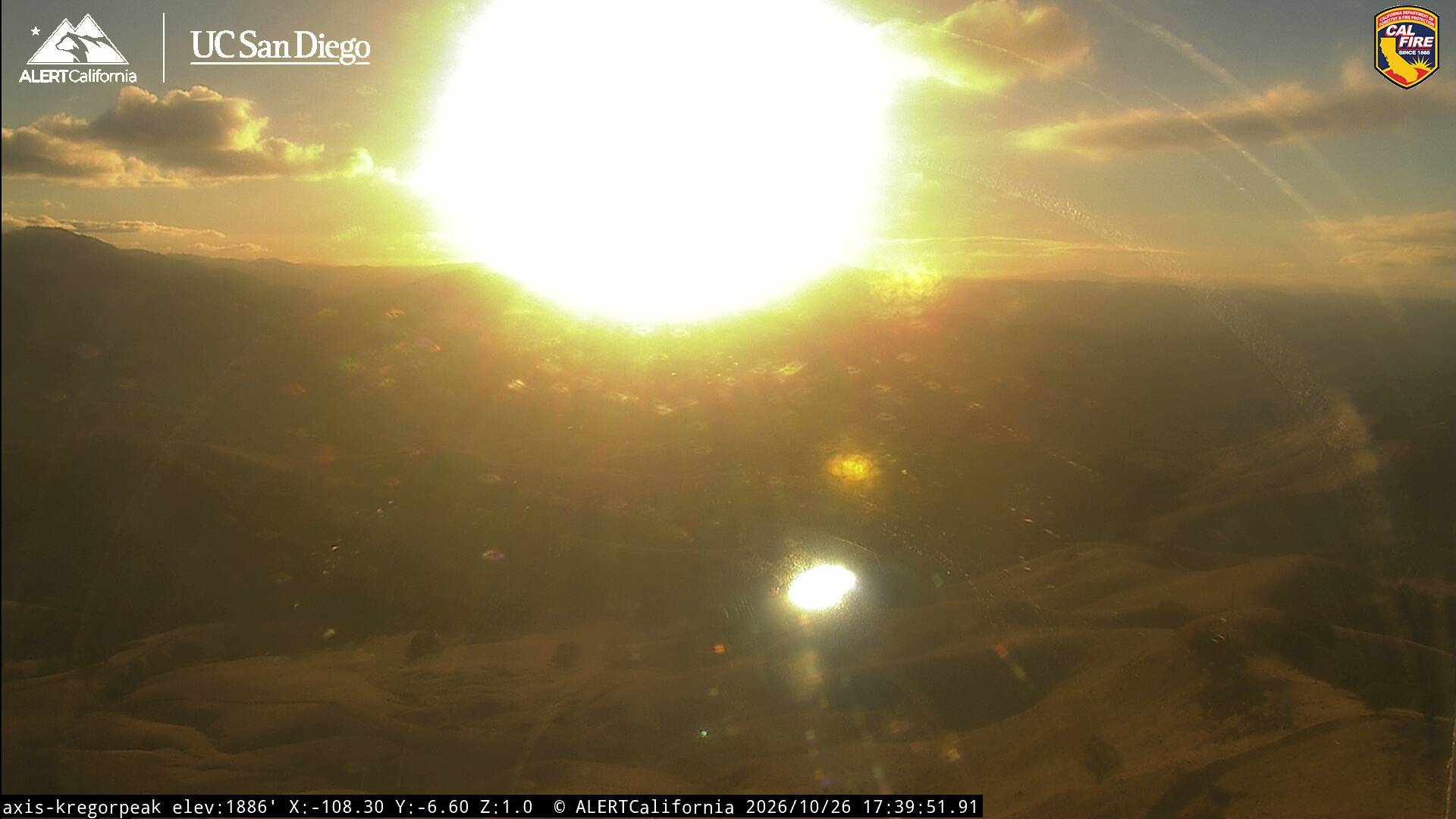
Webcams near Mount Diablo
History around Mount Diablo
Towns near Mount Diablo
- Clayton6.7 km away
- Danville10 km away
- San Ramon13 km away
- Walnut Creek14 km away
- Pleasant Hill15 km away
- Concord15 km away