 See it in 3D
Facts
- What it is
- Mountain
- Height above sea level
- 10,229 ft (3,118 m)
- Prominence
- 561 ft (171 m)
- Range
- Sawtooth Range
- Parent peak
- Mount Iowa
- Country
- United States
- Coordinates
- 44.101°N 114.973°W
- Source
- Wikidata, CC0
Peaks near Mount Heyburn
- Mount Iowa10,327 ft · 2 km awayOn the map
- Braxon Peak10,353 ft · 2.1 km awayOn the map
- Grand Mogul9,733 ft · 2.6 km awayOn the map
- Horstmann Peak10,475 ft · 2.6 km awayOn the map
- Mickey's Spire10,680 ft · 5.2 km awayOn the map
- Thompson Peak10,751 ft · 5.4 km awayOn the map
- Mount Limbert10,385 ft · 5.5 km awayOn the map
- Mount Carter10,590 ft · 5.6 km awayOn the map
- Williams Peak10,635 ft · 6.3 km awayOn the map
- Baron Peak10,297 ft · 6.4 km awayOn the map
Parent peak
The nearest higher peak its prominence is measured to.
- Mount Iowa10,327 ftOn the map
Highest in the Sawtooth Range
- Thompson Peak10,751 ftOn the map
- Mount Cramer10,716 ftOn the map
- Snowyside Peak10,651 ftOn the map
- Elk Peak10,582 ftOn the map
- Horstmann Peak10,475 ftOn the map
- Mount Heyburn10,229 ftOn the map
- Mount Regan10,190 ftOn the map
Highest mountains in United States
- Denali20,308 ftOn the map
- Mount Saint Elias18,009 ftOn the map
- Mount Foraker17,402 ftOn the map
- Mount Bona16,535 ftOn the map
- Mount Blackburn16,390 ftOn the map
- Mount Sanford16,237 ftOn the map
- Mount Vancouver15,787 ftOn the map
- Mount Churchill15,636 ftOn the map
- Mount Fairweather15,325 ftOn the map
- Mount Hubbard14,951 ftOn the map
Webcams near Mount Heyburn
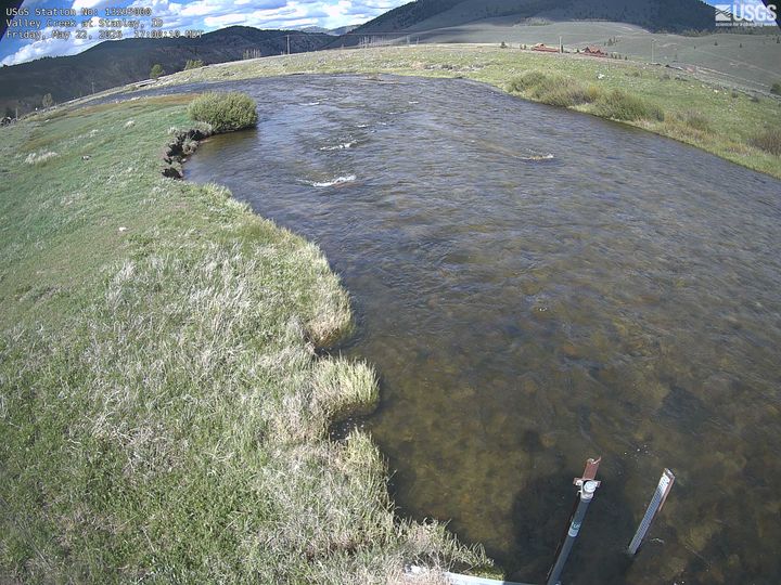

Towns near Mount Heyburn
- Sun Valley69 km away