Mount Himekami
1,124 m3,687 ft
Mountain · Kitakami Mountains · Japan
Mount Himekami is a mountain in Morioka, Iwate Prefecture, Japan. It lends its name to the band Himekami. Mt. Himekami is about 20 kilometres (12 mi) north of urban Morioka and features alpine flora and views of Mount Iwate. A relatively easy hike to its summit is practicable from April to November.
From Wikipedia, CC BY-SA · Read the article
At the summit · forecast for 8:00 AM
0 °CLight snow · wind 30 km/h from the W
 See it in 3D
Weather at the summit of Mount Himekami, 1,124 m
- 8:00 AM0 °CW 30 km/h0.6 mm
- 11:00 AM1 °CNW 33 km/h0.2 mm
- 2:00 PM1 °CW 33 km/h–
- 5:00 PM-1 °CW 23 km/h–
- 8:00 PM-2 °CW 18 km/h–
- 11:00 PM-2 °CS 21 km/h–
- 2:00 AM-1 °CSW 20 km/h–
- 5:00 AM-2 °CS 15 km/h–
| Day | Sky | High / low | Rain | Wind up to |
|---|---|---|---|---|
| Today | Partly cloudy | 1 °C / -2 °C | 0.8 mm | 34 km/h |
| Thu, Oct 29 | Partly cloudy | 6 °C / -3 °C | – | 23 km/h |
| Fri, Oct 30 | Cloudy | 10 °C / 4 °C | 2.1 mm | 19 km/h |
| Sat, Oct 31 | Rain | 8 °C / 1 °C | 5 mm | 12 km/h |
| Sun, Nov 1 | Cloudy | 3 °C / -1 °C | 0.1 mm | 16 km/h |
| Mon, Nov 2 | Rain | 6 °C / 1 °C | 9.1 mm | 23 km/h |
| Tue, Nov 3 | Clear | 5 °C / -2 °C | 0.2 mm | 17 km/h |
Forecast by MET Norway (CC BY 4.0), updated 08:18 AM GMT+9. Times are local.
Facts
- What it is
- Mountain
- Height above sea level
- 1,124 m (3,687 ft)
- Range
- Kitakami Mountains
- Country
- Japan
- Coordinates
- 39.844°N 141.247°E
- Source
- Wikidata, CC0
Mount Himekami
Mountain in Morioka, Iwate, Japan
Mount Himekami is a mountain in Morioka, Iwate Prefecture, Japan. It lends its name to the band Himekami. Mt. Himekami is about 20 kilometres (12 mi) north of urban Morioka and features alpine flora and views of Mount Iwate. A relatively easy hike to its summit is practicable from April to November.
From Wikipedia, CC BY-SA · Read the article
Peaks near Mount Himekami
- Mount Iwate2,038 m · 21 km awayOn the map
- Mount Nanashigure1,063 m · 28 km awayOn the map
- Hachimantai1,613 m · 36 km awayOn the map
- Mount Hayachine1,917 m · 38 km awayOn the map
- Akita-Komagatake1,637 m · 39 km awayOn the map
- Akita-Yakeyama1,366 m · 44 km awayOn the map
- 天峰山845 m · 4.8 km awayOn the map
- 寒風山 (岩手県)428 m · 17 km awayOn the map
- Mount OinomoriHill · 22 km awayOn the map
- 飯岡山359 m · 24 km awayOn the map
Highest in the Kitakami Mountains
- Mount Hayachine1,917 mOn the map
- Goyō-zan1,351 mOn the map
- Mount Rokkōushi1,294 mOn the map
- Mount Himekami1,124 mOn the map
- 石上山1,038 mOn the map
- Mount Murone895 mOn the map
- 黑森山837 mOn the map
- Nikkōsan672 mOn the map
- Mount Tabashine595 mOn the map
Highest mountains in Japan
- Mount Fuji3,777 mOn the map
- Mount Kita3,193 mOn the map
- Hotaka Mountains3,190 mOn the map
- Ainodake3,189 mOn the map
- Mount Yari3,180 mOn the map
- Mount Warusawa3,141 mOn the map
- Mount Akaishi3,120 mOn the map
- Mount Ontake3,067 mOn the map
- Mount Shiomi3,047 mOn the map
- Mount Senjō3,033 mOn the map
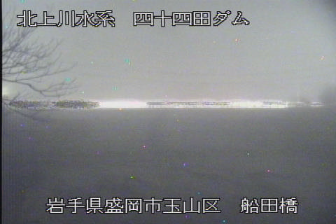
Webcams near Mount Himekami



History around Mount Himekami
Towns near Mount Himekami
- Takizawa11 km away
- Hachimantai12 km away
- Morioka18 km away
- Yahaba27 km away
- Shizukuishi28 km away
- Hizume33 km away