Mount Hopkins
2,678 m8,786 ft
Mountain · Southern Alps / Kā Tiritiri o te Moana · New Zealand
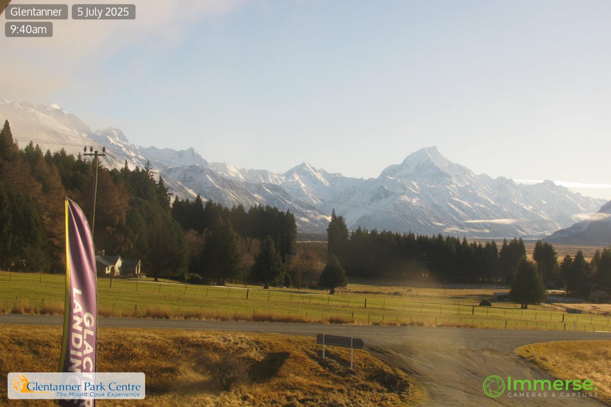
Mount Hopkins is located in the Southern Alps of New Zealand's South Island. It lies 25 kilometres (16 mi) to the southwest of Aoraki / Mount Cook, and rises to 2,678 metres (8,786 ft).
From Wikipedia, CC BY-SA · Read the article
At the summit · forecast for 9:00 PM
-10 °CFog · wind 10 km/h from the NW
 See it in 3D
Weather at the summit of Mount Hopkins, 2,678 m
- 9:00 PM-10 °CNW 10 km/h–
- 12:00 AM-12 °CNW 9 km/h–
- 3:00 AM-13 °CNW 11 km/h2.9 mm
- 6:00 AM-10 °CNW 11 km/h0.7 mm
- 9:00 AM-9 °CNW 10 km/h0.3 mm
- 12:00 PM-8 °CNW 13 km/h0.6 mm
- 3:00 PM-7 °CW 10 km/h0.3 mm
- 6:00 PM-7 °CW 9 km/h–
| Day | Sky | High / low | Rain | Wind up to |
|---|---|---|---|---|
| Fri, Oct 30 | Light snow | -7 °C / -13 °C | 4.8 mm | 13 km/h |
| Sat, Oct 31 | Clear | -3 °C / -19 °C | – | 14 km/h |
| Sun, Nov 1 | Heavy snow | -4 °C / -7 °C | 30.3 mm | 31 km/h |
| Mon, Nov 2 | Heavy snow | -1 °C / -3 °C | 91.2 mm | 19 km/h |
| Tue, Nov 3 | Snow | 0 °C / -3 °C | 44 mm | 12 km/h |
| Wed, Nov 4 | Snow | -0 °C / -3 °C | 26 mm | 12 km/h |
| Thu, Nov 5 | Sleet | 1 °C / -2 °C | 30.9 mm | 14 km/h |
Forecast by MET Norway (CC BY 4.0), updated 02:17 PM GMT+13. Times are local.
Facts
- What it is
- Mountain
- Height above sea level
- 2,678 m (8,786 ft)
- Prominence
- 507 m (1,663 ft)
- Range
- Southern Alps / Kā Tiritiri o te Moana
- Country
- New Zealand
- Coordinates
- 43.791°S 169.963°E
- Source
- Wikidata, CC0
Mount Hopkins (New Zealand)
Mountain in New Zealand
Mount Hopkins is located in the Southern Alps of New Zealand's South Island. It lies 25 kilometres (16 mi) to the southwest of Aoraki / Mount Cook, and rises to 2,678 metres (8,786 ft). Several rivers have their sources on or close to the slopes of Mount Hopkins, notably the Landsborough River to the west, the Dobson River to the east, and Hopkins River to the south.
From Wikipedia, CC BY-SA · Read the article
Peaks near Mount Hopkins
- Mount Burns2,746 m · 5.4 km awayOn the map
- Mount Sealy2,627 m · 7.2 km awayOn the map
- Mount Cran2,444 m · 7.4 km awayOn the map
- Mount Isabel2,598 m · 7.7 km awayOn the map
- Mount Edgar Thomson2,379 m · 8.2 km awayOn the map
- Fettes Peak2,451 m · 8.7 km awayOn the map
- Mount Thomson2,642 m · 11 km awayOn the map
- Mount Ollivier1,933 m · 11 km awayOn the map
- Mount Sefton3,151 m · 14 km awayOn the map
- The Footstool2,764 m · 15 km awayOn the map
Highest in the Southern Alps / Kā Tiritiri o te Moana
- Aoraki / Mount Cook3,724 mOn the map
- Mount Tasman3,497 mOn the map
- Mount Sefton3,151 mOn the map
- Mount Elie De Beaumont3,109 mOn the map
- La Perouse3,078 mOn the map
- Douglas Peak3,077 mOn the map
- The Minarets3,040 mOn the map
- Mount Aspiring / Tititea3,033 mOn the map
- Mount Hopkins2,678 mOn the map
Highest mountains in New Zealand
- Aoraki / Mount Cook3,724 mOn the map
- Mount Tasman3,497 mOn the map
- Malte-Brun3,199 mOn the map
- Mount Sefton3,151 mOn the map
- Mount Elie De Beaumont3,109 mOn the map
- La Perouse3,078 mOn the map
- Douglas Peak3,077 mOn the map
- The Minarets3,040 mOn the map
- Mount Aspiring / Tititea3,033 mOn the map
- Mount Hamilton3,025 mOn the map