Mountains in Australia
Mount Petrie
170 m558 ft
Mountain · Australia
Mount Petrie is a mountain in the south east of the city of Brisbane, Queensland, Australia. The 170-metre (560 ft) rise is sometimes referred to as Petrie Hill. It includes semi-rural residential parts of the suburbs of Mackenzie and Burbank.
From Wikipedia, CC BY-SA · Read the article
At the summit · forecast for 3:00 PM
25 °CHeavy rain · wind 11 km/h from the NE
 See it in 3D
Weather at the summit of Mount Petrie, 170 m
- 3:00 PM25 °CNE 11 km/h1.4 mm
- 6:00 PM22 °CNE 8 km/h–
- 9:00 PM21 °CN 4 km/h–
- 12:00 AM20 °CN 5 km/h0.8 mm
- 3:00 AM20 °CN 10 km/h–
- 6:00 AM19 °CW 11 km/h–
- 9:00 AM22 °CW 12 km/h–
- 12:00 PM26 °CW 15 km/h–
| Day | Sky | High / low | Rain | Wind up to |
|---|---|---|---|---|
| Wed, Oct 28 | Cloudy | 27 °C / 19 °C | 0.8 mm | 16 km/h |
| Thu, Oct 29 | Partly cloudy | 24 °C / 17 °C | – | 19 km/h |
| Fri, Oct 30 | Rain | 22 °C / 18 °C | 2.2 mm | 13 km/h |
| Sat, Oct 31 | Rain | 21 °C / 18 °C | 1.7 mm | 12 km/h |
| Sun, Nov 1 | Rain | 24 °C / 16 °C | 3.4 mm | 13 km/h |
| Mon, Nov 2 | Rain | 26 °C / 17 °C | 2 mm | 11 km/h |
| Tue, Nov 3 | Light rain | 24 °C / 17 °C | 1.9 mm | 13 km/h |
Forecast by MET Norway (CC BY 4.0), updated 11:17 AM GMT+10. Times are local.
Facts
- What it is
- Mountain
- Height above sea level
- 170 m (558 ft)
- Country
- Australia
- Coordinates
- 27.533°S 153.133°E
- Source
- Wikidata, CC0
Peaks near Mount Petrie
- North Stradbroke Island95 m · 33 km awayOn the map
- Mount ThompsonMountain · 4.9 km awayOn the map
- Whites HillMountain · 5.6 km awayOn the map
- Toohey MountainMountain · 9.5 km awayOn the map
- Enoggera HillHill · 21 km awayOn the map
- Tamborine Mountain525 m · 44 km awayOn the map
- Glow-Worm Caves Tamborine MountainMountain · 45 km awayOn the map
Highest mountains in Australia
- Mawson Peak2,745 mOn the map
- Mount Kosciuszko2,228 mOn the map
- Rams Head2,190 mOn the map
- Mount Bogong1,986 mOn the map
- Mount Feathertop1,922 mOn the map
- Bimberi Peak1,912 mOn the map
- Mount Loch1,865 mOn the map
- Mount Hotham1,861 mOn the map
- Mount Gingera1,857 mOn the map
- Mount Kelly1,829 mOn the map
Webcams near Mount Petrie
 Wishart - Mt Gravatt Capalaba Road before Gateway Motorway - East2.2 km from the summit
 Rochedale - Gateway Motorway & Miles Platting Road - South5.6 km from the summit
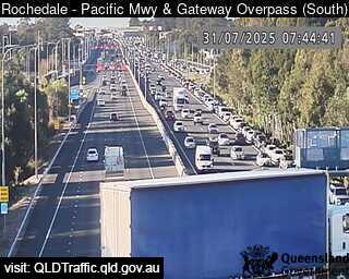 Rochedale - Pacific Motorway & Gateway Motorway Overpass - South6.1 km from the summit
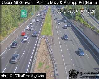 Upper Mount Gravatt - Pacific Motorway & Klumpp Road - North6.8 km from the summit
History around Mount Petrie
- World Expo 88 opens in Brisbane, Queensland, Australia1988
- Whiskey Au Go Go fire1973
- Great Fire of Brisbane1864
- 24 July 2019 University of Queensland protest2019
- Murder of Sophie Collombet2014
- Hillcrest shooting1996
- 1976 Spring Hill shooting1976
- First reported skyjacking/hijacking in the world Trans Australia Airlines Flight 4081960
Towns near Mount Petrie
- Capalaba6.9 km away
- Logan City12 km away
- Brisbane13 km away
- Narangba41 km away
- Gold Coast60 km away