 See it in 3D

Facts
- What it is
- Mountain
- Country
- Australia
- Coordinates
- 27.510°S 153.083°E
- Source
- Wikidata, CC0
Peaks near Whites Hill
- Mount Petrie170 m · 5.6 km awayOn the map
- North Stradbroke Island95 m · 39 km awayOn the map
- Mount ThompsonMountain · 2.6 km awayOn the map
- Toohey MountainMountain · 5.3 km awayOn the map
- Enoggera HillHill · 15 km awayOn the map
- Tamborine Mountain525 m · 48 km awayOn the map
- Glow-Worm Caves Tamborine MountainMountain · 49 km awayOn the map
- Mount MeeMountain · 57 km awayOn the map
Highest mountains in Australia
- Mawson Peak2,745 mOn the map
- Mount Kosciuszko2,228 mOn the map
- Rams Head2,190 mOn the map
- Mount Bogong1,986 mOn the map
- Mount Feathertop1,922 mOn the map
- Bimberi Peak1,912 mOn the map
- Mount Loch1,865 mOn the map
- Mount Hotham1,861 mOn the map
- Mount Gingera1,857 mOn the map
- Mount Kelly1,829 mOn the map
Webcams near Whites Hill
 Woolloongabba - Pacific Motorway & Arrow Street - Northwest4.7 km from the summit
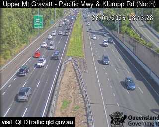 Upper Mount Gravatt - Pacific Motorway & Klumpp Road - North4.8 km from the summit
 Wishart - Mt Gravatt Capalaba Road before Gateway Motorway - East5.1 km from the summit
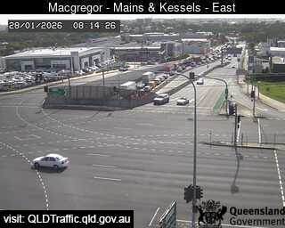 Macgregor - Mains Road & Kessels Road - East5.9 km from the summit
History around Whites Hill
- World Expo 88 opens in Brisbane, Queensland, Australia1988
- Whiskey Au Go Go fire1973
- Great Fire of Brisbane1864
- 24 July 2019 University of Queensland protest2019
- Murder of Sophie Collombet2014
- Hillcrest shooting1996
- 1976 Spring Hill shooting1976
- First reported skyjacking/hijacking in the world Trans Australia Airlines Flight 4081960
Towns near Whites Hill
- Brisbane7.2 km away
- Capalaba12 km away
- Logan City15 km away
- Narangba36 km away
- Gold Coast64 km away
- Caloundra79 km away