Mountains in United States
Mount Powell
13,586 ft4,141 m
Mountain · Gore Range · United States
The highest point of Gore Range
 See it in 3D
Facts
- What it is
- Mountain
- Height above sea level
- 13,586 ft (4,141 m)
- Range
- Gore Range
- Country
- United States
- Highest point of
- Gore Range
- Coordinates
- 39.760°N 106.341°W
- Source
- Wikidata, CC0
Peaks near Mount Powell
- Meridian Peak12,432 ft · 3.9 km awayOn the map
- Ptarmigan Peak12,504 ft · 28 km awayOn the map
- Tenderfoot Mountain11,443 ft · 32 km awayOn the map
- Mount of the Holy Cross14,006 ft · 35 km awayOn the map
- Mount Jackson13,676 ft · 35 km awayOn the map
- Jacque Peak13,211 ft · 36 km awayOn the map
- New York Mountain12,546 ft · 37 km awayOn the map
- Porcupine Peak11,798 ft · 41 km awayOn the map
- Crystal Peak13,859 ft · 41 km awayOn the map
- Pacific Peak13,957 ft · 42 km awayOn the map
Highest in the Gore Range
- Mount Powell13,586 ftOn the map
- Jacque Peak13,211 ftOn the map
- Copper Mountain12,441 ftOn the map
Highest mountains in United States
- Denali20,308 ftOn the map
- Mount Saint Elias18,009 ftOn the map
- Mount Foraker17,402 ftOn the map
- Mount Bona16,535 ftOn the map
- Mount Blackburn16,390 ftOn the map
- Mount Sanford16,237 ftOn the map
- Mount Vancouver15,787 ftOn the map
- Mount Churchill15,636 ftOn the map
- Mount Fairweather15,325 ftOn the map
- Mount Hubbard14,951 ftOn the map
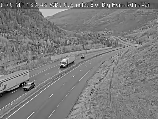
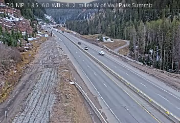
Webcams near Mount Powell



Towns near Mount Powell
- Vail14 km away
- Avon20 km away
- Silverthorne24 km away
- Dillon29 km away
- Breckenridge39 km away
- Blue River43 km away