Mountains in United States
Mount Talbert
Mountain · Oregon Cascades · United States
Mount Talbert is a volcanic cinder cone in Clackamas County, Oregon. It is part of the Boring Lava Field, a zone of ancient volcanic activity in the area around Portland. Its summit rises to an elevation of 740+ ft.
From Wikipedia, CC BY-SA · Read the article
At the summit · forecast for 11:00 PM
49 °FLight rain · wind 11 mph from the SW
 See it in 3D
Mount Talbert weather forecast
- 11:00 PM49 °FSW 11 mph0.09 in
- 2:00 AM47 °FSW 10 mph0.11 in
- 5:00 AM48 °FSW 8 mph0.11 in
- 8:00 AM48 °FSW 8 mph0.02 in
- 11:00 AM51 °FSW 7 mph0.06 in
- 2:00 PM51 °FSW 8 mph0.05 in
- 5:00 PM52 °FSW 9 mph–
- 8:00 PM46 °FSW 9 mph–
| Day | Sky | High / low | Rain | Wind up to |
|---|---|---|---|---|
| Tue, Oct 27 | Heavy rain | 55 °F / 46 °F | 0.43 in | 13 mph |
| Wed, Oct 28 | Heavy rain | 53 °F / 43 °F | 0.59 in | 17 mph |
| Thu, Oct 29 | Rain | 50 °F / 38 °F | 0.35 in | 6 mph |
| Fri, Oct 30 | Mostly clear | 51 °F / 40 °F | 0.17 in | 4 mph |
| Sat, Oct 31 | Rain | 45 °F / 33 °F | 0.95 in | 6 mph |
| Sun, Nov 1 | Mostly clear | 50 °F / 38 °F | – | 7 mph |
| Mon, Nov 2 | Cloudy | 56 °F / 44 °F | – | 10 mph |
Forecast by MET Norway (CC BY 4.0), updated 10:20 PM PDT. Times are local.
Facts
- What it is
- Mountain
- Prominence
- 410 ft (125 m)
- Range
- Oregon Cascades
- Country
- United States
- Coordinates
- 45.427°N 122.552°W
- Source
- Wikidata, CC0
Peaks near Mount Talbert
- Mount Scott1,091 ft · 3.1 km awayOn the map
- Powell Butte614 ft · 7.8 km awayOn the map
- Mount Sylvania978 ft · 13 km awayOn the map
- Rocky Butte612 ft · 13 km awayOn the map
- Cooper Mountain764 ft · 25 km awayOn the map
- Elkhorn Mountain2,225 ft · 37 km awayOn the map
- Larch Mountain4,061 ft · 38 km awayOn the map
- Silver Star Mountain4,364 ft · 43 km awayOn the map
- Tumala Mountain4,773 ft · 46 km awayOn the map
- Table Mountain3,417 ft · 53 km awayOn the map
Highest in the Oregon Cascades
- Mount Hood11,237 ftOn the map
- Mount Jefferson10,495 ftOn the map
- Three Sisters10,364 ftOn the map
- Mount Bachelor9,068 ftOn the map
- Mount Scott8,930 ftOn the map
- Diamond Peak8,748 ftOn the map
- Newberry Volcano7,986 ftOn the map
- Three Fingered Jack7,844 ftOn the map
Highest mountains in United States
- Denali20,308 ftOn the map
- Mount Saint Elias18,009 ftOn the map
- Mount Foraker17,402 ftOn the map
- Mount Bona16,535 ftOn the map
- Mount Blackburn16,390 ftOn the map
- Mount Sanford16,237 ftOn the map
- Mount Vancouver15,787 ftOn the map
- Mount Churchill15,636 ftOn the map
- Mount Fairweather15,325 ftOn the map
- Mount Hubbard14,951 ftOn the map
Webcams near Mount Talbert
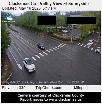
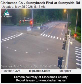
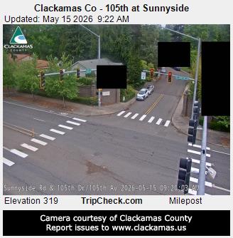
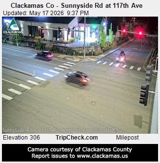
History around Mount Talbert
- Alaska Airlines Flight 1282 on 5 January 20242024
- murder of Mulugeta Seraw1988
- United Airlines Flight 1731978
- 2026 Portland shooting2026
- 2024 Portland State University pro-Palestinian campus occupation2024
- Normandale Park shooting2022
- George Floyd protests in Portland, Oregon2020
- End Domestic Terrorism rally2019
Towns near Mount Talbert
- Happy Valley2.8 km away
- Gladstone5.6 km away
- Oak Grove7 km away
- Milwaukie7.1 km away
- West Linn8.3 km away
- Oregon City8.8 km away