Facts
- What it is
- Mountain
- Height above sea level
- 3,104 m (10,184 ft)
- Prominence
- 314 m (1,030 ft)
- Range
- Livigno Alps
- Parent peak
- Piz Languard
- Countries
- Italy, Switzerland
- Coordinates
- 46.510°N 10.043°E
- Source
- Wikidata, CC0
Peaks near Munt Cotschen
- Piz Languard3,262 m · 7 km awayOn the map
- Muottas Muragl2,453 m · 11 km awayOn the map
- Piz Palü3,899 m · 16 km awayOn the map
- Piz Morteratsch3,751 m · 16 km awayOn the map
- Scima da Saoseo3,264 m · 16 km awayOn the map
- Bellavista3,921 m · 17 km awayOn the map
- Piz Bianco3,993 m · 17 km awayOn the map
- Piz Bernina4,048 m · 18 km awayOn the map
- La Spedla4,020 m · 18 km awayOn the map
- Piz Zupò3,995 m · 18 km awayOn the map
Parent peak
The nearest higher peak its prominence is measured to.
- Piz Languard3,262 mOn the map
Peaks below Munt Cotschen
- Piz Lavirun3,058 mOn the map
- Piz Mezzaun2,963 mOn the map
Highest in the Livigno Alps
- Cima Viola3,374 mOn the map
- Pizzo Dosdè3,280 mOn the map
- Scima da Saoseo3,264 mOn the map
- Piz Languard3,262 mOn the map
- Corno di Dosdè3,232 mOn the map
- Piz Vadret3,199 mOn the map
- Piz Albris3,166 mOn the map
- Piz Quattervals3,165 mOn the map
- Munt Cotschen3,104 mOn the map
Highest mountains in Italy
- Mont Blanc4,806 mOn the map
- Lyskamm4,532 mOn the map
- Matterhorn4,478 mOn the map
- Pointe Walker4,208 mOn the map
- Grandes Jorasses4,208 mOn the map
- Dent d'Hérens4,173 mOn the map
- Breithorn4,160 mOn the map
- Munt Cotschen3,104 mOn the map
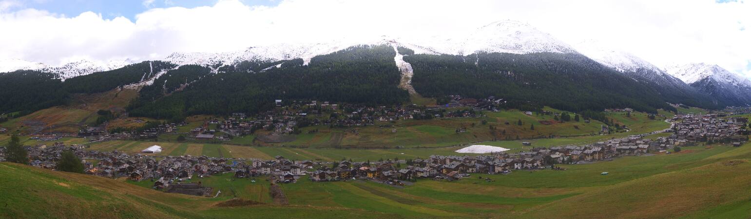
Webcams near Munt Cotschen


History around Munt Cotschen
- The 1928 Winter Olympics are held in St. Moritz, Switzerland, the first as a separate event1928
- The 1948 Winter Olympics open in St Moritz, Switzerland1948
- Battle of the Adda River490
- FIS Alpine World Ski Championships 20172017
- FIS Alpine World Ski Championships 1934 took place in Switzerland1934
- Avalanche accident at Alp Grüm1937
- Bündner Wirren1618