 See it in 3D
Facts
- What it is
- Mountain
- Height above sea level
- 639 m (2,096 ft)
- Range
- Anterior Rhön
- Country
- Germany
- Coordinates
- 50.535°N 10.244°E
- Source
- Wikidata, CC0
Peaks near Neuberg
- Gebaberg751 m · 6.4 km awayOn the map
- Hohe Schule538 m · 6.9 km awayOn the map
- Rother Kuppe711 m · 12 km awayOn the map
- Ellenbogen813 m · 12 km awayOn the map
- Gangolfsberg736 m · 14 km awayOn the map
- Stirnberg902 m · 15 km awayOn the map
- Eiersberg349 m · 15 km awayOn the map
- Buchschirm745 m · 16 km awayOn the map
- Steinkopf888 m · 17 km awayOn the map
- Auersberg757 m · 18 km awayOn the map
Highest in the Anterior Rhön
- Neuberg639 mOn the map
- Neuberg528 mOn the map
Highest mountains in Germany
- Zugspitze2,962 mOn the map
- Hochwanner2,744 mOn the map
- Dreitorspitze2,682 mOn the map
- Hochkalter2,607 mOn the map
- Biberkopf2,599 mOn the map
- Großer Hundstod2,594 mOn the map
- Hochvogel2,592 mOn the map
- Östliche Karwendelspitze2,538 mOn the map
- Hocheisspitze2,523 mOn the map
- Hoher Göll2,522 mOn the map
Webcams near Neuberg
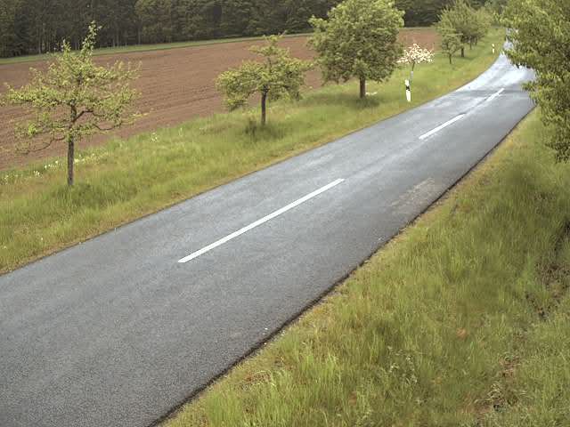
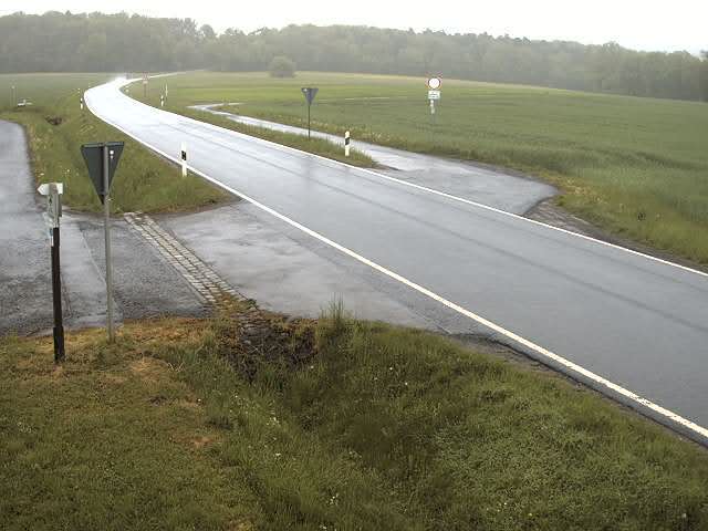

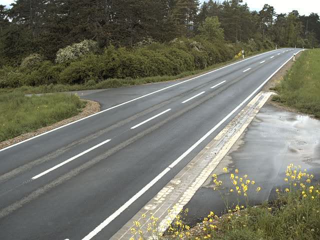

History around Neuberg
Towns near Neuberg
- Meiningen13 km away
- Bad Neustadt an der Saale24 km away
- Schmalkalden25 km away
- Bad Salzungen31 km away
- Suhl33 km away
- Künzell37 km away