Mountains in Italy
Ortler
3,905 m12,812 ft
Mountain · Ortler Alps · Italy
Ortler is, at 3,905 m (12,812 ft) above sea level, the highest mountain in the Eastern Alps outside the Bernina Range. It is the main peak of the Ortler Range. It is the highest point of the Southern Limestone Alps, of South Tyrol in Italy, of Tyrol overall, and, until 1919, of the Austro-Hungarian Empire.
From Wikipedia, CC BY-SA · Read the article
The highest point of Southern Limestone Alps, Ortler Alps, Southern Rhaetian Alps, Alpes de Ortles, and Group Ortles-Cevedale
At the summit · forecast for 1:00 AM
-7 °CPartly cloudy · wind 4 km/h from the S
 See it in 3D
Weather at the summit of Ortler, 3,905 m
- 1:00 AM-7 °CS 4 km/h–
- 4:00 AM-8 °CS 4 km/h–
- 7:00 AM-9 °CSE 5 km/h–
- 10:00 AM-3 °CNW 4 km/h–
- 1:00 PM-1 °CNW 7 km/h–
- 4:00 PM-2 °CNW 6 km/h–
- 7:00 PM-5 °CW 4 km/h–
- 10:00 PM-6 °CS 4 km/h–
| Day | Sky | High / low | Rain | Wind up to |
|---|---|---|---|---|
| Today | Clear | -0 °C / -9 °C | – | 7 km/h |
| Wed, Oct 28 | Mostly clear | -3 °C / -11 °C | – | 8 km/h |
| Thu, Oct 29 | Mostly clear | -4 °C / -12 °C | – | 6 km/h |
| Fri, Oct 30 | Clear | -5 °C / -12 °C | – | 5 km/h |
| Sat, Oct 31 | Mostly clear | -2 °C / -12 °C | – | 2 km/h |
| Sun, Nov 1 | Mostly clear | -1 °C / -10 °C | – | 4 km/h |
| Mon, Nov 2 | Clear | -3 °C / -11 °C | – | 5 km/h |
Forecast by MET Norway (CC BY 4.0), updated 12:20 AM GMT+1. Times are local.
Facts
- What it is
- Mountain
- Height above sea level
- 3,905 m (12,812 ft)
- Prominence
- 1,950 m (6,398 ft)
- Isolation
- 49 km to higher ground
- Range
- Ortler Alps
- Parent peak
- Piz Bernina
- Country
- Italy
- Highest point of
- Southern Limestone Alps, Ortler Alps, Southern Rhaetian Alps, Alpes de Ortles, and Group Ortles-Cevedale
- Coordinates
- 46.509°N 10.545°E
- Source
- Wikidata, CC0
Peaks near Ortler
- Königspitze3,851 m · 3.8 km awayOn the map
- Piz da las Trais Linguas2,843 m · 7.5 km awayOn the map
- Monte Cevedale3,769 m · 8.9 km awayOn the map
- Piz Chavalatsch2,763 m · 12 km awayOn the map
- Piz Sesvenna3,204 m · 24 km awayOn the map
- Saldurspitze3,433 m · 30 km awayOn the map
- Scima da Saoseo3,264 m · 33 km awayOn the map
- Schwemser Spitze3,459 m · 33 km awayOn the map
- Presanella3,556 m · 33 km awayOn the map
- Piz Paradisin3,302 m · 34 km awayOn the map
Parent peak
The nearest higher peak its prominence is measured to.
- Piz Bernina4,048 mOn the map
Peaks below Ortler
- Piz Sesvenna3,204 mOn the map
- Piz Murtaröl3,180 mOn the map
- Punta Rosa3,026 mOn the map
- Piz Daint2,968 mOn the map
- Piz Minschuns2,934 mOn the map
- Piz Chavalatsch2,763 mOn the map
Highest in the Ortler Alps
- Ortler3,905 mOn the map
- Königspitze3,851 mOn the map
- Monte Cevedale3,769 mOn the map
- Punta San Matteo3,678 mOn the map
- Thurwieserspitze3,652 mOn the map
- Vertainspitze3,545 mOn the map
- Hintere Eggenspitze3,443 mOn the map
- Veneziaspitze3,386 mOn the map
Highest mountains in Italy
- Mont Blanc4,806 mOn the map
- Lyskamm4,532 mOn the map
- Matterhorn4,478 mOn the map
- Pointe Walker4,208 mOn the map
- Grandes Jorasses4,208 mOn the map
- Dent d'Hérens4,173 mOn the map
- Breithorn4,160 mOn the map
- Ortler3,905 mOn the map
Webcams near Ortler


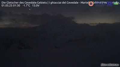
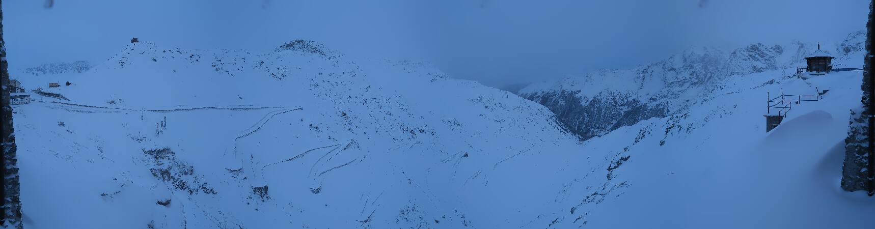
History around Ortler
- Battle of Calven1499
- massacre de Lasa1945