Osobitá
1,687 m5,535 ft
Mountain · Western Tatras · Slovakia
Die Osobitá ist ein 1687 m n.m. hoher Kalkberg in der slowakischen Westtatra. Mit angrenzenden Bergen bildet sie den gleichnamigen geomorphologischen Teil der Westtatra nördlich des Hauptkamms und ist dessen höchster Berg.
From German Wikipedia, CC BY-SA · Read the article
At the summit · forecast for 10:00 AM
1 °CClear · wind 9 km/h from the NE
 See it in 3D
Weather at the summit of Osobitá, 1,687 m
- 10:00 AM1 °CNE 9 km/h–
- 1:00 PM4 °CNE 13 km/h–
- 4:00 PM1 °CNE 10 km/h–
- 7:00 PM-3 °CSE 5 km/h–
- 10:00 PM-2 °CS 4 km/h–
- 1:00 AM-3 °CS 4 km/h–
- 4:00 AM-1 °CS 4 km/h–
- 7:00 AM-0 °CSW 5 km/h–
| Day | Sky | High / low | Rain | Wind up to |
|---|---|---|---|---|
| Today | Clear | 4 °C / -3 °C | – | 13 km/h |
| Wed, Oct 28 | Clear | 6 °C / -3 °C | – | 8 km/h |
| Thu, Oct 29 | Light snow | 1 °C / -2 °C | 1.7 mm | 13 km/h |
| Fri, Oct 30 | Cloudy | 1 °C / -1 °C | 1 mm | 14 km/h |
| Sat, Oct 31 | Mostly clear | 2 °C / -3 °C | – | 13 km/h |
| Sun, Nov 1 | Partly cloudy | 5 °C / -2 °C | – | 6 km/h |
| Mon, Nov 2 | Cloudy | 2 °C / -4 °C | 5.5 mm | 15 km/h |
Forecast by MET Norway (CC BY 4.0), updated 02:17 AM GMT+1. Times are local.
Facts
- What it is
- Mountain
- Height above sea level
- 1,687 m (5,535 ft)
- Range
- Western Tatras
- Country
- Slovakia
- Coordinates
- 49.261°N 19.722°E
- Source
- Wikidata, CC0
Osobitá
Berg in der Slowakei
Die Osobitá ist ein 1687 m n.m. hoher Kalkberg in der slowakischen Westtatra. Mit angrenzenden Bergen bildet sie den gleichnamigen geomorphologischen Teil der Westtatra nördlich des Hauptkamms und ist dessen höchster Berg. Der Berg befindet sich nördlich von Zverovka über den Tälern Roháčska dolina und Suchá dolina, der Gipfelbereich ist zwischen den Gemeinden Vitanová, Zuberec und Habovka geteilt.
From German Wikipedia, CC BY-SA · Read the article
Peaks near Osobitá
- Volovec2,063 m · 6.6 km awayOn the map
- Baníkov2,178 m · 7.1 km awayOn the map
- Klin2,173 m · 9.9 km awayOn the map
- Bystrá2,248 m · 12 km awayOn the map
- Ciemniak2,096 m · 14 km awayOn the map
- Kresanica2,122 m · 14 km awayOn the map
- Malolučniak2,105 m · 15 km awayOn the map
- Giewont1,895 m · 15 km awayOn the map
- Kopa Kondracka2,005 m · 15 km awayOn the map
- Gubałówka1,126 m · 16 km awayOn the map
Highest in the Western Tatras
- Bystrá2,248 mOn the map
- Baranec2,184 mOn the map
- Veľká Kamenistá2,127 mOn the map
- Kresanica2,122 mOn the map
- Veľká kopa2,052 mOn the map
- Osobitá1,687 mOn the map
Highest mountains in Slovakia
- Gerlachovský štít2,654 mOn the map
- Lomnický štít2,634 mOn the map
- Ľadový štít2,627 mOn the map
- Kriváň2,494 mOn the map
- Slavkovský štít2,452 mOn the map
- Świnica2,302 mOn the map
- Bystrá2,248 mOn the map
- Osobitá1,687 mOn the map
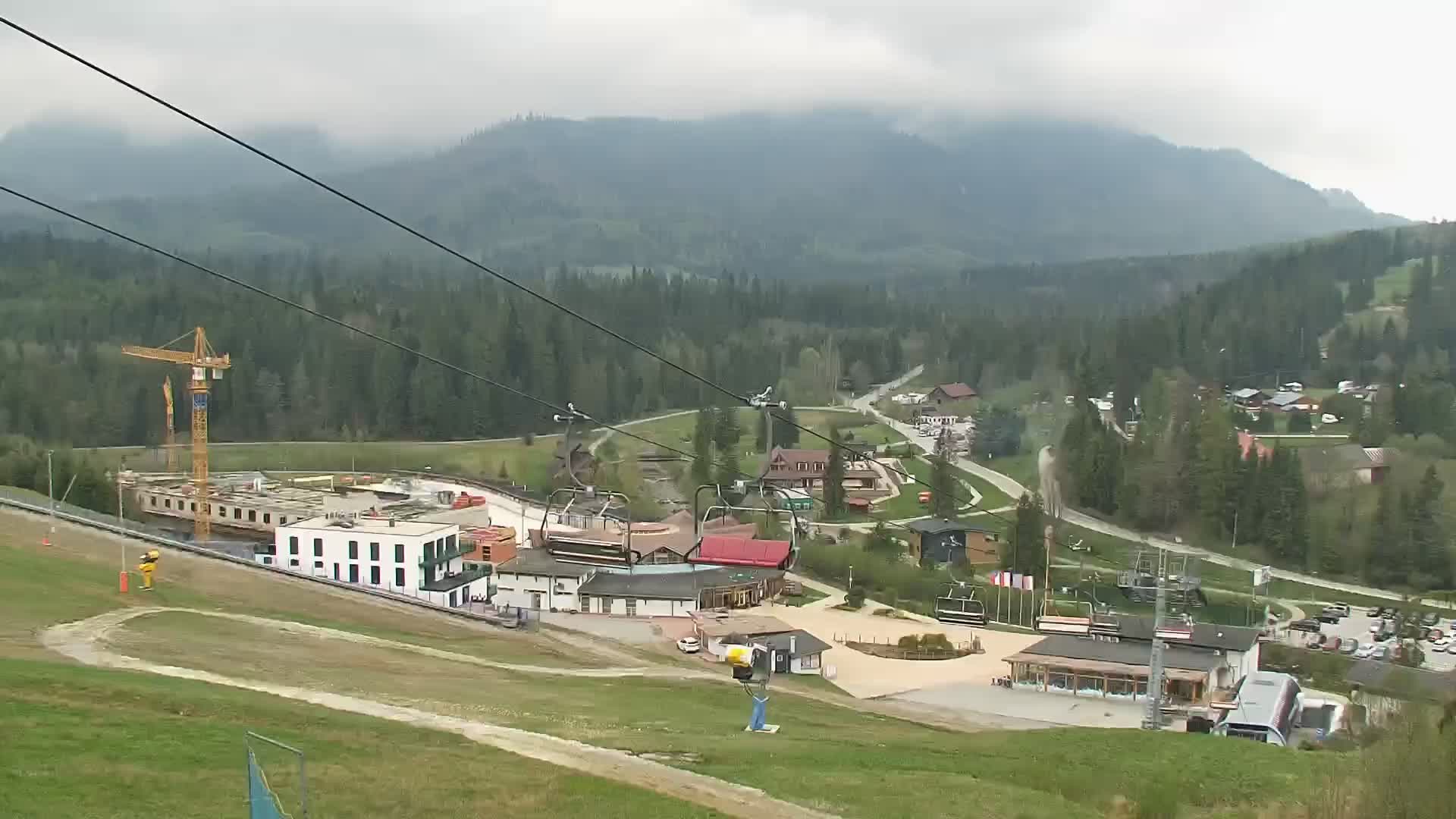
Webcams near Osobitá

History around Osobitá
Towns near Osobitá
- Zakopane17 km away
- Liptovský Mikuláš21 km away
- Dolný Kubín31 km away
- Nowy Targ33 km away
- Ružomberok37 km away
- Poprad47 km away